North Half
Fjallakofahlaupið North Half
Trail Running Difficult
- Distance
- 26 km
- Ascent
- 1.1 km
- Descent
- 1.1 km
- Duration
- 3-4 hrs
- Low Point
- 4 m
- High Point
- 654 m
- Gradient
- 14˚

This is a popular trail running route which is generally considered to be difficult. It's very remote, it features medium exposure and is typically done between July and September. From a low point of 4 m to the maximum altitude of 654 m, the route covers 26 km, 1081 vertical metres of ascent and 1087 vertical metres of descent.
- •
- •
- •
- •
Description
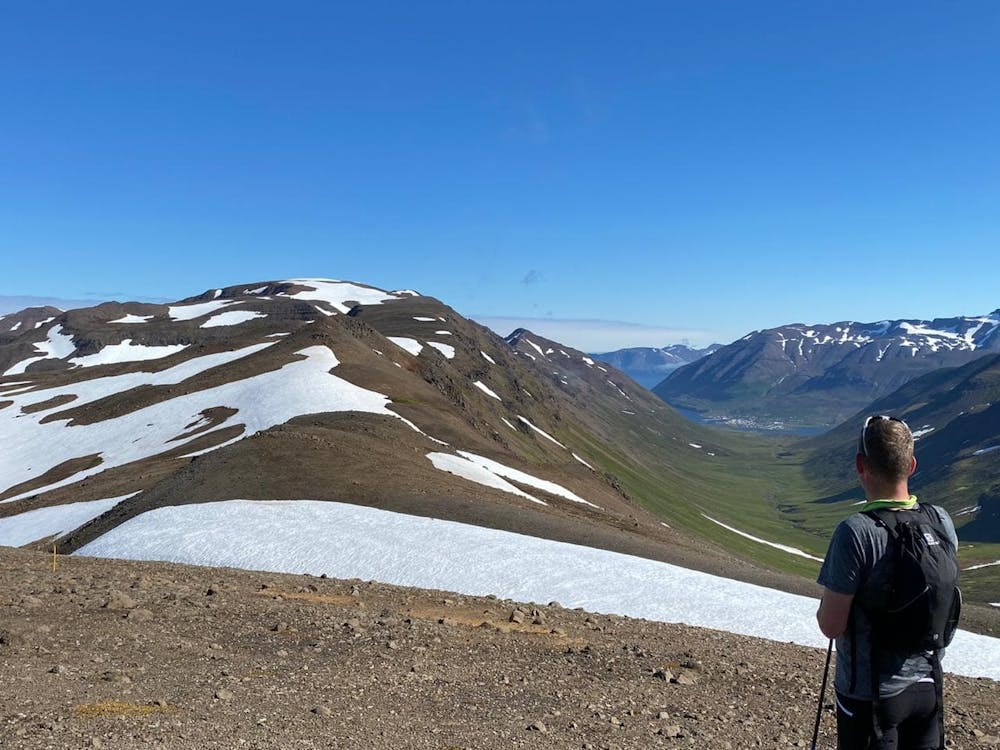
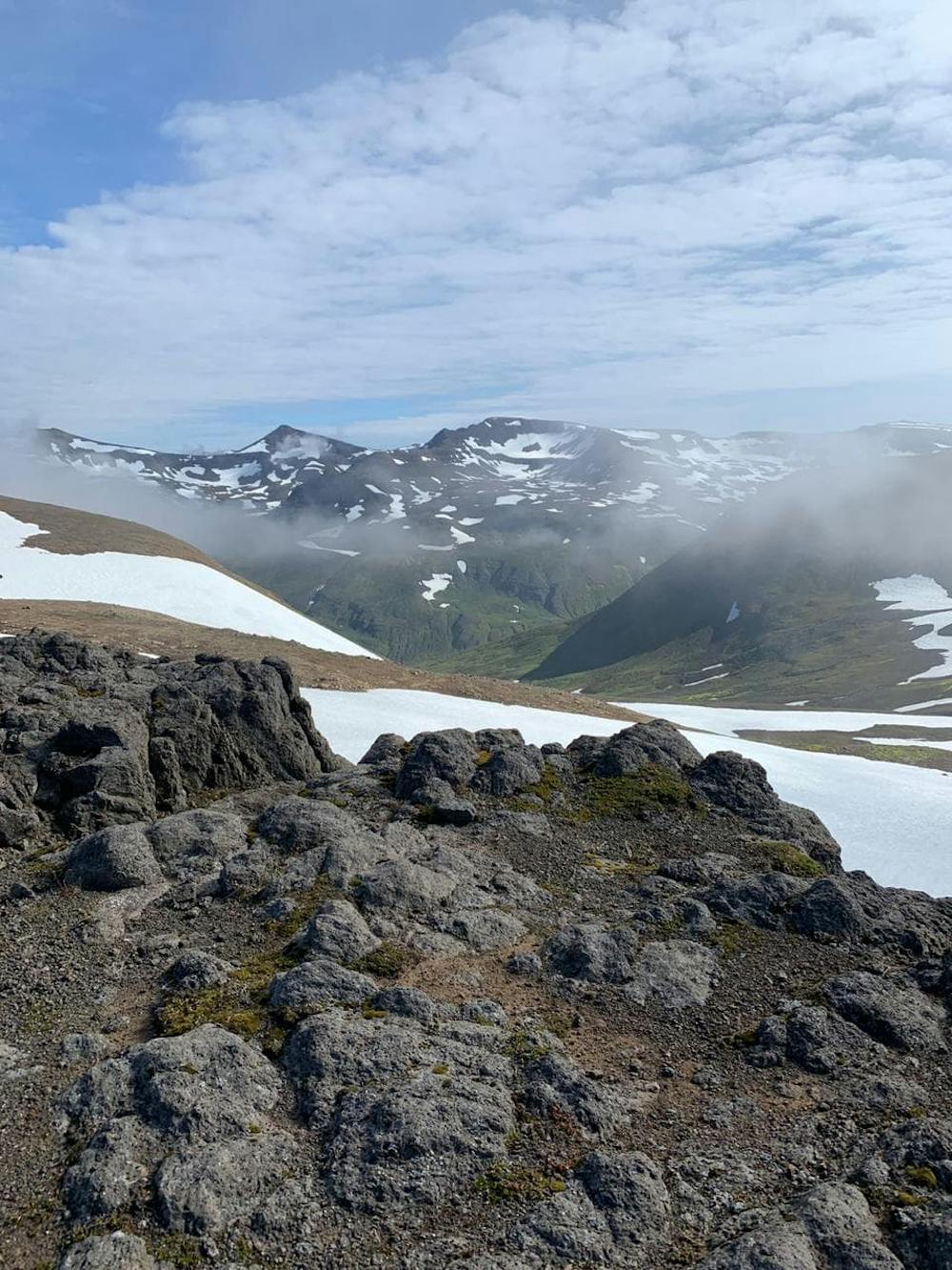
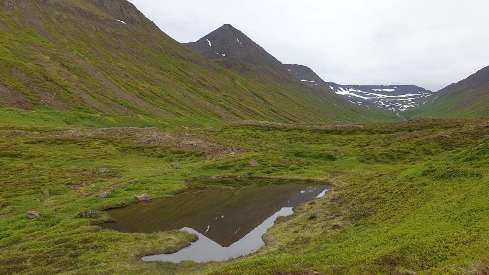
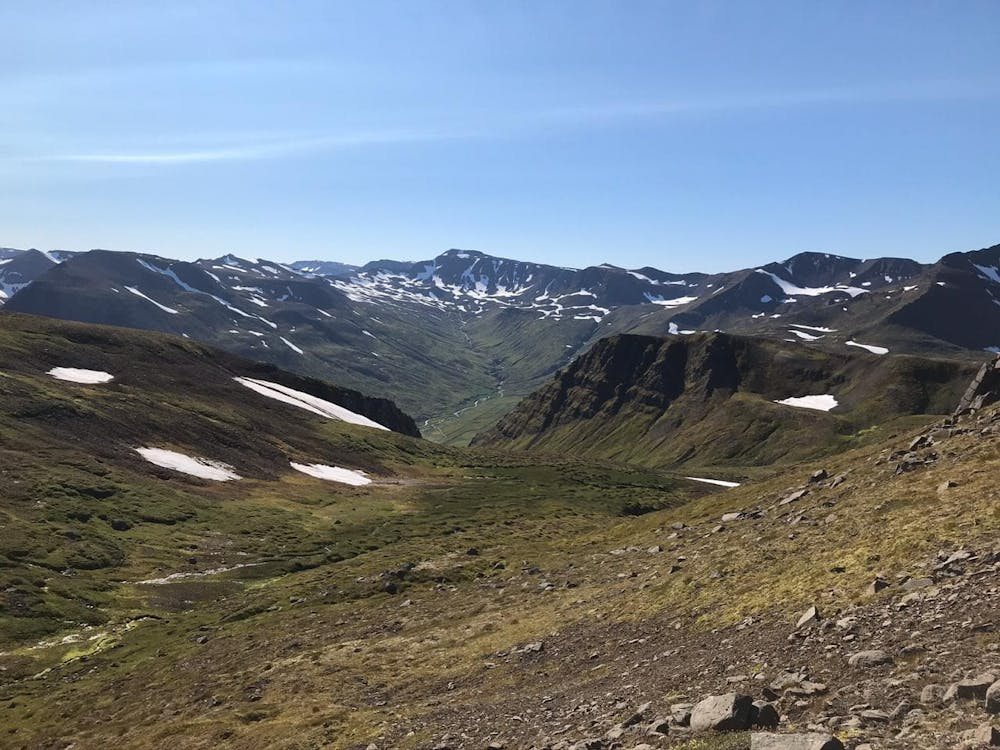
North Half- mountain trail run in the Troll Peninsula
Difficulty
Difficult
Medium Exposure

The trail contains some obstacles such as outcroppings and rock which could cause injury.
Remoteness

Little chance of being seen or helped in case of an accident.