15 routes · Hiking
Nice and easy walk along the black beach.
Hiking Easy

Gengið er eftir svartri ströndinni alla leið niður að ósum Héraðsvatna. Á leiðinni er gengið fram hjá skipsflaki sem er orðið nokkurskonar kennileyti á sandinum. Flakið er af skipinu Ernunni sem dregin var frá Sauðárkrókshöfn í kringum 1970 en til stóð að brenna skipið við Borgarsand. Ekki tókst betur til en hún brann ekki og endaði sem draugaskip í fjöruborðinu. Frábær staður fyrir ljósmyndara. Mjög gott aðgengi er að fjörunni allan ársins hring
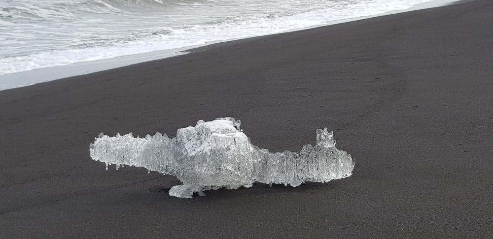
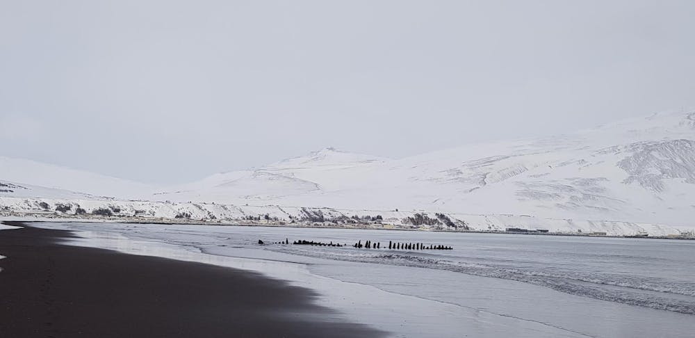
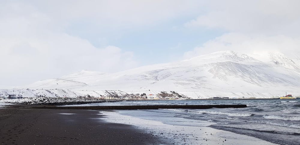
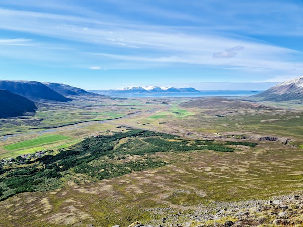
English: Very nice walk along Borgarsandur, the beautiful long black beach near the town Sauðárkrókur. Good accessibility all year round. You can park the car at the west end of the beach. At the beach you will find a shipwreck of the ship Erna. Erna was around 1970 dragged from Sauðárkrókur's docks to Borgarsandur to be set on fire and destroyed. But the ship did not burn and is now as a ghostly skeleton on the beach. Ernan has become a landmark on the beach. Enjoy the stunning view over Skagafjörður all year around.
Easy
Walking along a well-kept trail that’s mostly flat. No obstacles are present.

The path is on completely flat land and potential injury is limited to falling over.
Close to help in case of emergency.
15 routes · Hiking