15 routes · Hiking
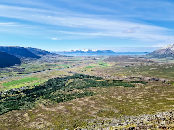
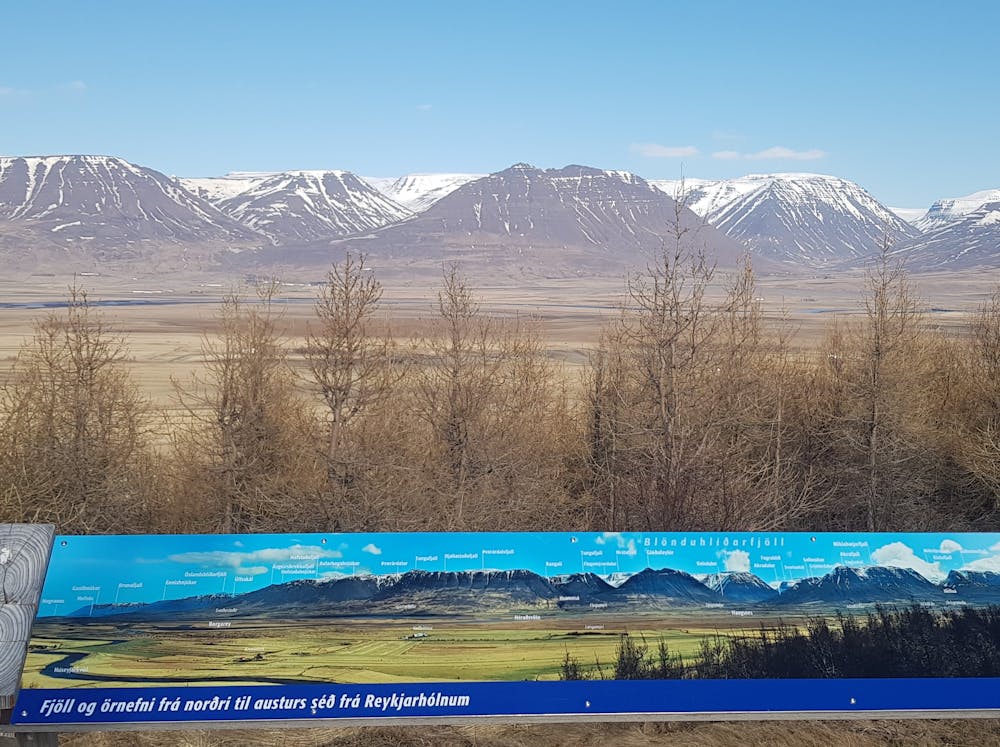
Magnificent view of Skagafjörður
Hiking Difficult

Glóðarfeykir er tilkomumikið og formfagurt fjall með tröppulaga hraunlagastöflum fyrir ofan bæinn Flugumýri. Leiðin upp á Glóðafeyki hefst við Flugumýrarkirkju og er gengið upp á Glóðafeyki að norðanverðu. Á leiðinni er farið yfir prílu og í gegnum hlið sem mikilvægt er að loka á eftir sér. Fjallið er tignarlegt og á toppnum er glæsilegt útsýni yfir Skagafjörð.
English: The track to Glóðafeykir begins at the Flugumyri Church. From there, continue through the farm towards the mountain. Be mindful of closing gates again. There might be sheep and horses in the meadow. When you crossed the fence over the A-frame, continue through the meadow upwards towards the mountain. You can hike up on the north side of the mountain and follow the path up until the summit where you will enjoy the breathtaking view over Skagafjördur.
Difficult
Hiking trails where obstacles such as rocks or roots are prevalent. Some obstacles can require care to step over or around. At times, the trail can be worn and eroded. The grade of the trail is generally quite steep, and can often lead to strenuous hiking.

Some trail sections have exposed ledges or steep ascents/descents where falling could cause serious injury.

Away from help but easily accessed.
15 routes · Hiking