15 routes · Hiking
Popular hike with stunning view.
Hiking Moderate

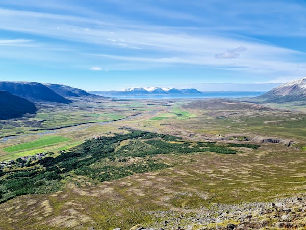
Molduxi er eins konar bæjarfjall Sauðkrækinga enda staðsett rétt við Sauðárkrók. Fjallið er 706 m hátt og er nokkuð auðvelt uppgöngu. Þaðan er víðsýnt yfir Skagafjörð og liggur vinsæl gönguleið upp á fjallið frá Hótel Miklagarði upp í gegnum Litlaskóg eftir nokkuð sýnilegri slóð. Molduxi er hluti af leifum fornrar megineldstöðvar og er þar að finna mikið af líparít.
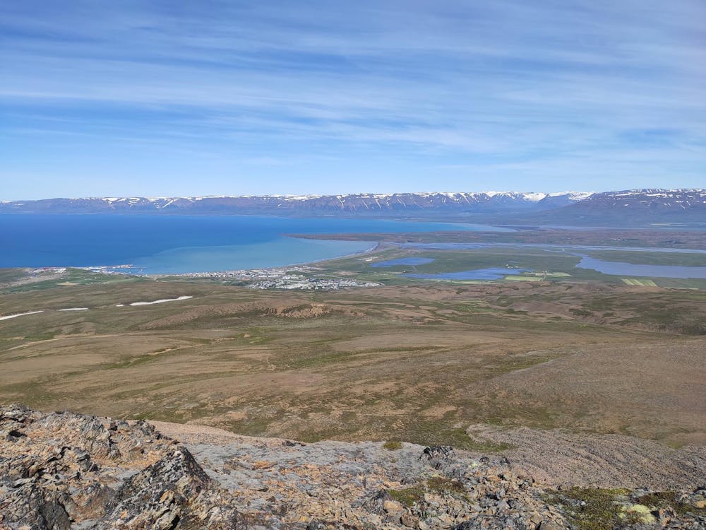
English: The starting point is from the parkinglot at the Hotel Mikligarður in Sauðárkrókur. A path leads along Sauðá river and through a small forest, you then follow an old road to the top of Molduxi mountain. The top is steep and the subsoil is loose. On the way back you head to Molduxaskarð pass, over a fence ladder and follow the path down Skógarhlíð hill.
Moderate
Hiking along trails with some uneven terrain and small hills. Small rocks and roots may be present.

The trail contains some obstacles such as outcroppings and rock which could cause injury.

Close to help in case of emergency.
15 routes · Hiking