15 routes · Hiking
short hike to the near waterfall
Hiking Easy

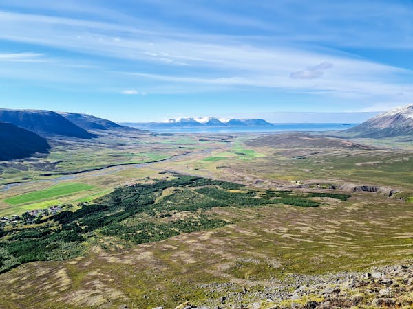
The trail from Örlygsstaðir leads from the parking lot to the memorial sign for the battle of Örlygsstaðir. The Battle of Örlygsstaðir was a historic battle fought by the Sturlungar against the Ásbirningar and the Haukdælir clans in northern Iceland. The battle was part of the civil war that was taking place in Iceland at the time between various powerful clans during the time known as the Age of the Sturlungs. The path continues along the fence, following the sheep gate up until the river, crossing the river and going further up the hill. Once it finds the second river, it follows along it‘s side up until the waterfall. The track ends at a viewpoint for the waterfall and returns the same way. Be aware of sheep or horses running freely in the area.
Easy
Walking along a well-kept trail that’s mostly flat. No obstacles are present.

The trail contains some obstacles such as outcroppings and rock which could cause injury.
Away from help but easily accessed.
15 routes · Hiking