Heiðmörk - Ríkishringurinn
A hike through Heiðmörk nature reserve
Hiking Easy
- Distance
- 13 km
- Ascent
- 343 m
- Descent
- 348 m
- Duration
- 3-4 hrs
- Low Point
- 58 m
- High Point
- 166 m
- Gradient
- 6˚

This is a popular hiking route which is generally considered to be easy. It's not remote, it features low exposure and is typically done all year round. From a low point of 58 m to the maximum altitude of 166 m, the route covers 13 km, 343 vertical metres of ascent and 348 vertical metres of descent.
- •
- •
- •
- •
- •
Description
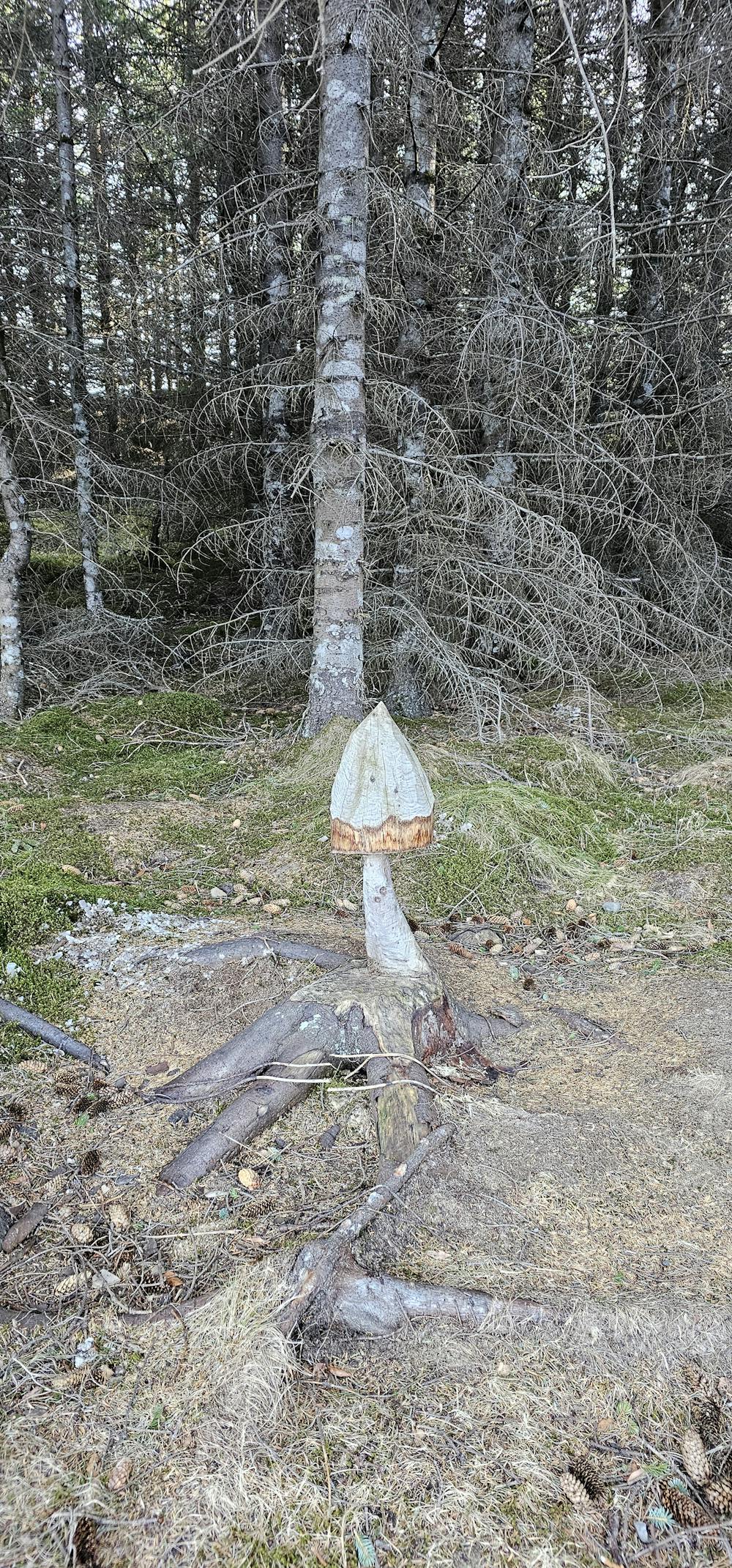
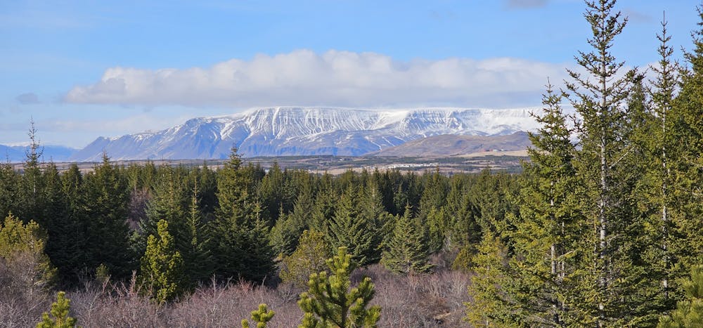
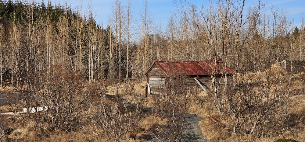
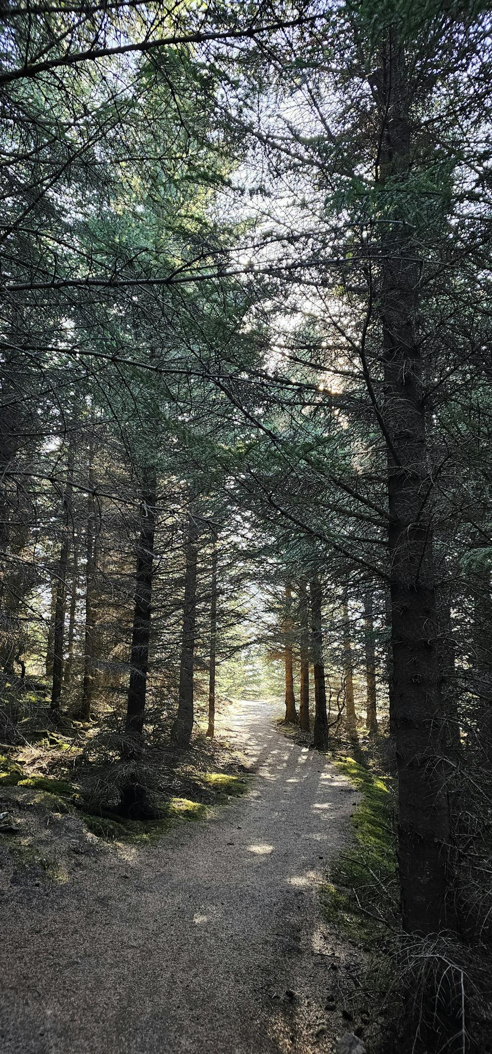
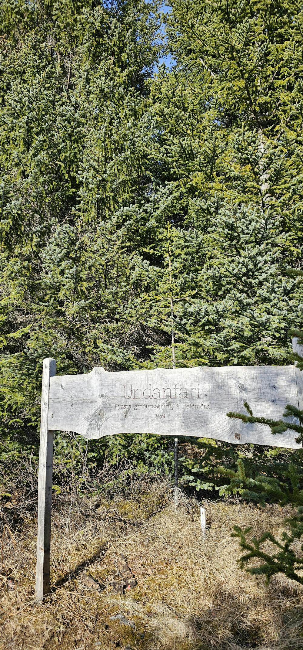
Explore Heiðmörk Nature Reserve on a 13 km hike through woodlands and by Lake Elliðarvatn. The route is long but not technically difficult, ideal for hikers with good stamina.
Difficulty
Easy
Walking along a well-kept trail that’s mostly flat. No obstacles are present.
Low Exposure

The path is on completely flat land and potential injury is limited to falling over.
Remoteness
Close to help in case of emergency.
Best time to visit
Features
- Historical
- Picturesque
- Dog friendly
- Water features
- Family friendly
- Forestry or heavy vegetation