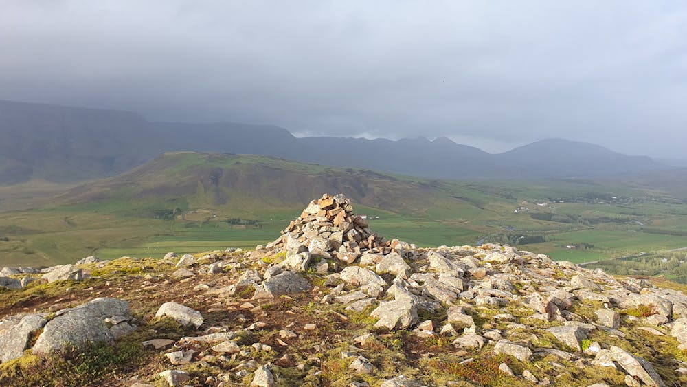
Helgafell
In Mosfellsbær. One of the easiest mountains to hike around the capital. First part is steep then after that it is fairly easy.
Hiking Easy
- Distance
- 4.2 km
- Ascent
- 191 m
- Descent
- 197 m
- Duration
- 1-2 hrs
- Low Point
- 65 m
- High Point
- 226 m
- Gradient
- 9˚

This is a popular hiking route which is generally considered to be easy. It's not remote, it features medium exposure and is typically done between May and September. From a low point of 65 m to the maximum altitude of 226 m, the route covers 4.2 km, 191 vertical metres of ascent and 197 vertical metres of descent.
Description
In Mosfellsbær. One of the easiest mountains to hike around the capital.
Difficulty
Easy
Walking along a well-kept trail that’s mostly flat. No obstacles are present.
Medium Exposure

The trail contains some obstacles such as outcroppings and rock which could cause injury.
Remoteness

Close to help in case of emergency.
Best time to visit
Features
- Summit Hike
- Family friendly