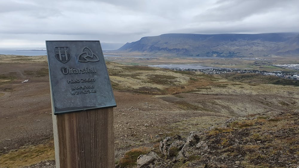
Úlfarsfell from Skarhólamýri
Starting from the parking lot and following the trail to the summit.
Hiking Easy
- Distance
- 3.3 km
- Ascent
- 213 m
- Descent
- 192 m
- Duration
- 1-2 hrs
- Low Point
- 88 m
- High Point
- 281 m
- Gradient
- 10˚

This small mountain is very popular for hiking with the locals. There are many trails up, but this trail goes from Mosfellsbær. The trail is very well maintained and easy to follow. The trail going down is not as clear, but it is possible to just take the same trail down.
- •
- •
Description
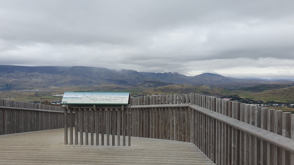
This is a small mountain, but the views from on top are great on a clear day.
Difficulty
Easy
Walking along a well-kept trail that’s mostly flat. No obstacles are present.
Medium Exposure

The trail contains some obstacles such as outcroppings and rock which could cause injury.
Remoteness

Close to help in case of emergency.
Best time to visit
Features
- Summit Hike
- Dog friendly
- Family friendly