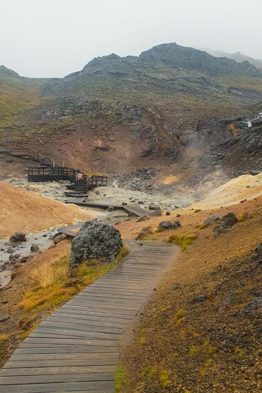
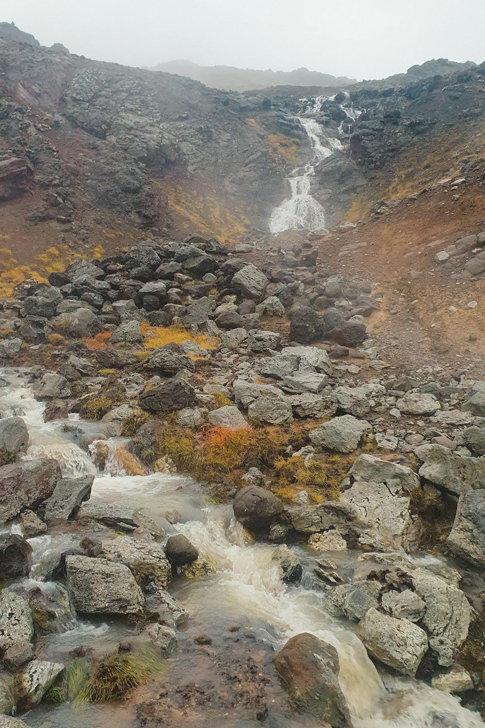
Hverafjall
A short hike up Hverafjall (means hot spring mountain) from Seltún. Not too challenging but can be very muddy.
Hiking Moderate
- Distance
- 1.4 km
- Ascent
- 117 m
- Descent
- 116 m
- Duration
- 0-1 hrs
- Low Point
- 175 m
- High Point
- 291 m
- Gradient
- 11˚

This is a popular hiking route which is generally considered to be moderate. It's remote, it features medium exposure and is typically done between May and October. From a low point of 175 m to the maximum altitude of 291 m, the route covers 1.4 km, 117 vertical metres of ascent and 116 vertical metres of descent.
- •
- •
- •
- •
- •
Description
A short hike up Hverafjall (means hot spring mountain) from Seltún. Not too challenging but can be very muddy.
Difficulty
Moderate
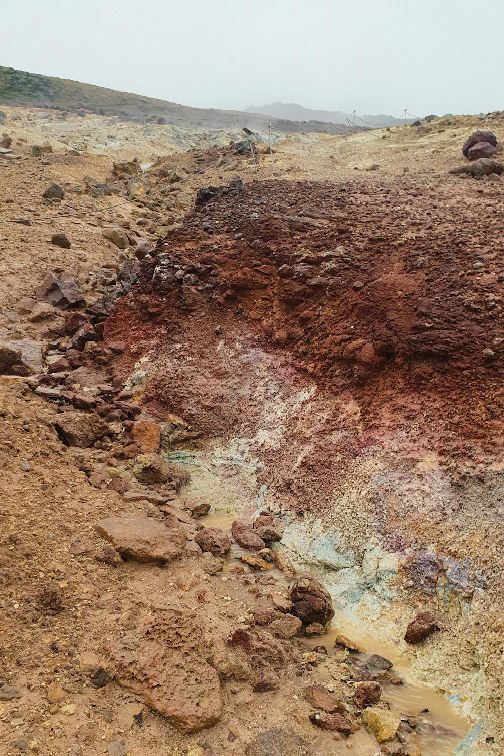
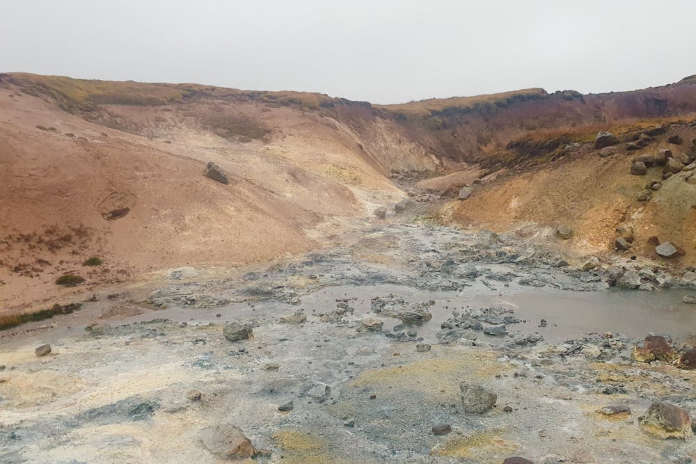
Hiking along trails with some uneven terrain and small hills. Small rocks and roots may be present.
Medium Exposure

The trail contains some obstacles such as outcroppings and rock which could cause injury.
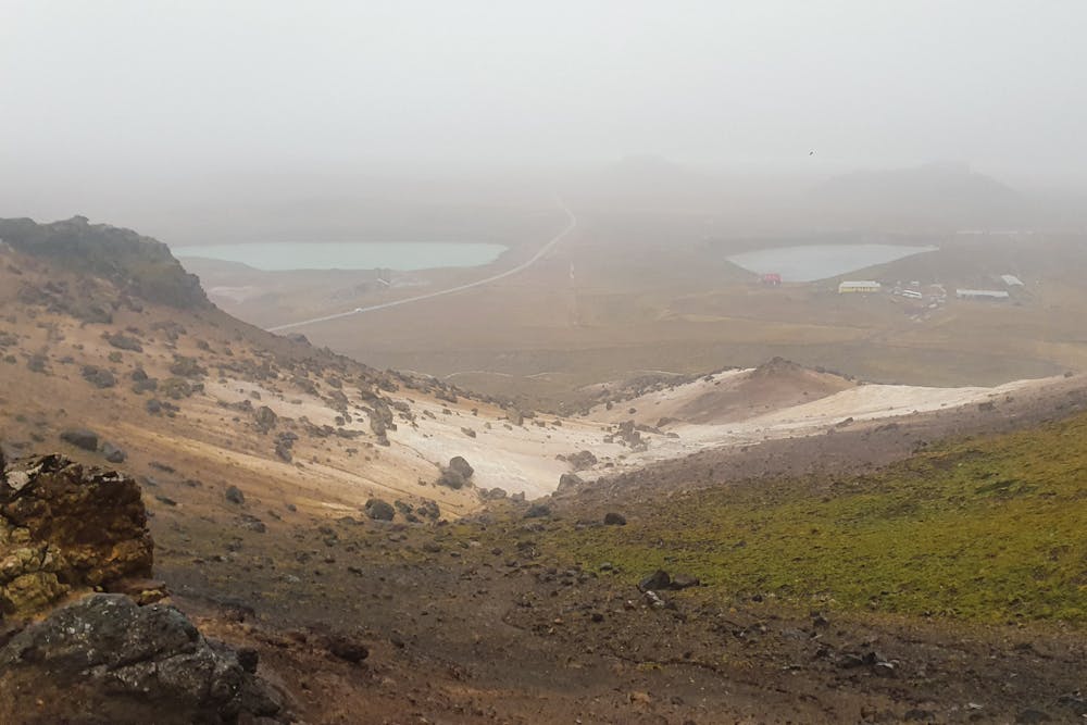
Remoteness
Away from help but easily accessed.
Best time to visit
Features
- Water features