5 routes · Freeride Skiing · Ski Touring
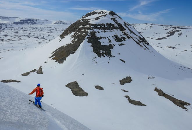
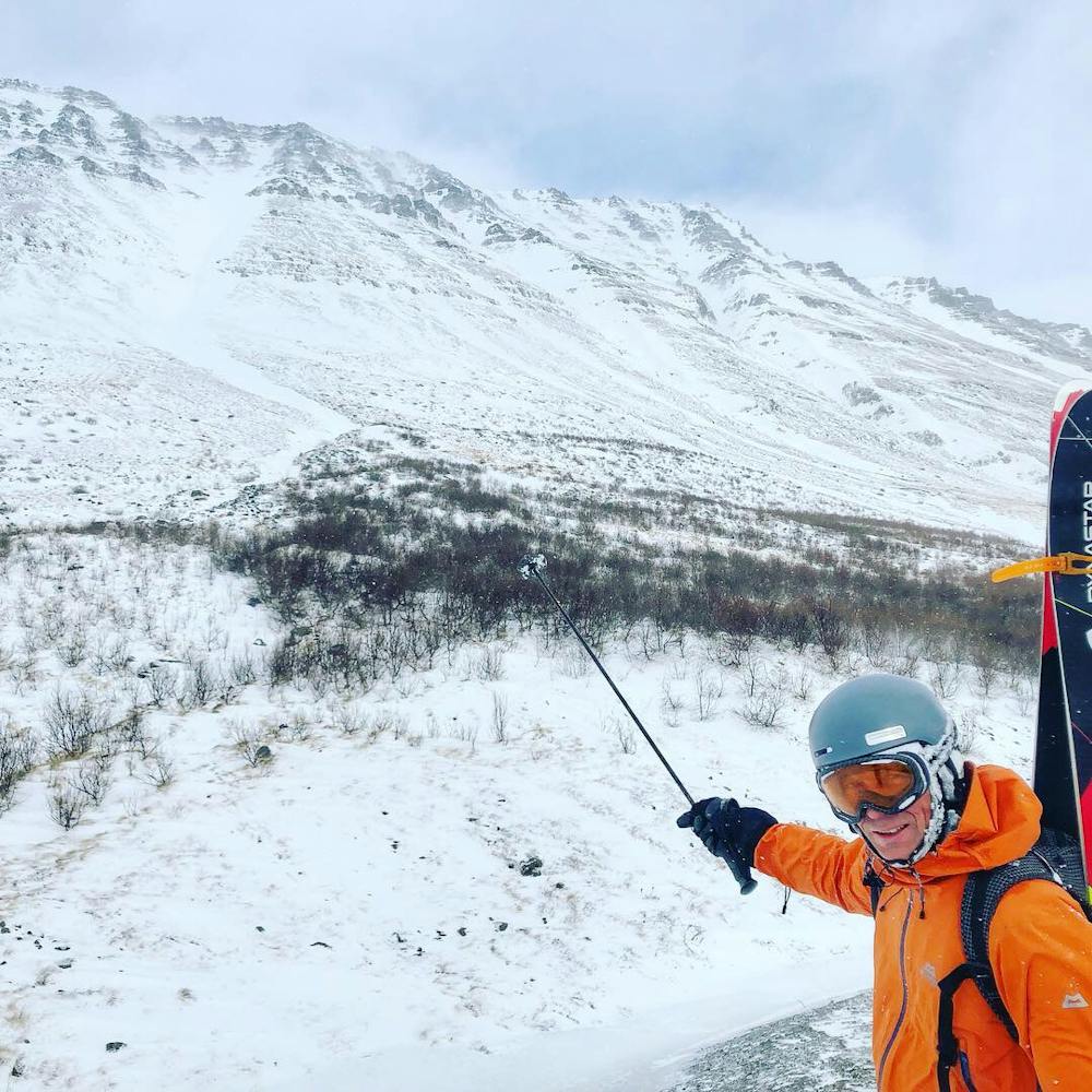
The striking and obvious lines above the road as you enter Isafjordur
Freeride Skiing Difficult

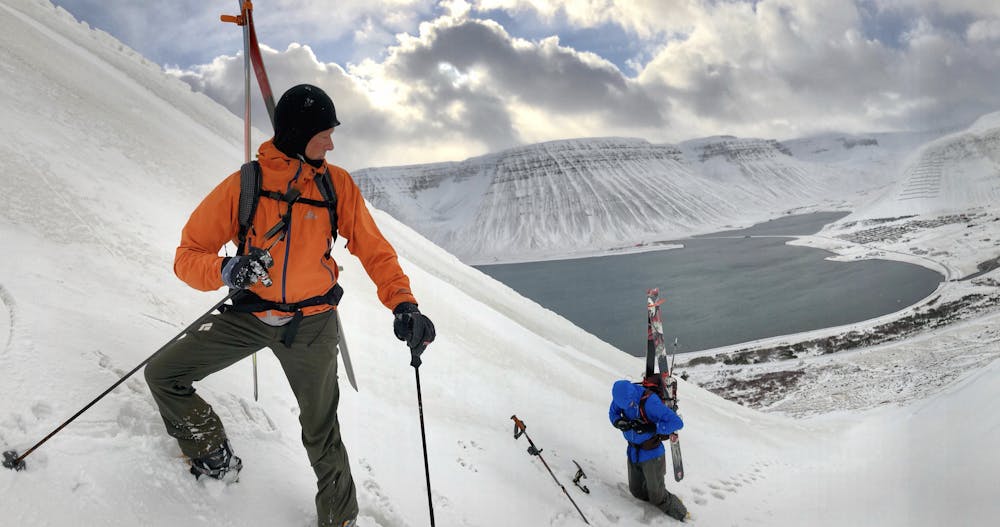
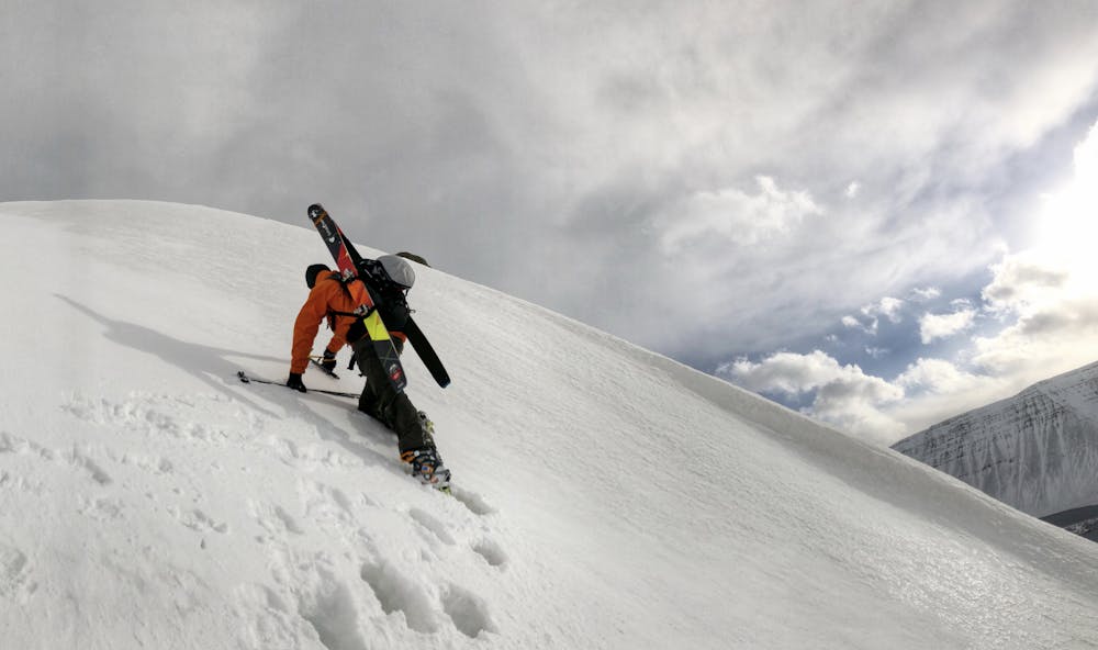
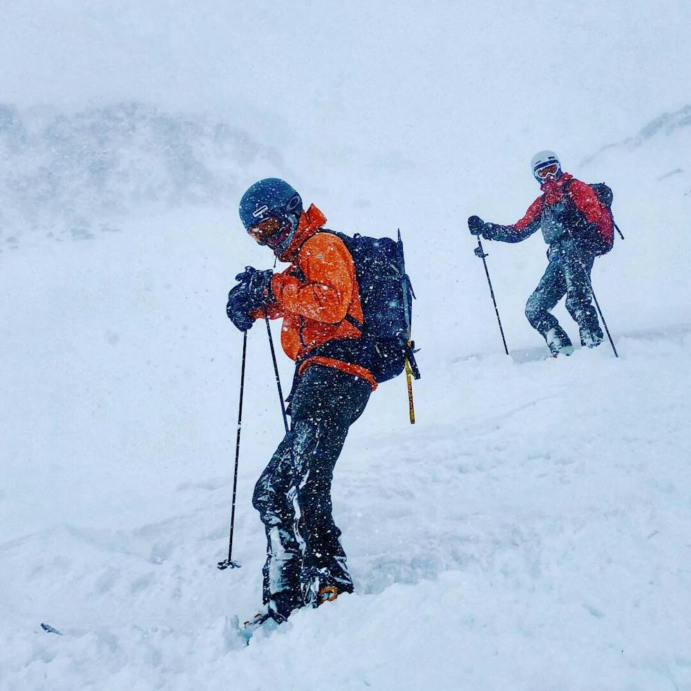
Easily accessed from the town of Isafjordur are three long and imposing couloirs over looking the town. The routes are all accessed easily from the road to the cross country ski area. The left most of the routes is described here. Park where the paved road ends and enter the drainage. Generally this line has wide areas to turn and is restricted in width only in its middle that pinches to 45 degree's for only a short section that can be easily side slipped. All three lines face south and can offer good spring snow late in the season.
Difficult
Serious gradient of 30-38 degrees where a real risk of slipping exists.

As well as the slope itself, there are some obstacles (such as rock outcrops) which could aggravate injury.

Close to help in case of emergency.
5 routes · Freeride Skiing · Ski Touring