Raigad to Torna
A Marathon of a Trek
Hiking Extreme
- Distance
- 37 km
- Ascent
- 2.4 km
- Descent
- 1.9 km
- Duration
- 1 day +
- Low Point
- 106 m
- High Point
- 1.4 km
- Gradient
- 22˚

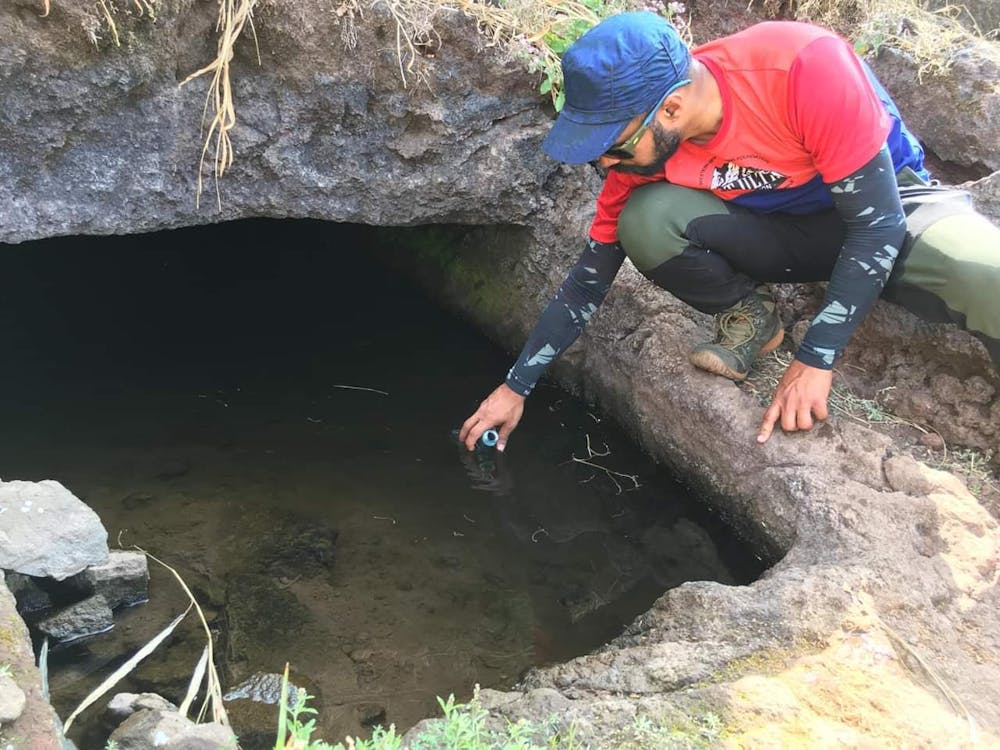
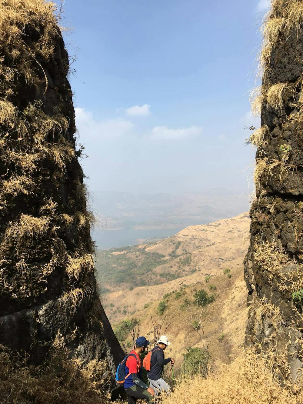
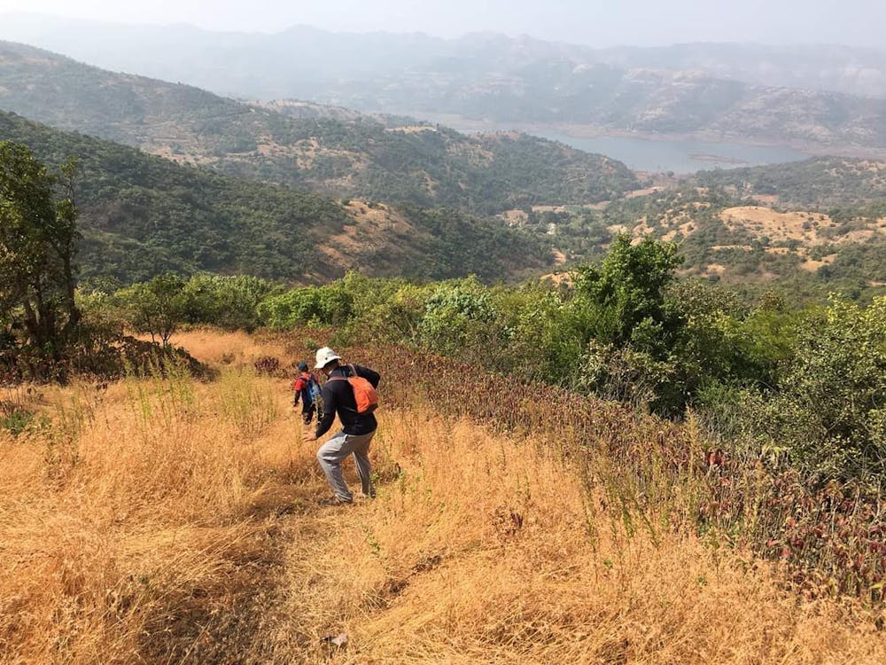
Exhaustive as the distance and elevation gain on this route.The route from Raigad hits almost to the plains in Konkan region of coastal Maharashtra before standing out tall with the 'Boryatachi Naal' crossing near famous thumb figure 'Lingana' rocky hill. The narrow couloir leading towards the exit on the plateau is steep,exposed and also very tricky navigating through the gpx file as the near vertical climbs on the route need to be figured out with a sharp route finding acumen. The exit to the plateau provides magnanimous views all round the area. The small and continuous small hillocks keep flocking on the way till a final descent towards Bhatti Village.Water and refreshments can be availed here before a steep final ascent on Fort Torna from 'Valanjai temple' ridge. Summers is extremely humid with scorching heat upto 40degrees and is best to avoid till the late of heavy rainfall season. Accompanying with someone who has been through crux of this route earlier will be a very strong recommendation in view of safety. Trail running in group can be be possible only if priorly familiar with the route and for beginner trekking folks a two day plan shall be divisible. If approached from the other way around from Torna fort the descend on to Bhatti Village shall pose some challenge as also the bigger version of it during the 'Boratyachi Nal' descend. An alternative 'Singapore Nal' which is a tad bit easier then the Boratyachi Nal can be an option to take the way down only if you have a company of previously wandered person in this region. The route,the forts and the area is a heritage and of historic significance marking the Capital Fort of Maratha Kingdom- Fort RAIGAD.
- •
- •
- •
Difficulty
Extreme
Scrambling up mountains and along technical trails with moderate fall exposure. Handholds are necessary to navigate the trail in its entirety, although they are not necessary at all times. Some obstacles can be very large and difficult to navigate, and the grades can often be near-vertical. The challenge of the trail and the steepness of the grade results in very strenuous hiking. Hikes of this difficulty blur the lines between "hiking" and "climbing".
Extreme Exposure

Some trail sections are extremely exposed where falling will almost certainly result in serious injury or death.
Remoteness

Away from help but easily accessed.
Best time to visit
Features
- Wildlife
- Historical
- Picturesque
- Summit Hike
- Wild flowers
- Water features
- Forestry or heavy vegetation