Bopdev Ghat to Katraj Ghat
A two way trail running route
Trail Running Moderate
- Distance
- 8 km
- Ascent
- 152 m
- Descent
- 250 m
- Duration
- 0-1 hrs
- Low Point
- 884 m
- High Point
- 996 m
- Gradient
- 8˚

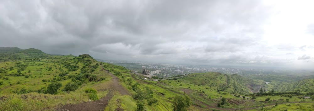
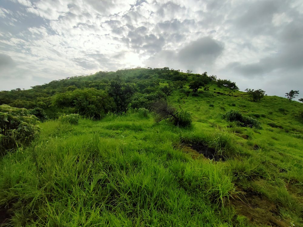
A view of Urban Pune settlement skyline for every season.A trail of villagers to cross ghats without traffic jams.Mornings and Evenings 2-3 hour round about run or walk in safe environment with full network connectivity. Katraj ghat exit has no refreshments or water availability to keep in mind.During rainy season July-Sep however you shall get streams along the way. Trekkers daring to go right from Bopdev to Sinhagad via Katraj ghat a soothing start for this leg of the 20km trek.
- •
- •
Difficulty
Moderate
Low Exposure

The path is on completely flat land and potential injury is limited to falling over.
Remoteness
Close to help in case of emergency.