Lonavala to Peth
Trail run from Tungarli lake near Lonavala to Ambivali village at base of Kothaligad
Trail Running Moderate
- Distance
- 49 km
- Ascent
- 1.3 km
- Descent
- 1.8 km
- Duration
- 7-8 hrs
- Low Point
- 142 m
- High Point
- 981 m
- Gradient
- 16˚

This is a popular trail running route which is generally considered to be moderate. It's remote, it features medium exposure and is typically done between November and February. From a low point of 142 m to the maximum altitude of 981 m, the route covers 49 km, 1306 vertical metres of ascent and 1814 vertical metres of descent.
- •
- •
- •
- •
- •
- •
- •
Description
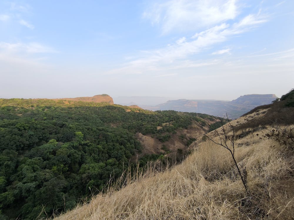
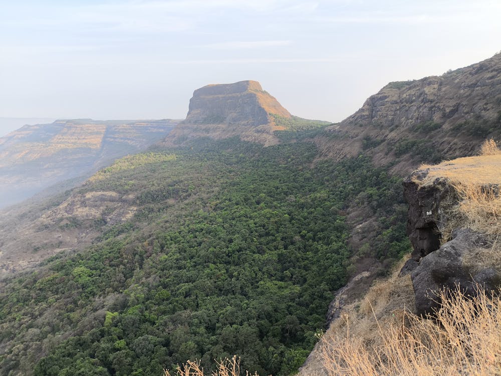
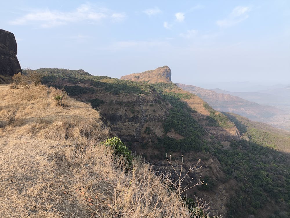
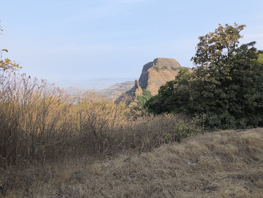
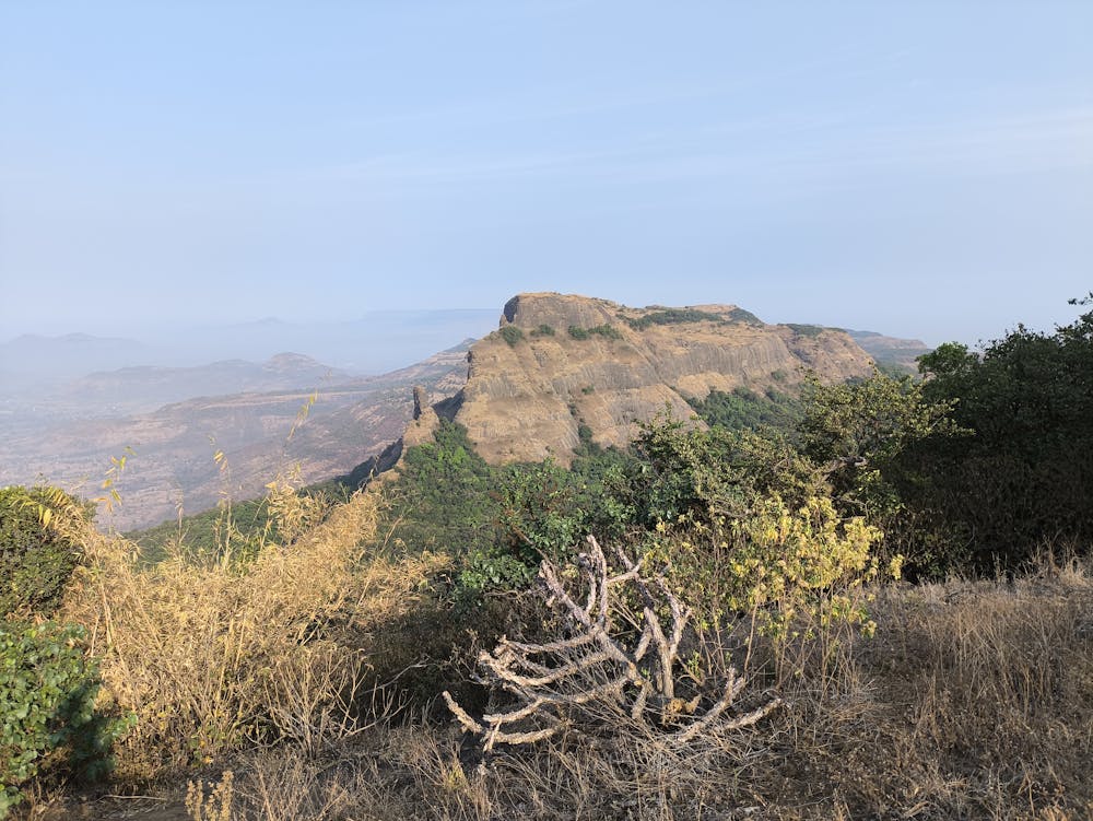
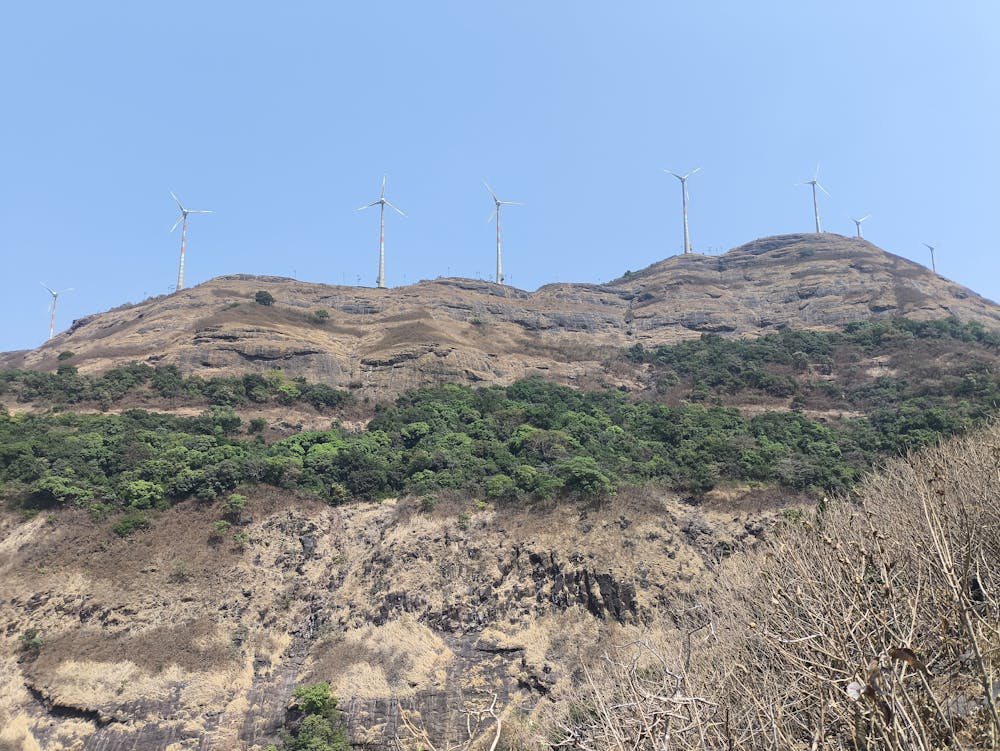
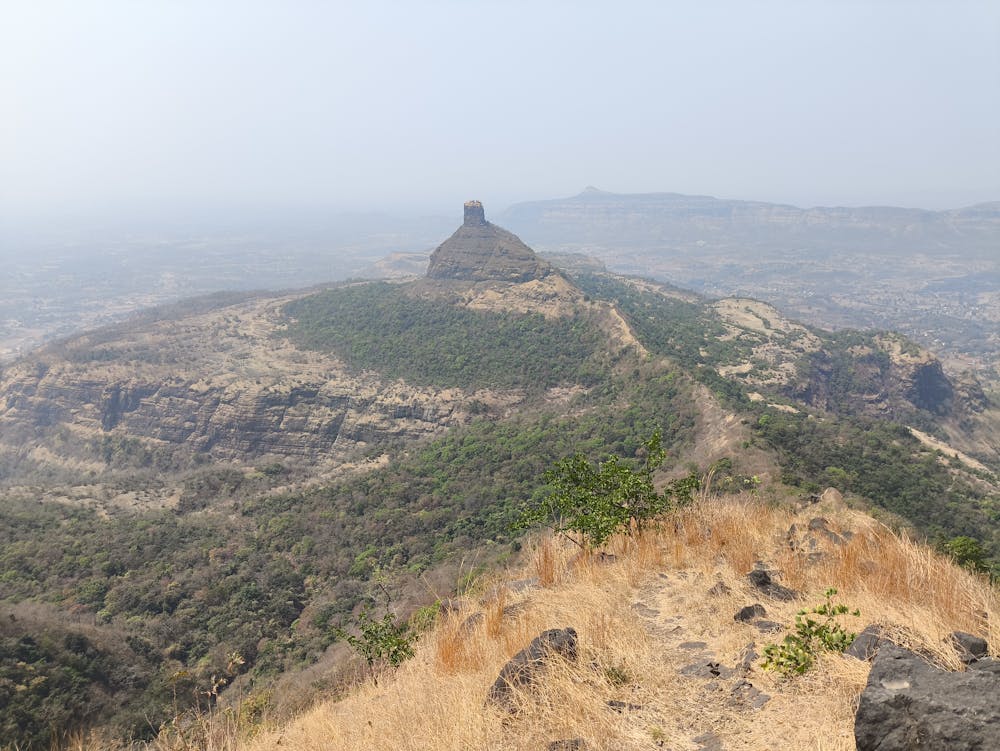
Largely part of Lobhi trail. Fantastic views in many places, and two long stretches of thick forest with lots of wildlife, if one is silent enough. Many variations also possible to exit earlier (or at different points) or continue further.
Difficulty
Moderate
Medium Exposure

The trail contains some obstacles such as outcroppings and rock which could cause injury.
Remoteness
Away from help but easily accessed.