Gidara Bugyal With Dayara Bugyal - Himalayan Dream Treks
Walk on the grandest meadow of India. Gidara Bugyal Trek with Dayara Bugyal.
Hiking Moderate
- Distance
- 28 km
- Ascent
- 3.4 km
- Descent
- 3.3 km
- Duration
- 1 day +
- Low Point
- 2.2 km
- High Point
- 4.2 km
- Gradient
- 29˚

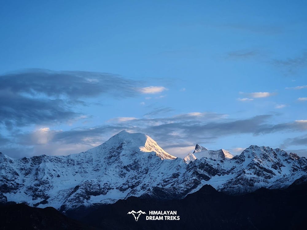
This is a popular hiking route which is generally considered to be moderate. It's very remote, it features high exposure and is typically done in May, June, August, September and October. From a low point of 2.2 km to the maximum altitude of 4.2 km, the route covers 28 km, 3397 vertical metres of ascent and 3256 vertical metres of descent.
- •
- •
- •
- •
- •
- •
Description
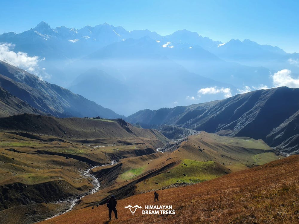
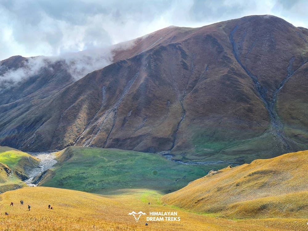
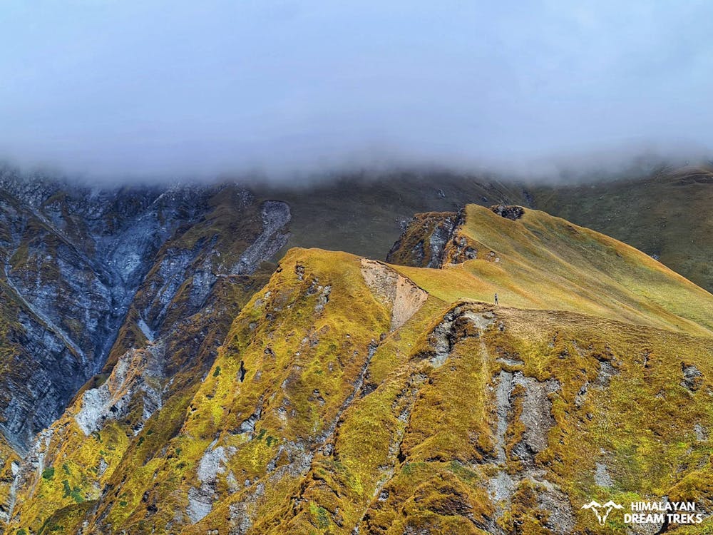
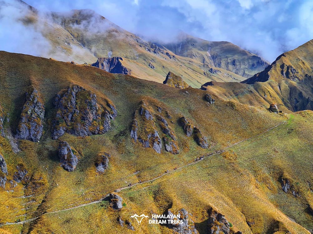
Gidara Bugyal is one of the Grandest meadow of our country. Walking is here no less than experiencing a heaven. We at Himalayan Dream Treks organise Gidara Bugyal with Dayara Bugyal trek.
Difficulty
Moderate
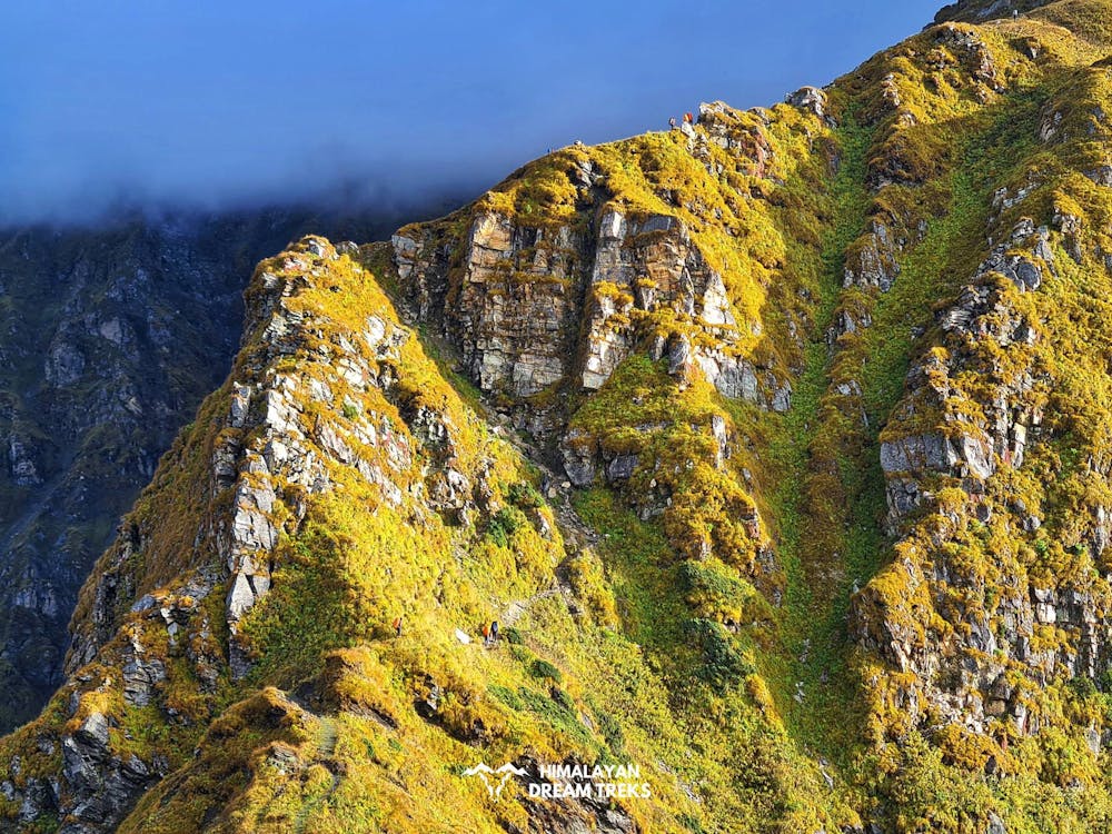
Hiking along trails with some uneven terrain and small hills. Small rocks and roots may be present.
High Exposure

Some trail sections have exposed ledges or steep ascents/descents where falling could cause serious injury.
Remoteness
Little chance of being seen or helped in case of an accident.
Best time to visit
Features
- Alpine
- Wildlife
- Picturesque
- Wild flowers
- Forestry or heavy vegetation