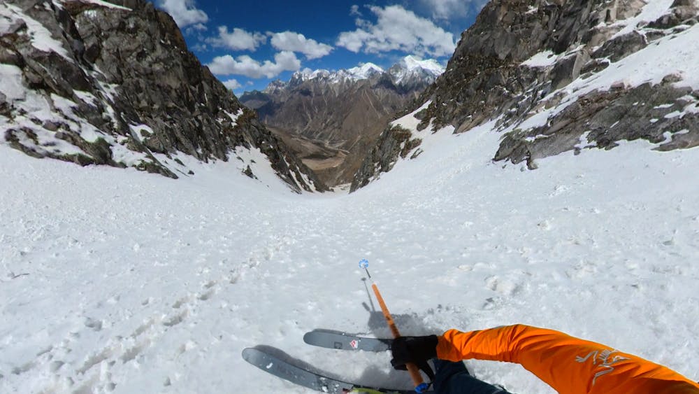
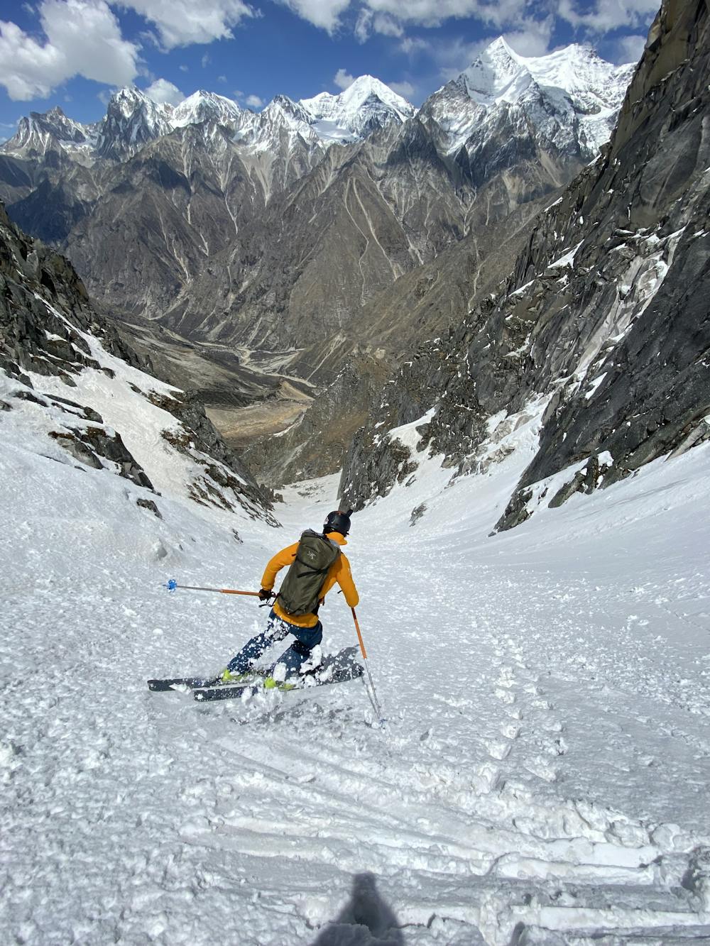
The Col Ski Line
A close patch of snow to the lower Bhrigupanth Glacier
Ski Touring Easy
- Distance
- 885 m
- Ascent
- 3 m
- Descent
- 548 m
- Duration
- 0-1 hrs
- Low Point
- 4.4 km
- High Point
- 4.9 km
- Gradient
- 50˚

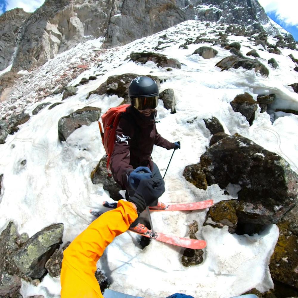
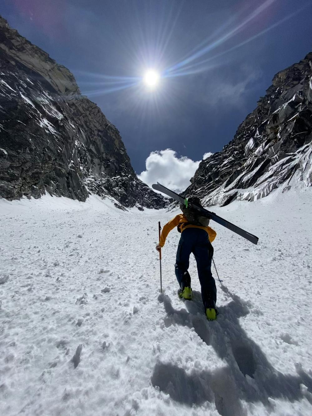
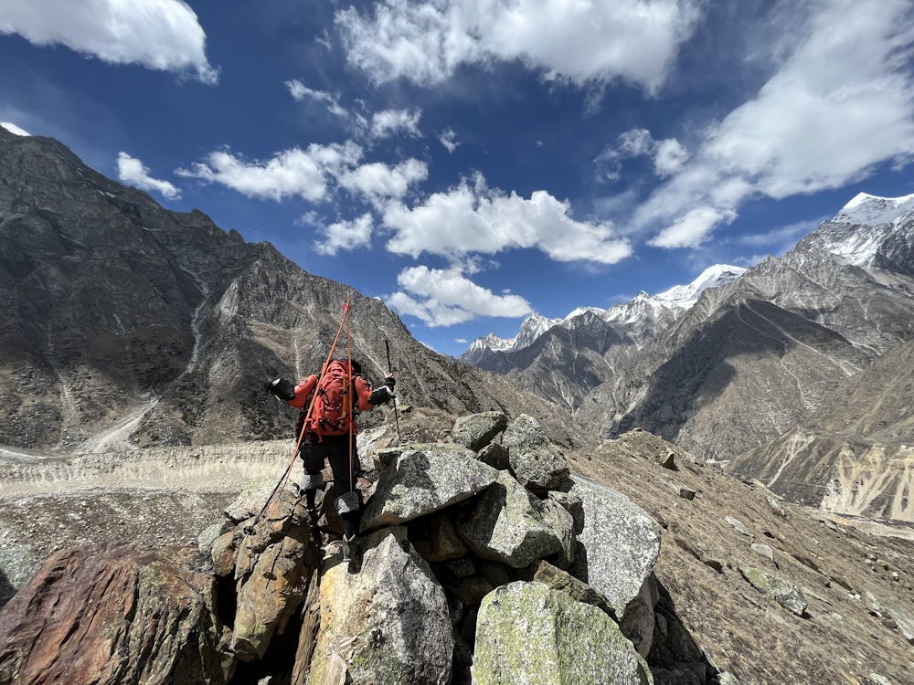
We had absolutely terrible conditions during our time in basecamp. Temperatures rarely fell below zero deg C and snow conditions were not conducive to climbing, let alone skiing. Despite that, we made our best effort to climb and ski the one ribbon of snow we could find - a discontinuous but well protected couloir on the south side of the glacier.
- •
- •
- •
- •
- •
Difficulty
Easy
Wide gentle slopes at around 20 degrees or less.
Low Exposure (E1)

Exposure is limited to that of the slope itself. Getting hurt is still likely if the slope is steep and/or the snow is hard.
Remoteness

Little chance of being seen or helped in case of an accident.
Best time to visit
Features
- Alpine
- Couloir
- Ski Mountaineering
Equipment required
- Ice axe
- Crampons