Uttarkashi Trail Run
A nice path to stretch the legs en-route to Gangotri
Trail Running Easy
- Distance
- 6.9 km
- Ascent
- 250 m
- Descent
- 252 m
- Duration
- 1-2 hrs
- Low Point
- 1.1 km
- High Point
- 1.1 km
- Gradient
- 6˚

This is a popular trail running route which is generally considered to be easy. It's not remote, it features low exposure and is typically done between March and December. From a low point of 1.1 km to the maximum altitude of 1.1 km, the route covers 6.9 km, 250 vertical metres of ascent and 252 vertical metres of descent.
Description
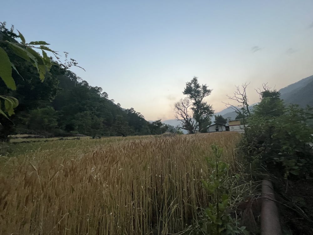
Uttarkashi is the biggest town on the road to Gangotri and a good place to stop for a night en-route. Cross one of the bridges to the other side of the Bhagirathi River to get on quieter roads and paths. This one leads to a nice temple in some farmer's fields!
Difficulty
Easy
Low Exposure

The path is on completely flat land and potential injury is limited to falling over.
Remoteness
Close to help in case of emergency.