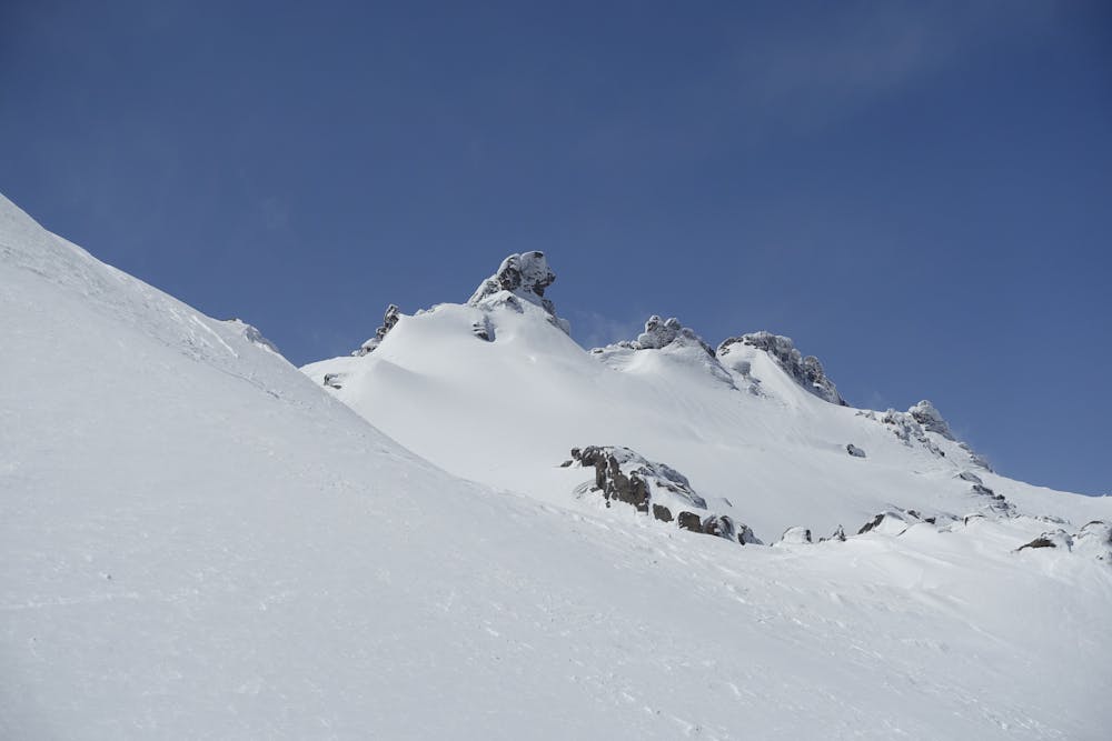
Alvand and Kalgh-laneh
Alvand is the most famous peak in Hamedan.
Alpine Climbing Moderate
- Distance
- 5.7 km
- Ascent
- 1.1 km
- Descent
- 107 m
- Low Point
- 2.2 km
- High Point
- 3.3 km
- Gradient
- 23˚

This is a popular alpine climbing route which is generally considered to be moderate. It's remote, it features medium exposure and is typically done all year round. From a low point of 2.2 km to the maximum altitude of 3.3 km, the route covers 5.7 km, 1108 vertical metres of ascent and 107 vertical metres of descent. You'll need ice axe and bivy kit to complete it safely.
Description
Alvand is not the heights mountains in Hamedan, but it is the most famous one. There are 4 huts on the way, Plenty of water on the way all the way to Kalgh-laneh.
Difficulty
Moderate
May involve slightly more complex glacier hikes, easy but possibly long rock ridges and steep snow up to 45 degrees. Equivalent to PD, PD+
Medium Exposure

The route features some exposed and/or difficult to protect sections.
Remoteness
Away from help but easily accessed.
Best time to visit
Equipment required
- Ice axe
- Bivy Kit