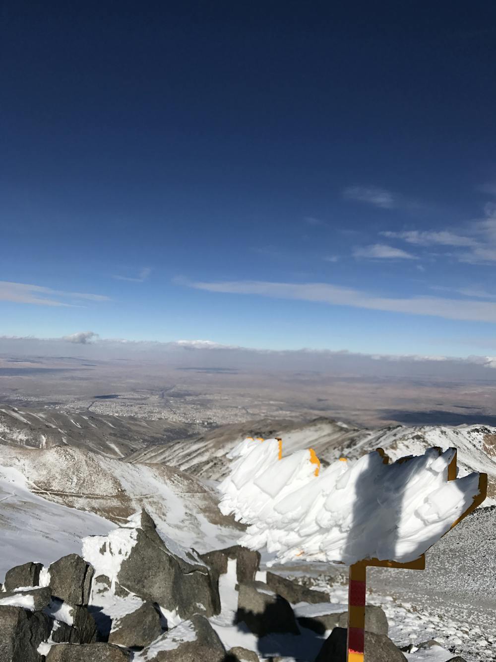
Yakhchal
Mount Yakhchal is the second heights peak in Hamedan
Hiking Moderate
- Distance
- 9.7 km
- Ascent
- 1.4 km
- Descent
- 26 m
- Duration
- 4-5 hrs
- Low Point
- 2.2 km
- High Point
- 3.6 km
- Gradient
- 20˚

This is a popular hiking route which is generally considered to be moderate. It's remote, it features medium exposure and is typically done all year round. From a low point of 2.2 km to the maximum altitude of 3.6 km, the route covers 9.7 km, 1412 vertical metres of ascent and 26 vertical metres of descent.
Description
Yakhchal can be accessed for Dereh or Seken. It can be climbed all seasons. There is one hut on the north ridge, and from Dareh, there is Eizady shelter. Water is available all year round.
Difficulty
Moderate
Hiking along trails with some uneven terrain and small hills. Small rocks and roots may be present.
Medium Exposure

The trail contains some obstacles such as outcroppings and rock which could cause injury.
Remoteness
Away from help but easily accessed.
Best time to visit
Features
- Alpine
- Summit Hike
- Dog friendly
- Water features
- Family friendly