2 Valley Hike to Piche Bon
A very accessible, super beautiful day hike in the Alamut Valley.
Also in Mazandaran, Iran
Hiking Difficult
- Distance
- 12 km
- Ascent
- 1.4 km
- Descent
- 526 m
- Duration
- 4-5 hrs
- Low Point
- 1.8 km
- High Point
- 2.8 km
- Gradient
- 16˚

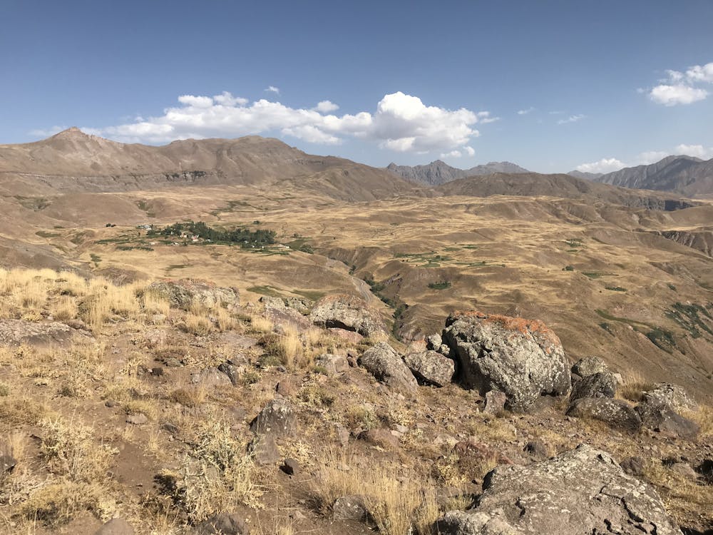
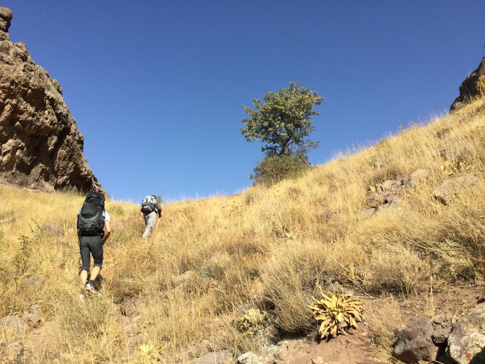
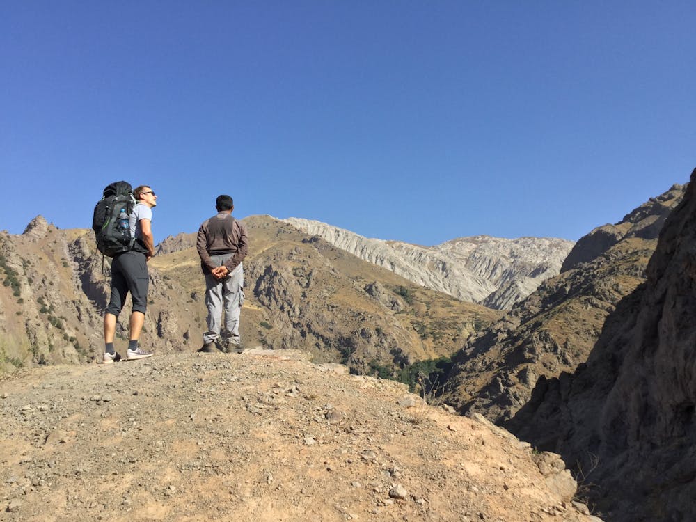
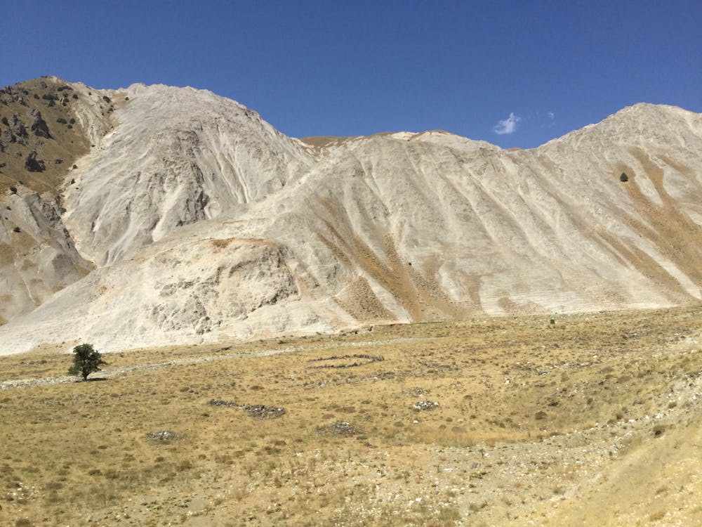
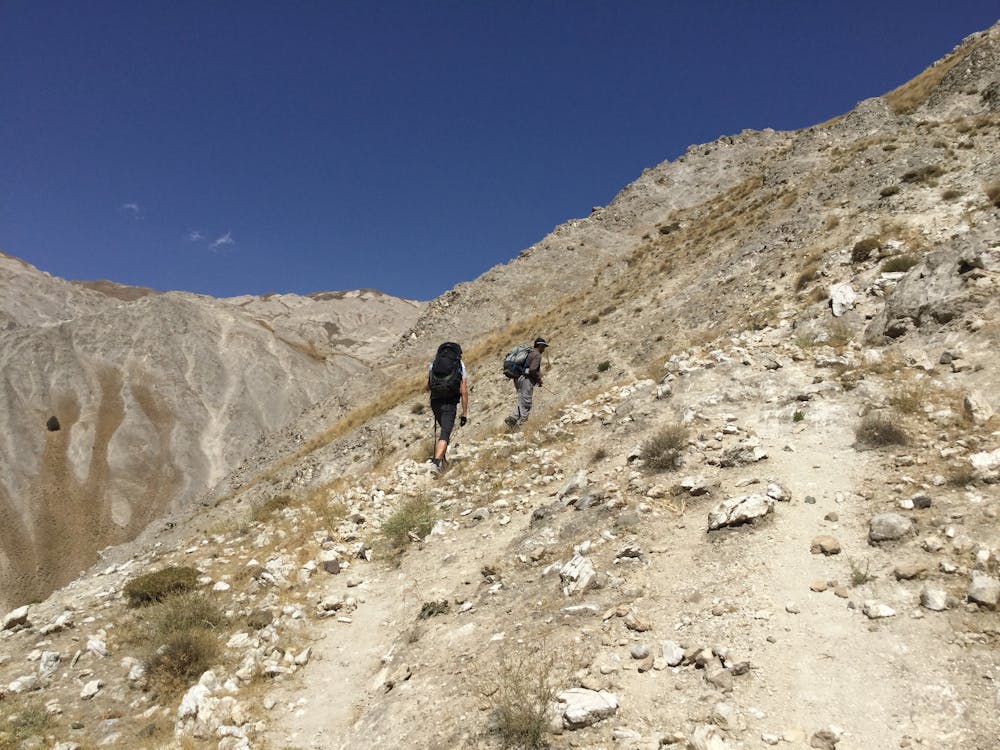
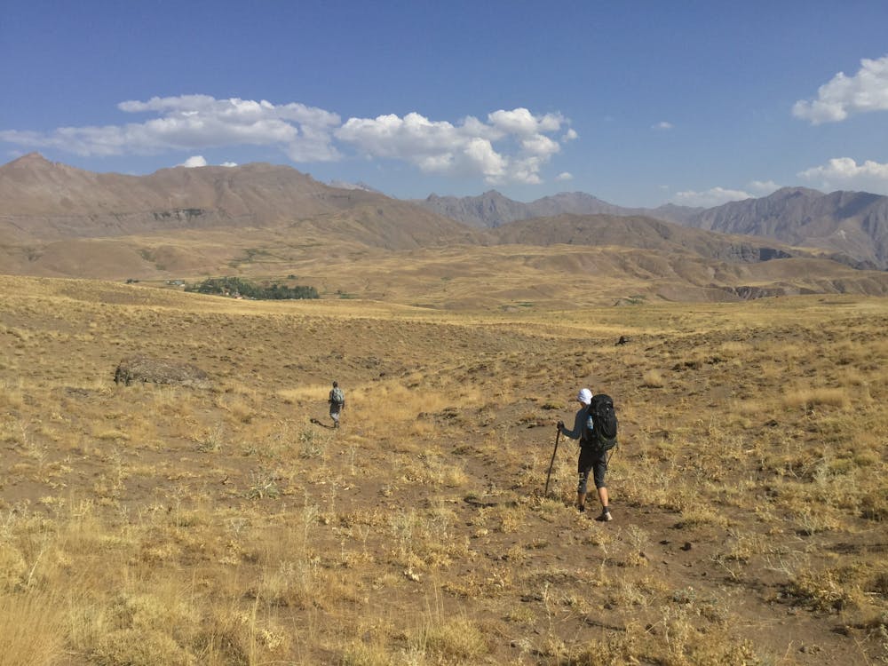
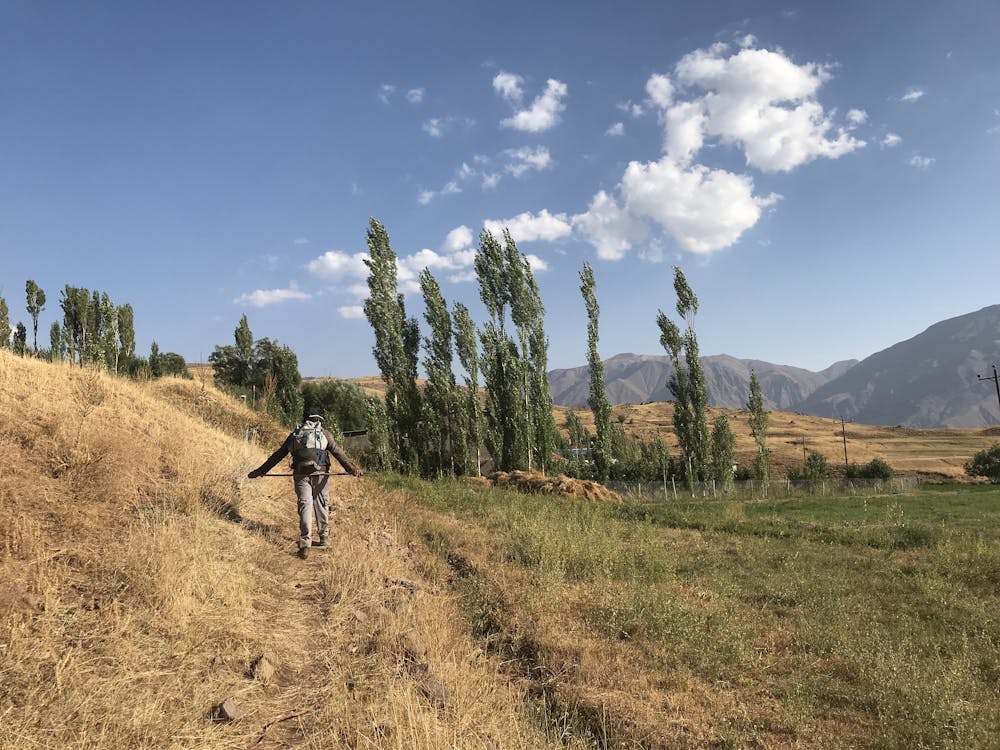
If you visit Teheran, don't think twice, make your way to Alamut valley, and get out there for some of the most epic hiking Iran has to offer! While most people will hike along the road up to Piche Bon, there is most beautiful variants between Garmarud and Piche Bon, which take you to remote valleys with amazing geological formations, hot springs, while offering breathtaking views of the impressive Caspian mountain range.
- •
- •
- •
- •
- •
- •
- •
- •
- •
Description
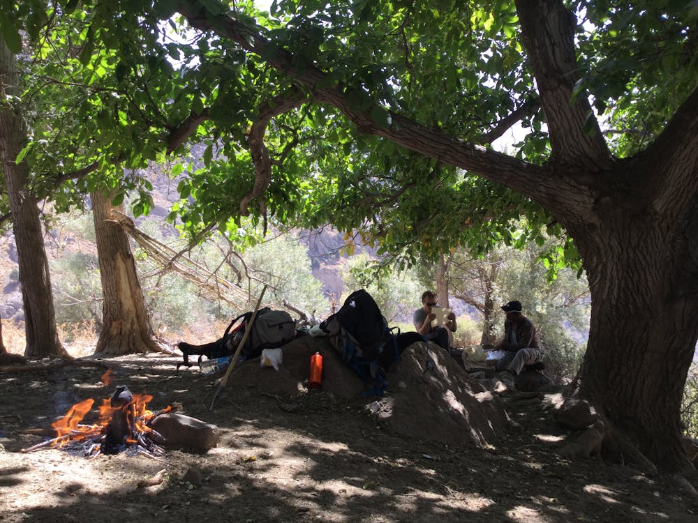
While you could do the variant suggested here by yourself, and as a 1 day hike, it's highly recommended to organize a local guide in Garmarud. There is a lot to learn about the Iranian flora, fauna and culture, and the hike is not even half as fun if you don't dive into the local culture and learn more about this beautiful mountain region. A second very good reason to take a guide is the fact you'll be in much safer hands when it comes to judging the condition of the trail, which can vary heavily based on seasonality and weather. And third, you'll have a hard time finding drinking water on the way without somebody with deep local knowledge!
In any case, make sure that you wear very good shoes in this terrain, and always have enough water with you!
If you are already hiking to Piche Bon, consider a through-hike towards the Caspian Sea, take a cab to Gilebom Lodge - https://blog.persiaport.com/en/5-unforgettable-ecolodge-experiences-in-iran, where you'll be welcomed by the most amazing hosts, and can treat yourself with amazing food, in a tiny paradise, next to the Gilean Jungle.
Difficulty
Difficult
Hiking trails where obstacles such as rocks or roots are prevalent. Some obstacles can require care to step over or around. At times, the trail can be worn and eroded. The grade of the trail is generally quite steep, and can often lead to strenuous hiking.
Low Exposure

The path is on completely flat land and potential injury is limited to falling over.
Remoteness

Away from help but easily accessed.
Features
- Alpine
- Picturesque
- Water features