Gajere Peak 3350
Short climb and long slope
Ski Touring Moderate
- Distance
- 4.4 km
- Ascent
- 54 m
- Descent
- 842 m
- Duration
- 1-2 hrs
- Low Point
- 2.5 km
- High Point
- 3.3 km
- Gradient
- 32˚

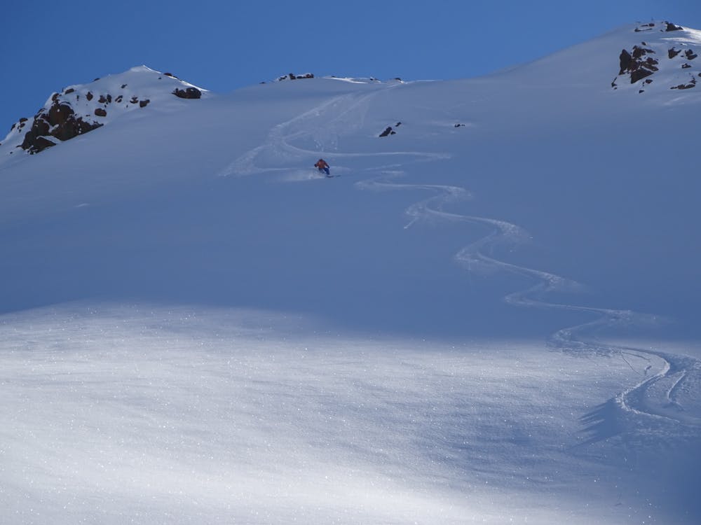
This is a popular ski touring route which is generally considered to be moderate. It's not remote, it features medium exposure (e2) and is typically done between January and April. From a low point of 2.5 km to the maximum altitude of 3.3 km, the route covers 4.4 km, 54 vertical metres of ascent and 842 vertical metres of descent. It's graded 2.2 and Labande grade 2. You'll need skins to complete it safely.
Description
Dizin Ski resort. By the chairlift climb to Gajere Peak in 1 hour. Take the direct line from the summit 35° to the private resort Gajere
Difficulty
Moderate
Slopes become slightly steeper at around 25-30 degrees.
Medium Exposure (E2)

As well as the slope itself, there are some obstacles (such as rock outcrops) which could aggravate injury.
Remoteness

Close to help in case of emergency.
Best time to visit
Equipment required
- Skins