Ballycuggeran Loop
County Clare
Beautiful looped walking trail with panoramic views of Lough Derg
Hiking Moderate
- Distance
- 7.1 km
- Ascent
- 260 m
- Descent
- 260 m
- Duration
- 1-2 hrs
- Low Point
- 34 m
- High Point
- 284 m
- Gradient
- 6˚

This is a popular hiking route which is generally considered to be moderate. It's not remote, it features medium exposure and is typically done all year round. From a low point of 34 m to the maximum altitude of 284 m, the route covers 7.1 km, 260 vertical metres of ascent and 260 vertical metres of descent.
- •
- •
Description
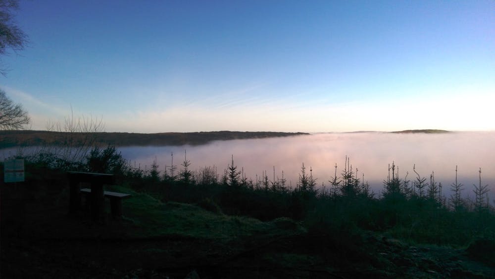
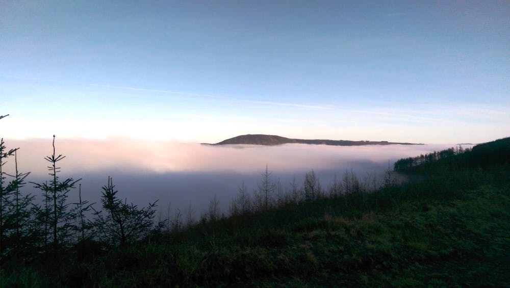
Ballycuggeran Loop Walk overlooks Lough Derg, the Annacarriga valley and the hills that stretch from Caherhurley to Ogonnelloe.
Difficulty
Moderate
Hiking along trails with some uneven terrain and small hills. Small rocks and roots may be present.
Medium Exposure

The trail contains some obstacles such as outcroppings and rock which could cause injury.
Remoteness

Close to help in case of emergency.
Best time to visit
Features
- Wildlife
- Picturesque
- Summit Hike
- Dog friendly
- Family friendly
- Forestry or heavy vegetation