Burren Way
County Clare
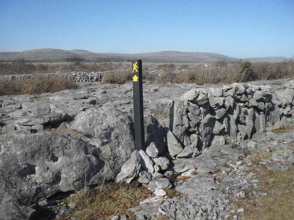
The Burren Way is a 123km walking trail in the North West corner of County Clare. The trail is marked in both directions and you can start in Lahinch or Corofin or from one of the spurs in Ballyvaughan or Tubber.
Hiking Difficult
- Distance
- 184 km
- Ascent
- 3.1 km
- Descent
- 3.1 km
- Duration
- 1 day +
- Low Point
- 0 m
- High Point
- 330 m
- Gradient
- 6˚

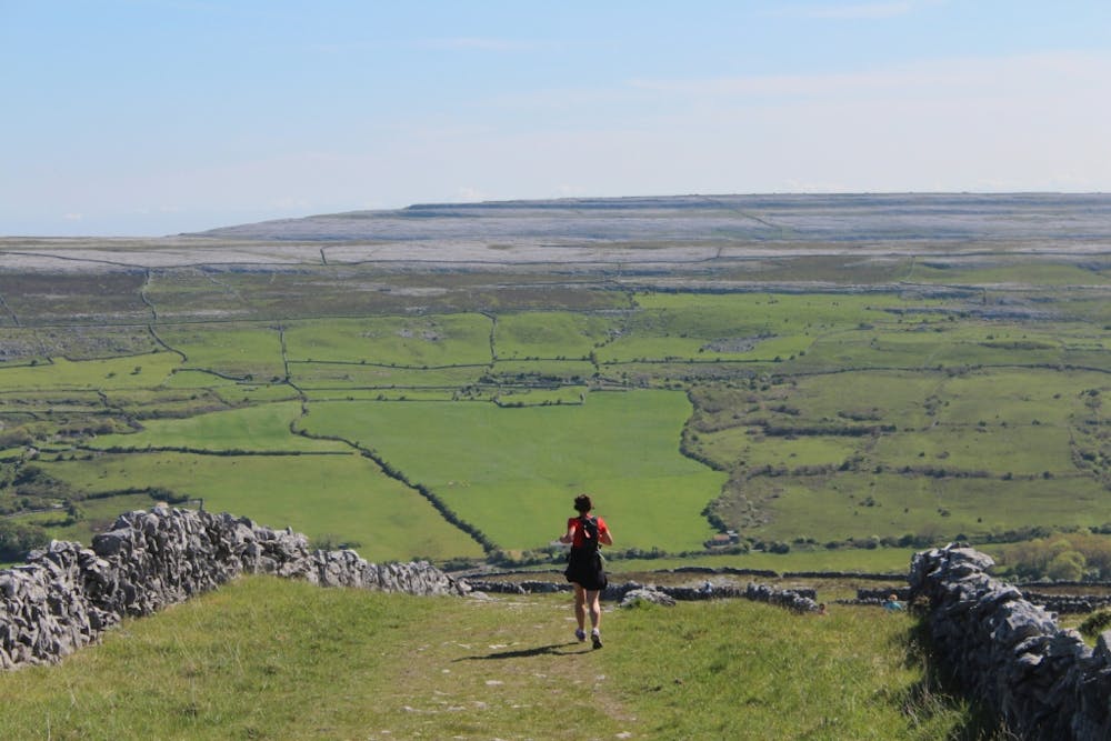
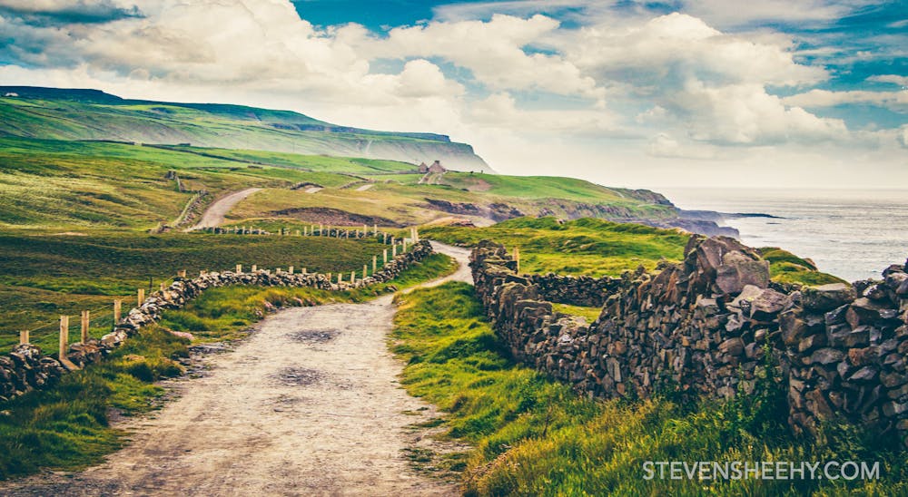
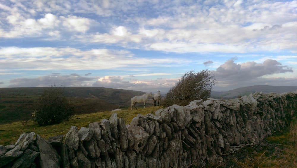
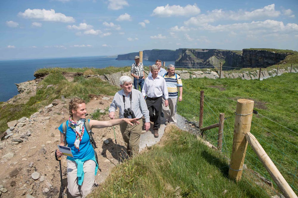
The Barony of the Burren forms the northern part of County Clare, overlooking Galway Bay and the Atlantic Ocean. The word Burren comes from Boireann, or stony district, and refers to the 130 square kilometres of spectacular terraced carboniferous limestone hills and valleys that characterise the area. The highest hill, Slieve Elva is a mere 344 metres above sea level, but the south-western end of the Burren bedrock drops into the sea at the Cliffs of Moher which rear more than 200 metres vertically out of the sea. Added to these surroundings are hundreds of miles of rambling stone field walls and a unique density of well-preserved monuments and buildings from the Neolithic to the early Christian period, and a rich treasury of rare wild flowers. The Burren Way is a 123km walking route that takes in the best of what the Burren area has to offer, from the coast at Doolin to majestic wild-flower-decorated limestone terraces and from the remains left by the Neolithic inhabitants of the Burren to the rich heritage of early Christian churches and sites. The long views from the top of Mullaghmore, one of the easternmost Burren hills, are particularly spectacular in good weather. Terrain consists mainly of quiet tarmac roads, old green roads, ancient cattle droving roads, paths and forestry tracks, but there are also some stretches on busy roads. There are a few short steep climbs involved. Overnight accommodation options are very good in the area, and there are public transport links to some of the main centres on the route. Walkers may want in particular to linger in the village of Doolin, a mecca for traditional musicians from all over the world.
- •
- •
- •
- •
- •
Difficulty
Difficult
Hiking trails where obstacles such as rocks or roots are prevalent. Some obstacles can require care to step over or around. At times, the trail can be worn and eroded. The grade of the trail is generally quite steep, and can often lead to strenuous hiking.
Extreme Exposure

Some trail sections are extremely exposed where falling will almost certainly result in serious injury or death.
Remoteness

Away from help but easily accessed.
Best time to visit
Features
- Wildlife
- Picturesque
- Wild flowers