Killavullen-Mallow
Un giro perfetto per una giornata intensa, attraversando i boschi e la campagna che si stendono ai piedi del Corran
Hiking Moderate
- Distance
- 24 km
- Ascent
- 684 m
- Descent
- 666 m
- Duration
- 5-6 hrs
- Low Point
- 41 m
- High Point
- 401 m
- Gradient
- 7˚

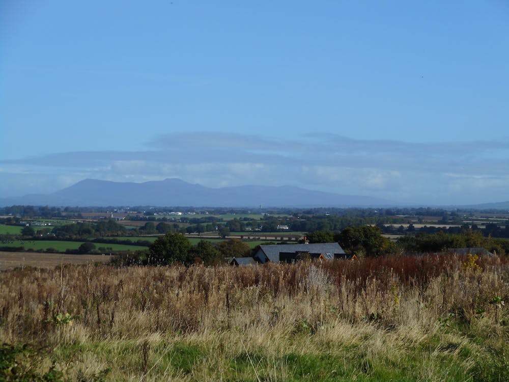
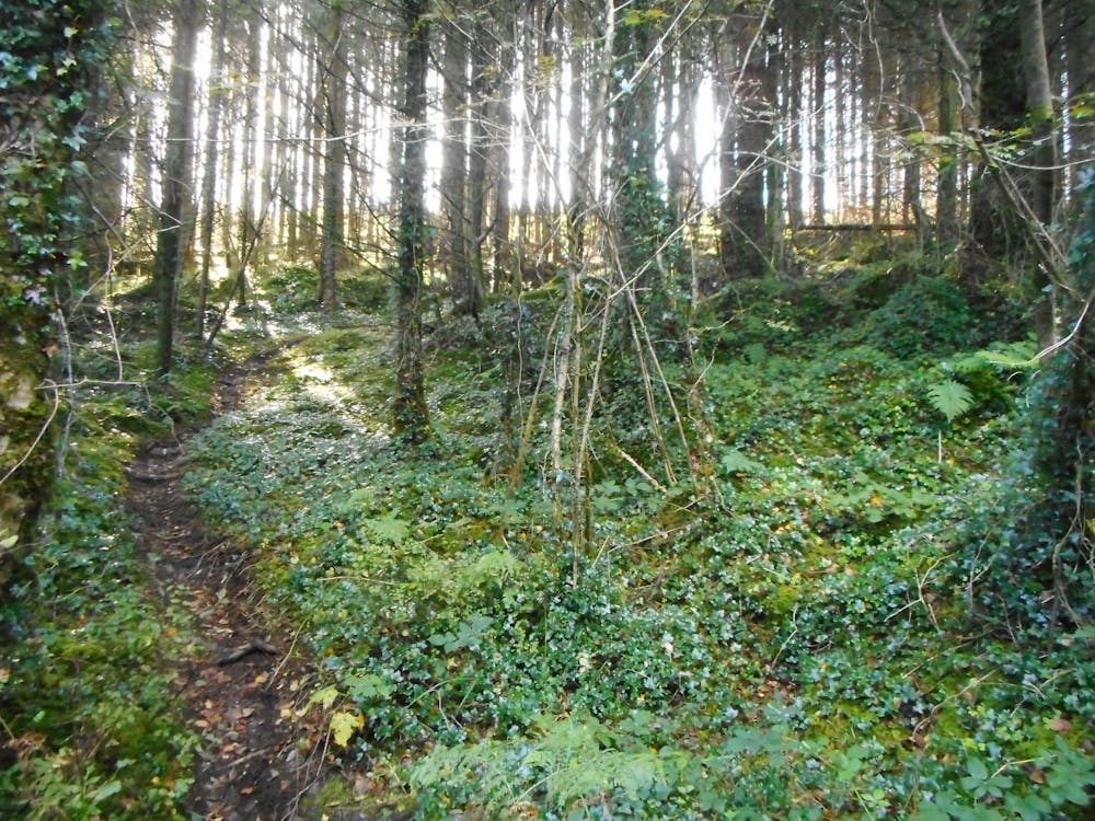
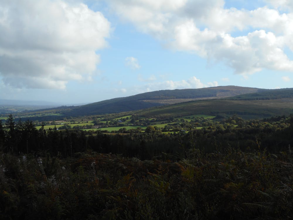
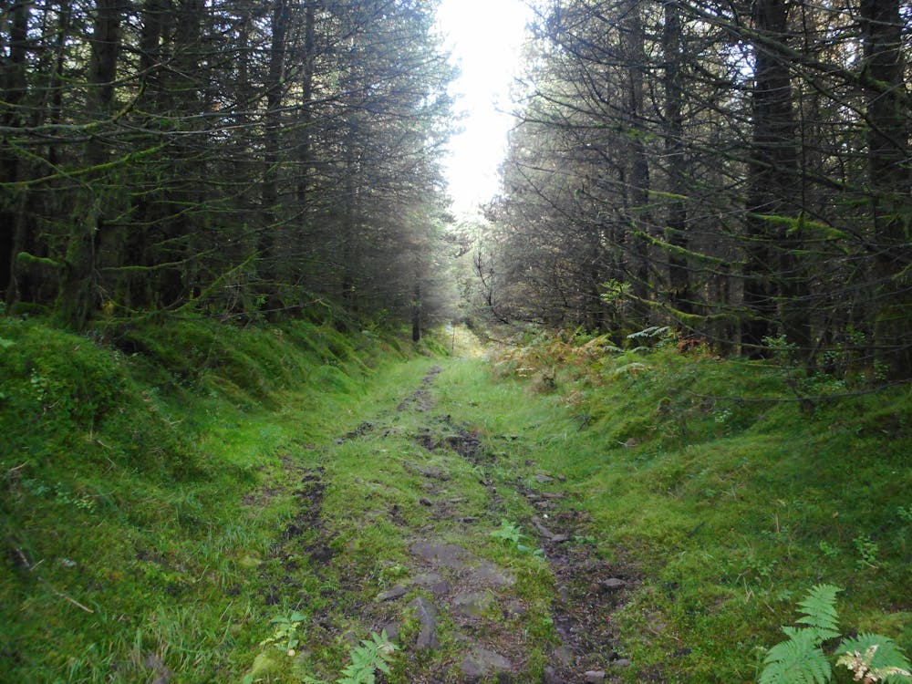
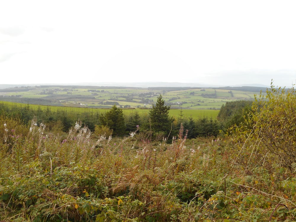
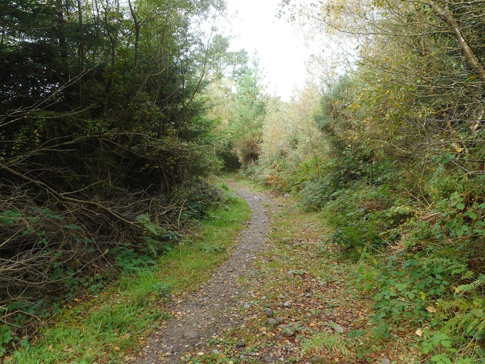
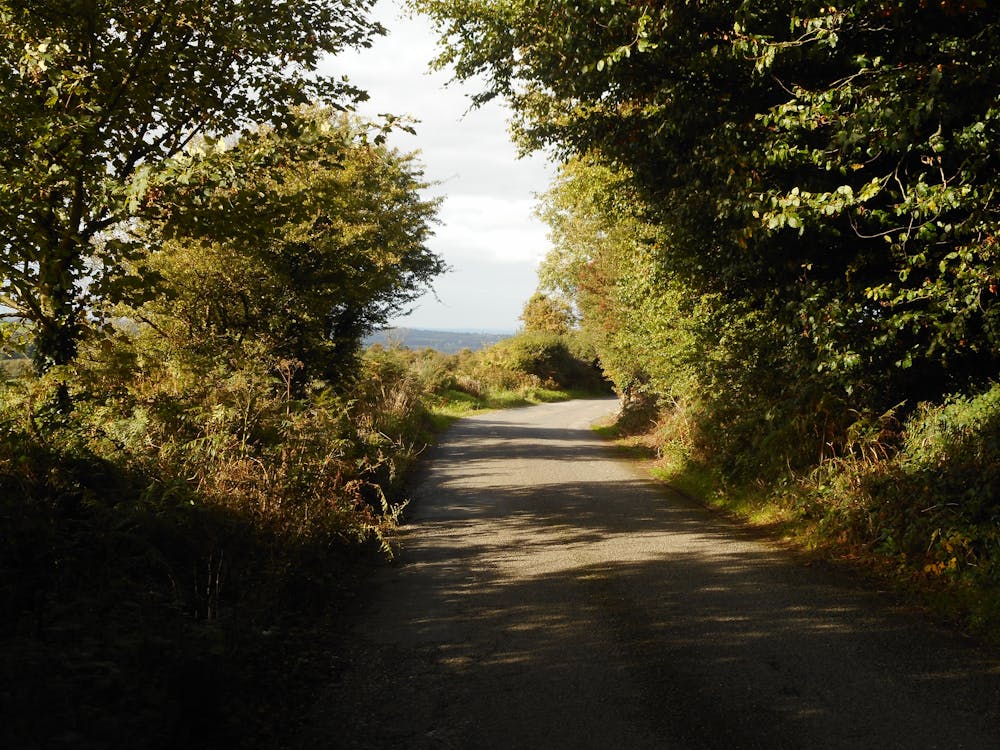
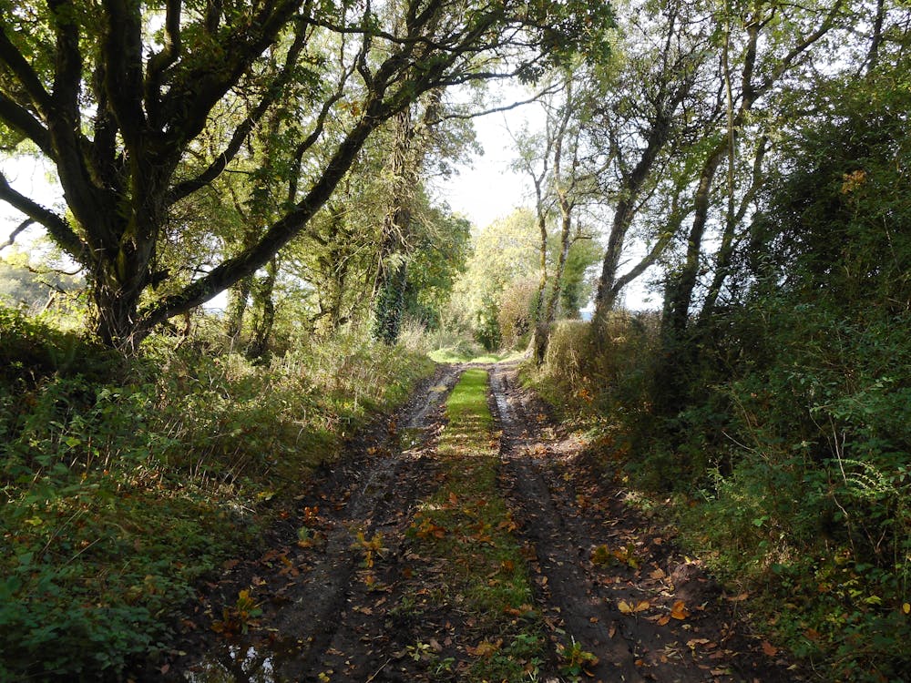
Un'escursione che, nonostante la sua lunghezza, è nel complesso abbastanza facile. Si inizia salendo lungo le pendici del Corran, facendo il giro della collina e salendo in cima dal lato opposto rispetto a Killavullen. Da qui, scendendo, si incontra la Blackwater way, che, attraversando boschi, campi e strade forestali, arriva fino a Mallow.
- •
- •
- •
- •
- •
- •
- •
- •
Difficulty
Moderate
Hiking along trails with some uneven terrain and small hills. Small rocks and roots may be present.
Medium Exposure

The trail contains some obstacles such as outcroppings and rock which could cause injury.
Remoteness

Close to help in case of emergency.
Best time to visit
Features
- Picturesque
- Water features
- Forestry or heavy vegetation