Mitchelstown-Fermoy
Da Mitchelstown a Farmoy sulla Blackwater way, passando per le cascate di Ballard
Hiking Moderate
- Distance
- 27 km
- Ascent
- 433 m
- Descent
- 516 m
- Duration
- 6-7 hrs
- Low Point
- 22 m
- High Point
- 284 m
- Gradient
- 6˚

This is a popular hiking route which is generally considered to be moderate. It's remote, it features low exposure and is typically done between March and December. From a low point of 22 m to the maximum altitude of 284 m, the route covers 27 km, 433 vertical metres of ascent and 516 vertical metres of descent.
- •
- •
- •
- •
- •
- •
Description
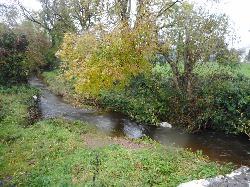
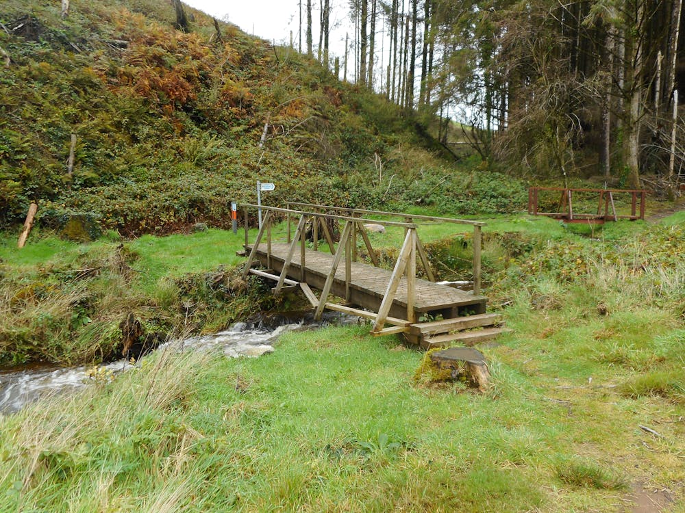
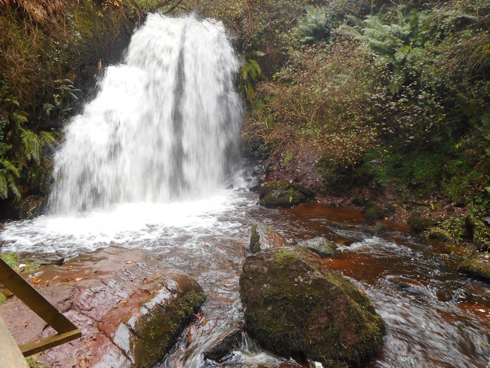
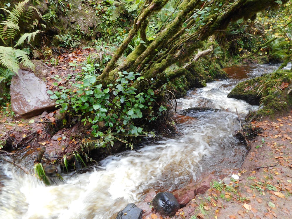
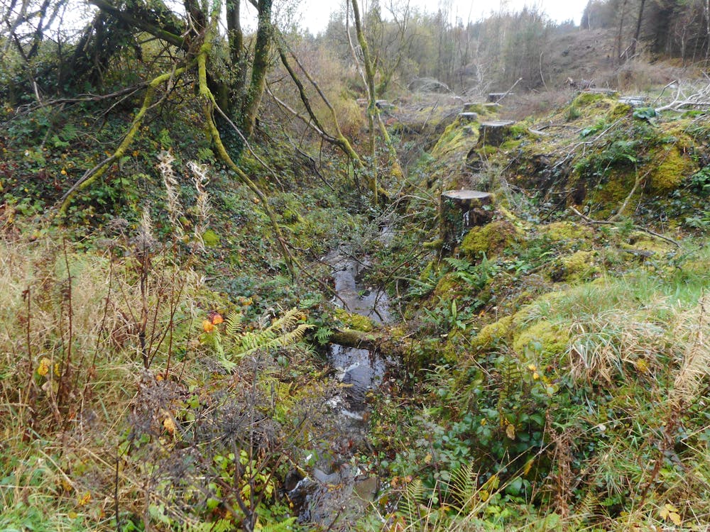
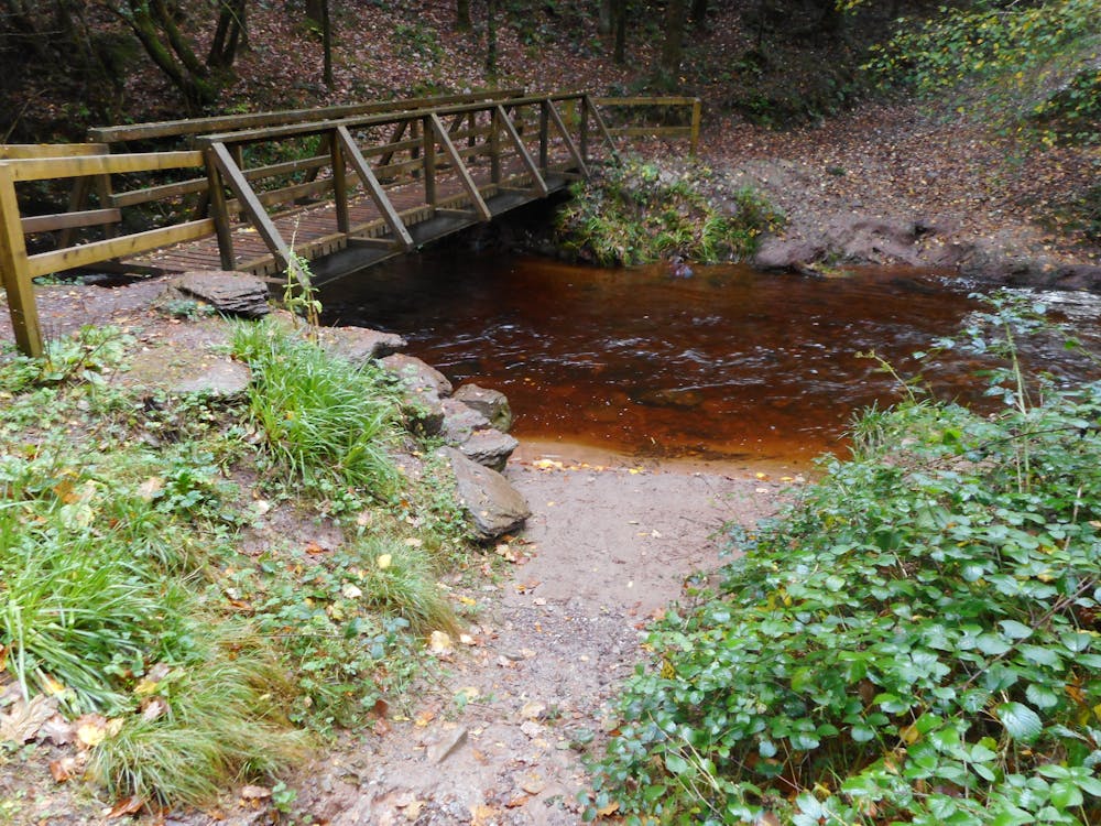
Un'escursione di un giorno in gran parte su strade forestali o sentieri ben mantenuti che porta a vedere le magnifiche cascate di Ballard e una porzione della Blackwater way nella traversata del bosco di Glansheskin, fino ad una parte più urbanizzata da Kilworth a Fermoy
Difficulty
Moderate
Hiking along trails with some uneven terrain and small hills. Small rocks and roots may be present.
Low Exposure

The path is on completely flat land and potential injury is limited to falling over.
Remoteness

Away from help but easily accessed.
Best time to visit
Features
- Picturesque
- Dog friendly
- Water features
- Forestry or heavy vegetation