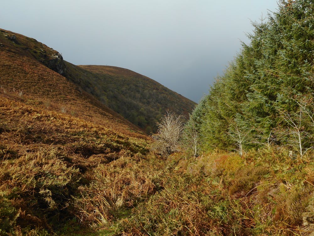
Monte Clargh ed il lago di Coomeenatrush
Il paesaggio di montagna del monte Claragh e la bellissima campagna vicino al Coomeentrush
Hiking Moderate
- Distance
- 25 km
- Ascent
- 633 m
- Descent
- 633 m
- Duration
- 5-6 hrs
- Low Point
- 95 m
- High Point
- 463 m
- Gradient
- 9˚

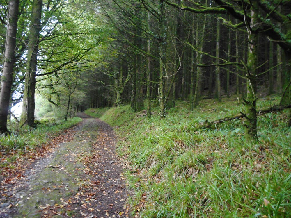
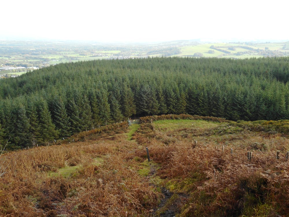
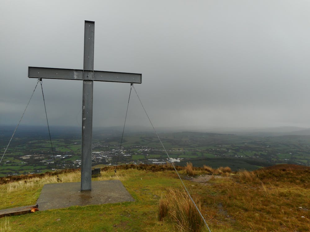
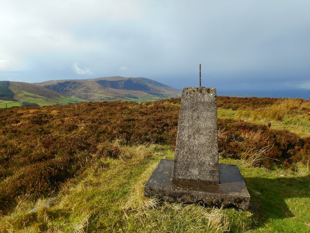
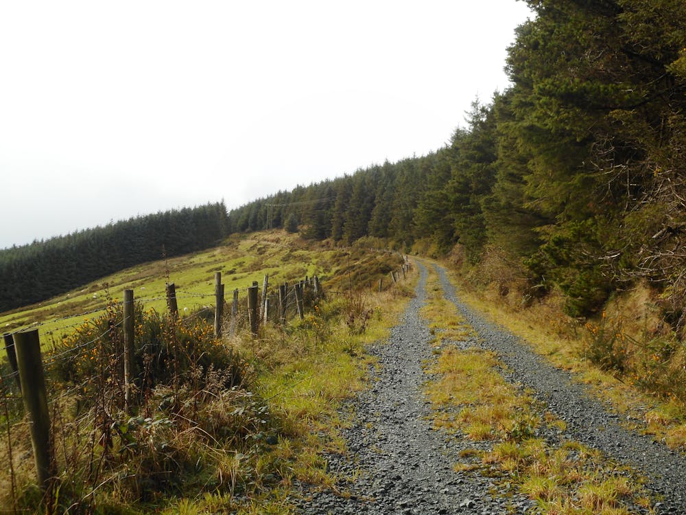
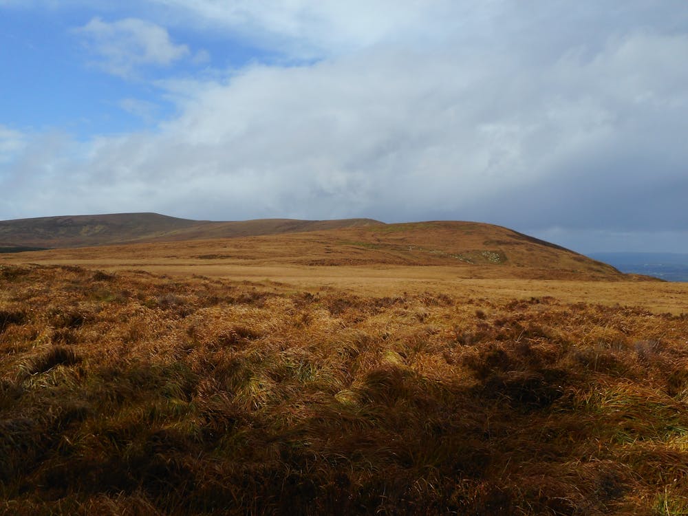
Un'escursione con lunghezza moderata, con bellissime viste sulla campagna attorno a Millstreet dalla vetta del monte Claragh. Bellissima parte in mezzo alle pale eolico usando le sterrate che compongono le infrastrutture del parco. Nel ritorno verso Millstreet si può fare una piccola deviazione per andare a vedere il lago e le cascate di Coomeenatrush.

- •
- •
- •
- •
- •
- •
- •
- •
Difficulty
Moderate
Hiking along trails with some uneven terrain and small hills. Small rocks and roots may be present.
Medium Exposure

The trail contains some obstacles such as outcroppings and rock which could cause injury.
Remoteness
Away from help but easily accessed.
Best time to visit
Features
- Picturesque
- Summit Hike
- Dog friendly
- Forestry or heavy vegetation