Tru-Hike Maamturks
A one-day grass-climbing hike through some of Connacht's most amazing scenery
Hiking Difficult
- Distance
- 9.7 km
- Ascent
- 738 m
- Descent
- 768 m
- Duration
- 3-4 hrs
- Low Point
- 69 m
- High Point
- 693 m
- Gradient
- 16˚

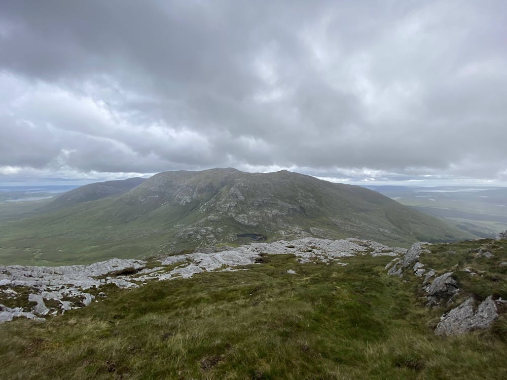
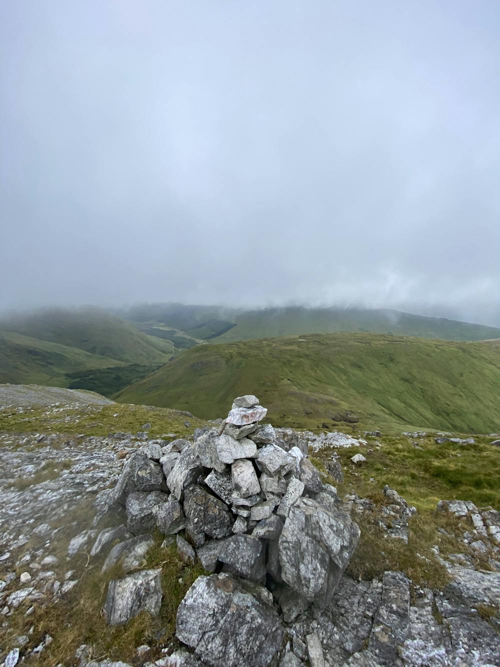
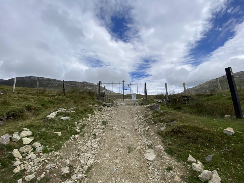
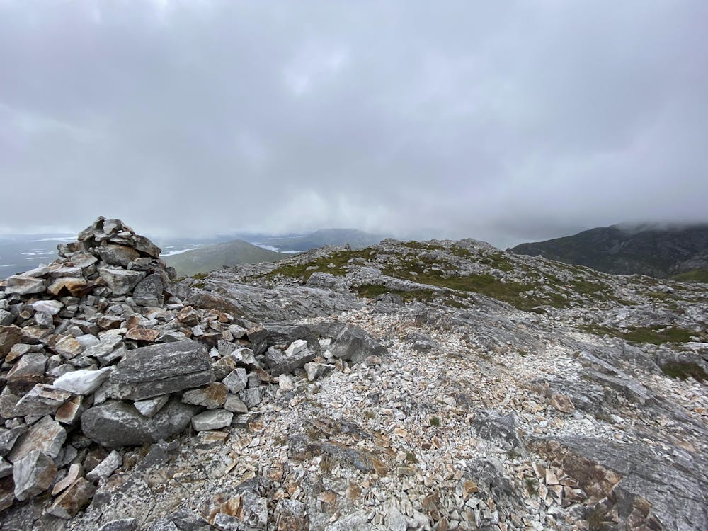
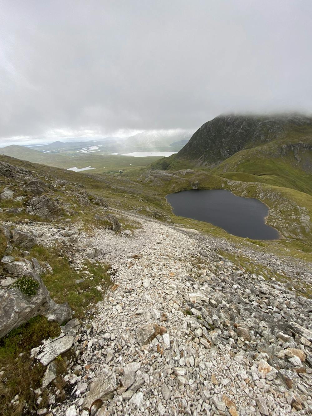
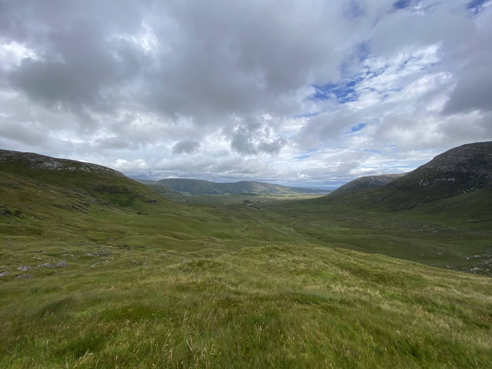
This is a popular hiking route which is generally considered to be difficult. It's remote, it features high exposure and is typically done between April and September. From a low point of 69 m to the maximum altitude of 693 m, the route covers 9.7 km, 738 vertical metres of ascent and 768 vertical metres of descent.
- •
- •
- •
- •
- •
- •
- •
- •
- •
- •
- •
- •
Description
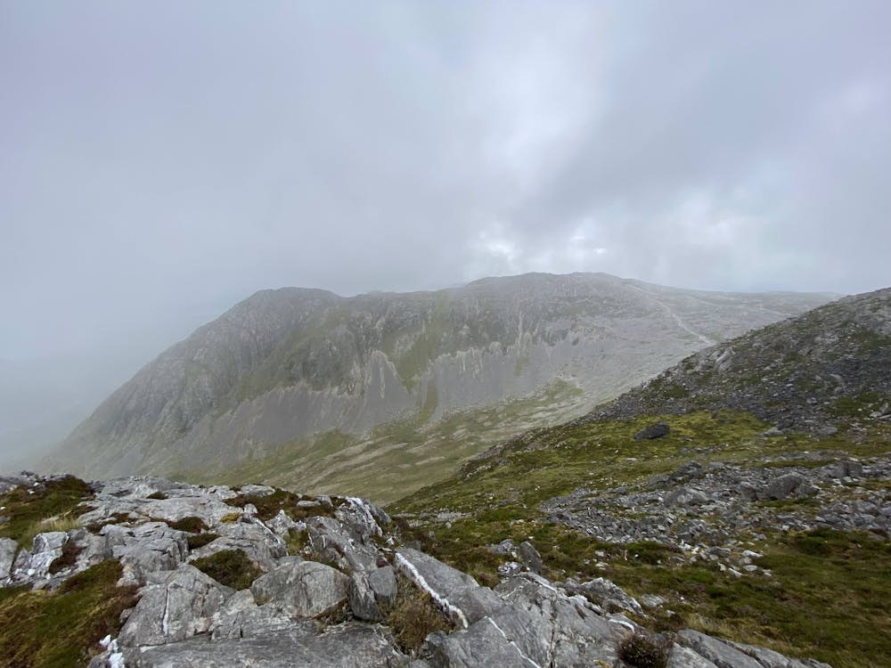
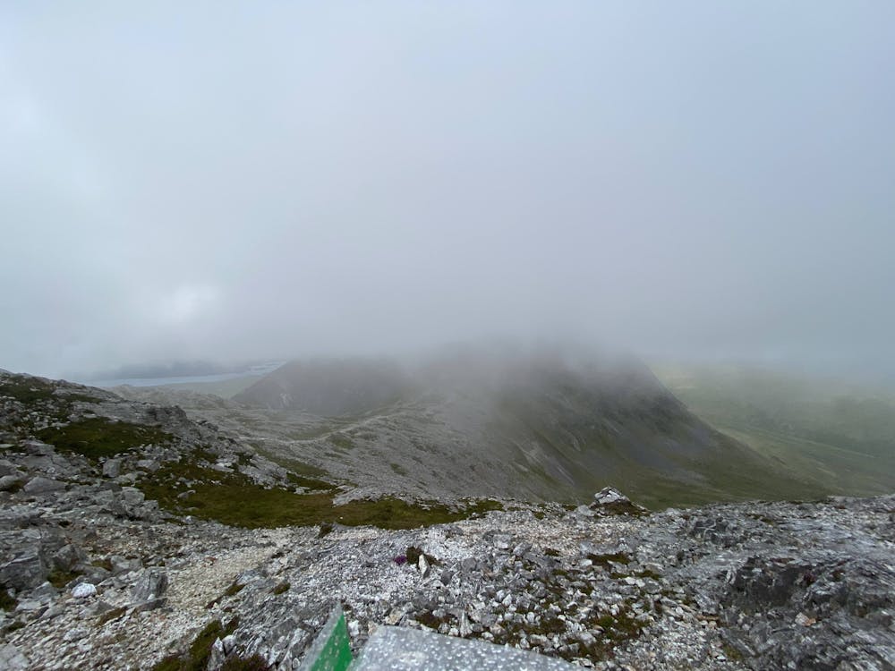
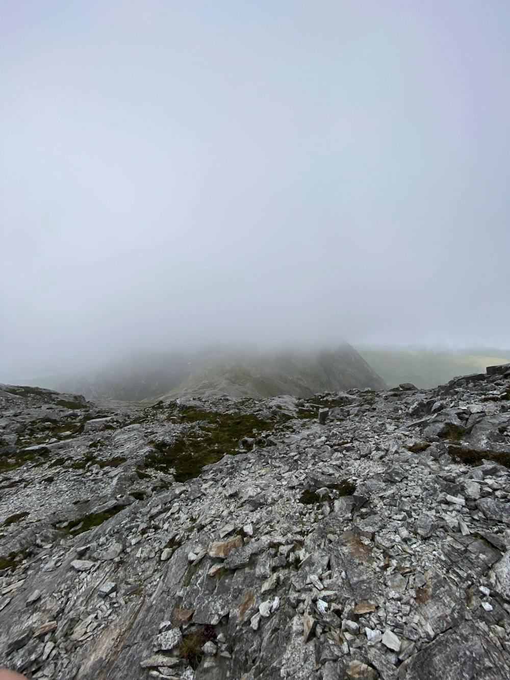
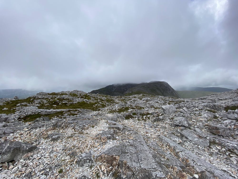
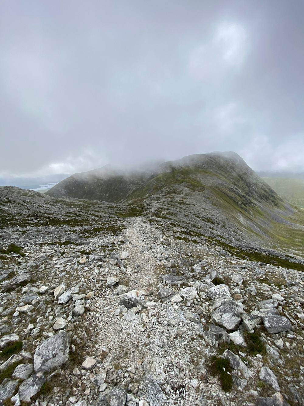
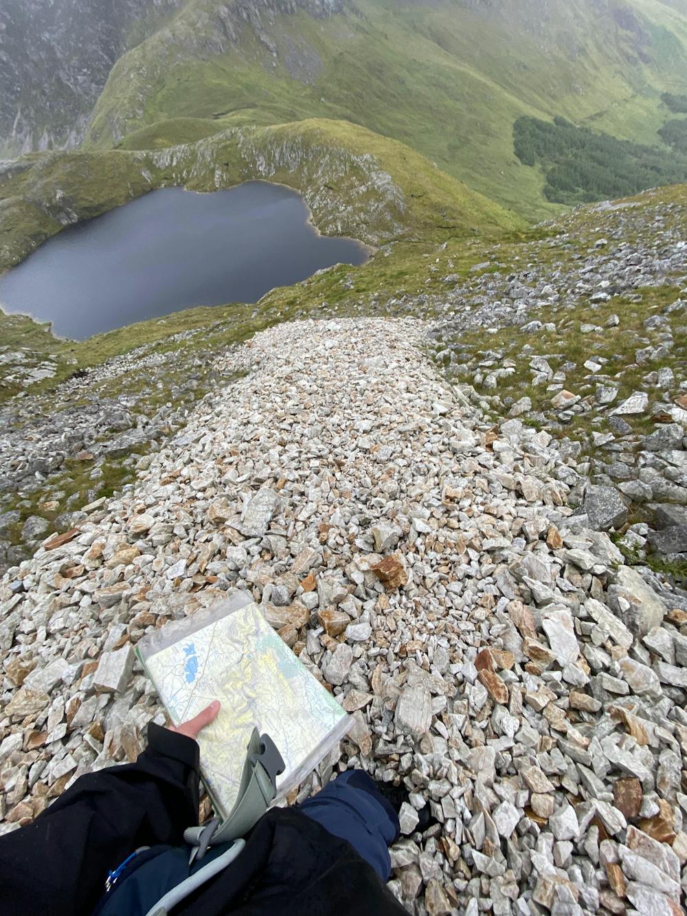
A steep climb up onto and down from the ridgeline. Map/compass or GPS skills are necessary as any low cloud will hinder visibility and without any paths on this route, good orientation skills are required
Difficulty
Difficult
Hiking trails where obstacles such as rocks or roots are prevalent. Some obstacles can require care to step over or around. At times, the trail can be worn and eroded. The grade of the trail is generally quite steep, and can often lead to strenuous hiking.
High Exposure

Some trail sections have exposed ledges or steep ascents/descents where falling could cause serious injury.
Remoteness

Away from help but easily accessed.
Best time to visit
Features
- Alpine
- Wildlife
- Picturesque
- Summit Hike
- Water features