Over and Under
Taking in some of the quieter parts of Wicklow...
Mountain Biking Moderate
- Distance
- 49 km
- Ascent
- 1.3 km
- Descent
- 1.3 km
- Duration
- 4-5 hrs
- Low Point
- 63 m
- High Point
- 331 m
- Gradient
- 9˚
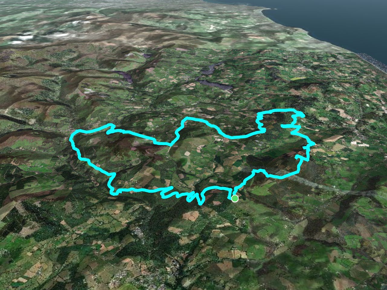
This is a popular mountain biking route which is generally considered to be moderate. It's not remote, it features low exposure and is typically done all year round. From a low point of 63 m to the maximum altitude of 331 m, the route covers 49 km, 1266 vertical metres of ascent and 1266 vertical metres of descent.
Description
It's within reach of the more well known points around Wicklow and it's easy enough to go off the saved route and find other nice routes in between
Difficulty
Moderate
Mostly stable trail tread with some variability, with unavoidable obstacles 8in/20cm tall or less. Other obstacles such as rock gullies and steep sections may exist. Ideal for lower intermediate riders.
Low Exposure

The path is on completely flat land and potential injury is limited to falling over.
Remoteness
Close to help in case of emergency.
Best time to visit
Features
- Picturesque
- Singletrack
- In the forest
- Road sections
- Roots