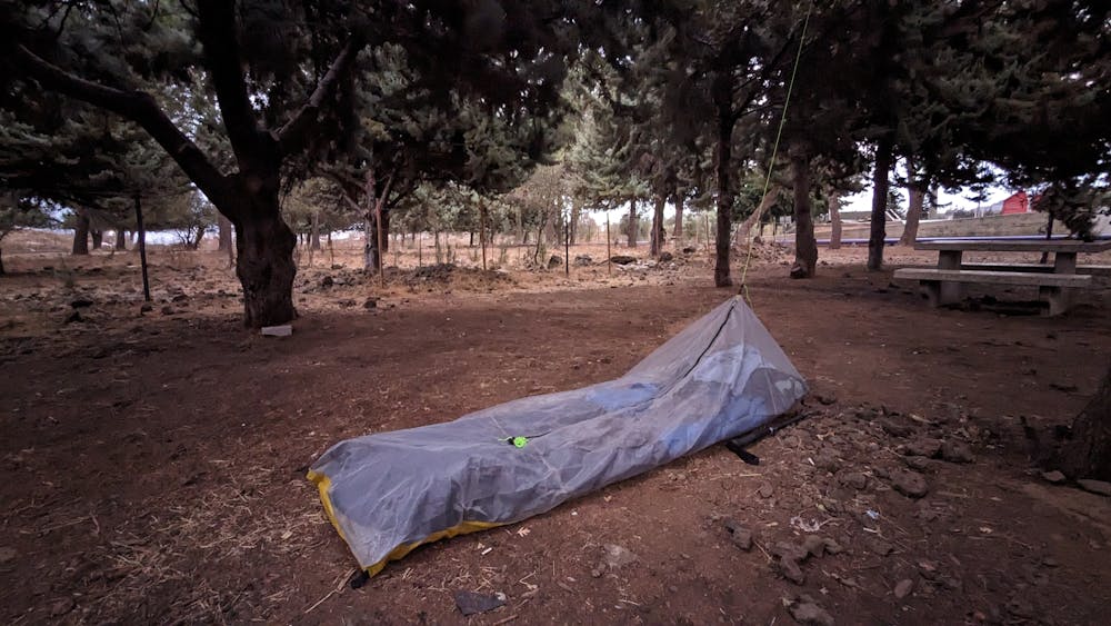
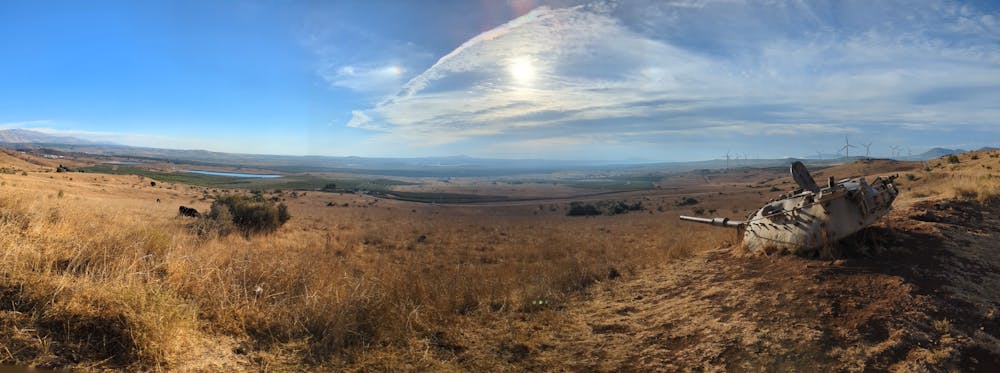
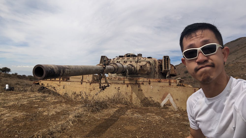
Golan Trail (Day 1)
Golan Trail Section 3-4
Hiking Easy
- Distance
- 23 km
- Ascent
- 501 m
- Descent
- 592 m
- Duration
- 5-6 hrs
- Low Point
- 913 m
- High Point
- 1.1 km
- Gradient
- 7˚

This is a popular hiking route which is generally considered to be easy. It's not remote, it features medium exposure and is typically done in March, April, May, October, November and December. From a low point of 913 m to the maximum altitude of 1.1 km, the route covers 23 km, 501 vertical metres of ascent and 592 vertical metres of descent.
- •
- •
- •
- •
- •
- •
Description
Golan Trail Section 3-4.
See my blog post at: https://aclamtravelsonashoestring.wordpress.com/2023/10/15/golan-trail-day-1-el-rum-to-ein-ziwan/
The official tourism page for the trail at: https://tourgolan.org.il/en/the-golan-trail/
Difficulty
Easy
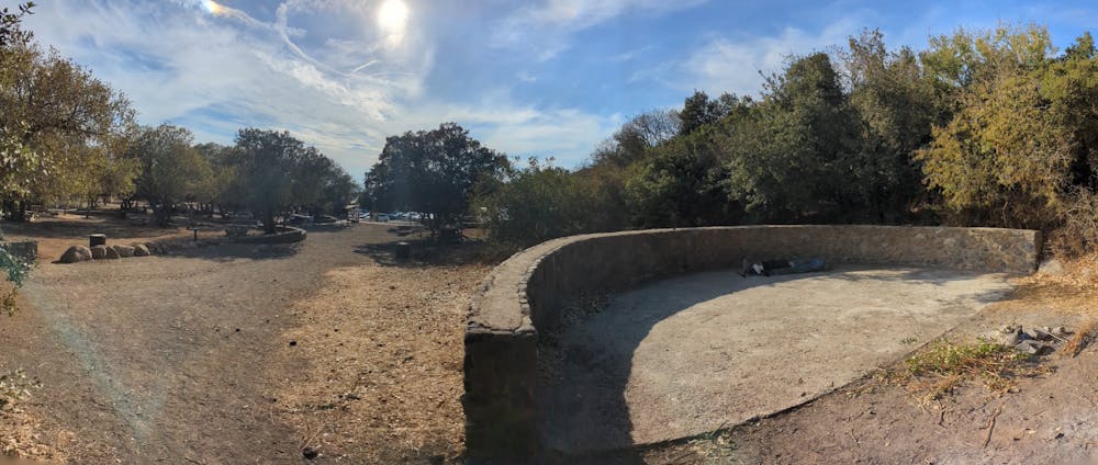
Walking along a well-kept trail that’s mostly flat. No obstacles are present.
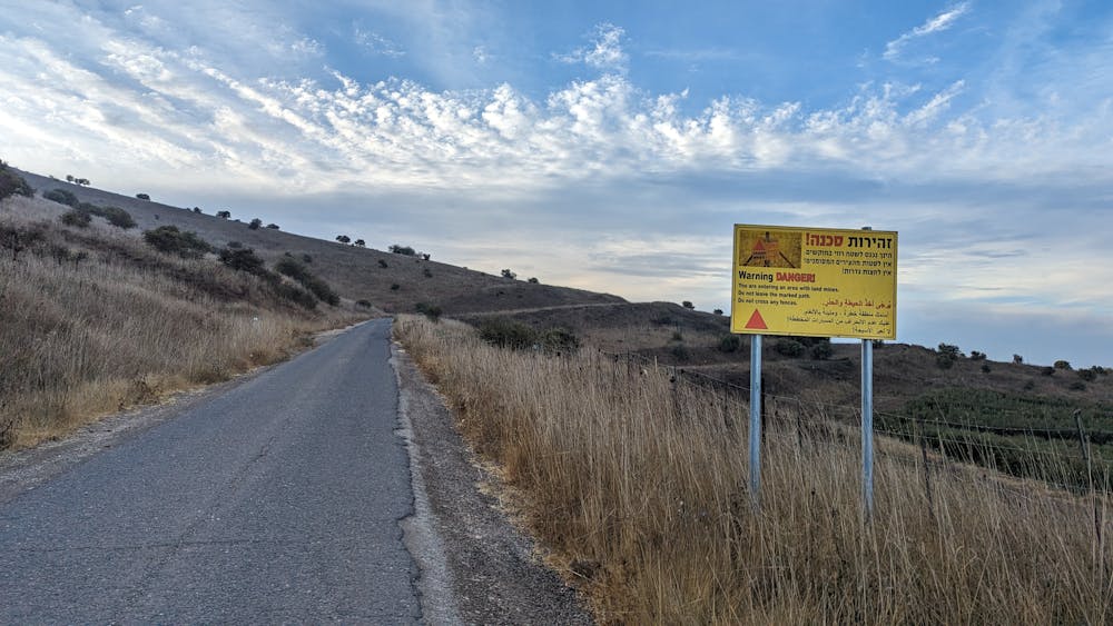
Medium Exposure

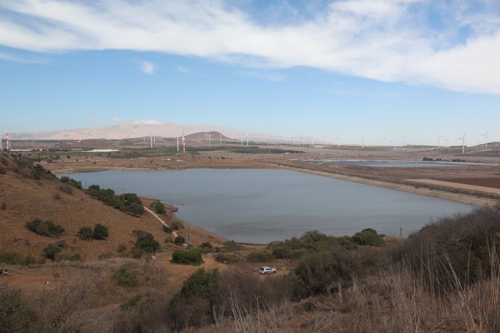
The trail contains some obstacles such as outcroppings and rock which could cause injury.
Remoteness

Close to help in case of emergency.