Fuoristrada in Valcerrina
Mombello Monferrato (23 km)
Mountain Biking Difficult
- Distance
- 23 km
- Ascent
- 551 m
- Descent
- 551 m
- Duration
- 2-3 hrs
- Low Point
- 135 m
- High Point
- 368 m
- Gradient
- 6˚

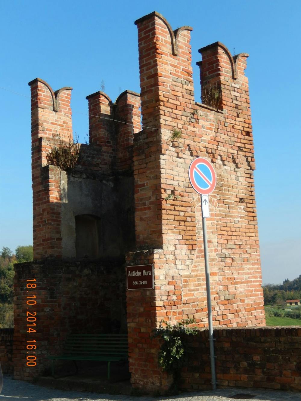
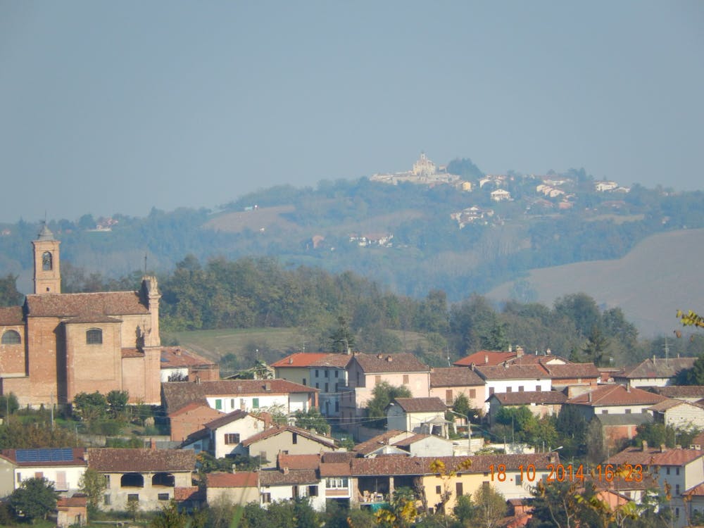
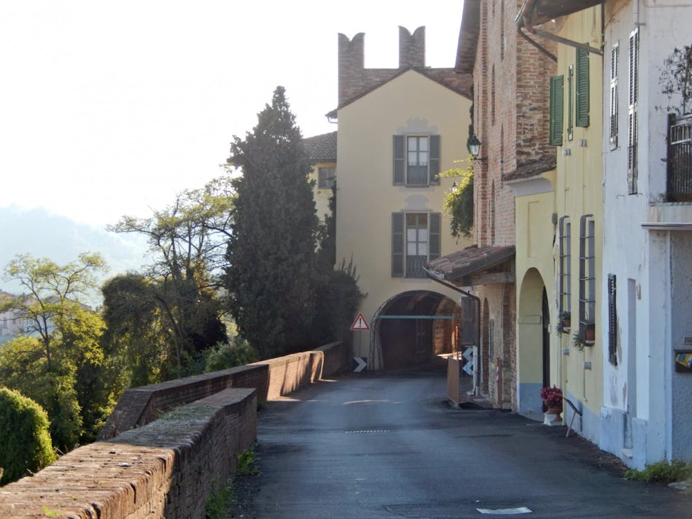
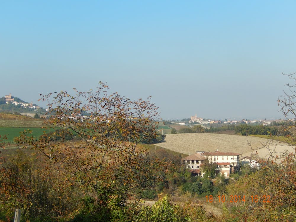
Our starting point is located in Gaminella on the Ss 590 Valcerrina, park your car in the parking lot in front of the bar and disco. Exit the car park and take the SS 590, go to the Agip petrol station and turn left to the side of the petrol station, past the houses the asphalt road ends and a grassy dirt road begins, continue until you arrive on the asphalt road that leads from the state road to Mombello Monferrato. Turn right downhill and immediately after a few meters cross and take the opposite side of the dirt road uphill that will take us to Mombello, enter the village and further on in the curve take the second road on the left, practically flat, you pass near the ancient walls, where you can admire the view. Leave the village and take the road to Ilengo and Zenevreto, once you reach the sign for Ilengo, just afterwards take the grassy dirt road on the right (or continue and a little further on at the crossroads turn right). This dirt road, mainly downhill with ups and downs, leads to an asphalt road. We go right, initially uphill and then downhill we reach Solonghello, arrived at the bend at the end of the descent, continue straight uphill, you arrive on dirt road, devalues and downhill we arrive on the asphalt road that leads from the state road to Solonghello, we cross to bring us near some houses, at the end of the asphalt road on the right, just after the last house, there is a grassy dirt road slightly downhill that leads to the SS 590 that we must cross turning left, continue to the intersection of Castagnone, follow the signs for the Sanctuary of Crea. Continue for a km. and turn right (we are at Madonnina) always on asphalt after about 450 m. in the widening of the curve continue straight on white road, you arrive on asphalt and near the cemetery of Serralunga di Crea, stay right and then a little further on take the second road on the right downhill. Continue until you cross the other asphalt road that leads from the state road to Serralunga di Crea turn right and then immediately left on dirt road, which we will travel for 1.5 km. and you arrive on the asphalt road that leads from the state road to Casalino, here we will face the climbs but also the most challenging descents of our path. We cross the village and, at the end of the descent turn right uphill, after some houses the asphalt ends turning into a dirt road, continue until you find a crossroads, you leave the dirt road to continue straight on dirt road (road Bric Mongiuetto). After about 350 m. turn right uphill, hard and continue until a crossroads turn right again, for a few meters on the flat and then, here awaits us the funniest descent of our tour, a descent to be faced decided but .... with caution (signs dangerous descent) is a stretch of the race path of MTB with the presence of bumps and furrows of erosion and some outcropping tuffaceous boulders, arrived at the end of this descent near a field and some dwelling, reverse the direction of travel and after a few meters you arrive on a square (we are in the locality Pezzere) and still begins the asphalt to stay compulsorily right, continue to Montaldo and cross it uphill, follow the signs for via Villa, continue uphill until the end of the asphalt road after a sharp bend to the right, again downhill but on a dirt road, be careful to keep to the right, you may come across cars or farm vehicles. You will reach a village where the asphalt begins to descend very fast, use caution. At the end of the descent we are in Gaminella, we cross the SS 590 and we are at the parking lot.
- •
- •
- •
- •
Description
Difficulty
Difficult
Mostly stable trail tread with some variability featuring larger and more unavoidable obstacles that may include, but not be limited to: bigger stones, roots, steps, and narrow curves. Compared to lower intermediate, technical difficulty is more advanced and grades of slopes are steeper. Ideal for upper intermediate riders.
Medium Exposure

The trail contains some obstacles such as outcroppings and rock which could cause injury.
Remoteness

Close to help in case of emergency.