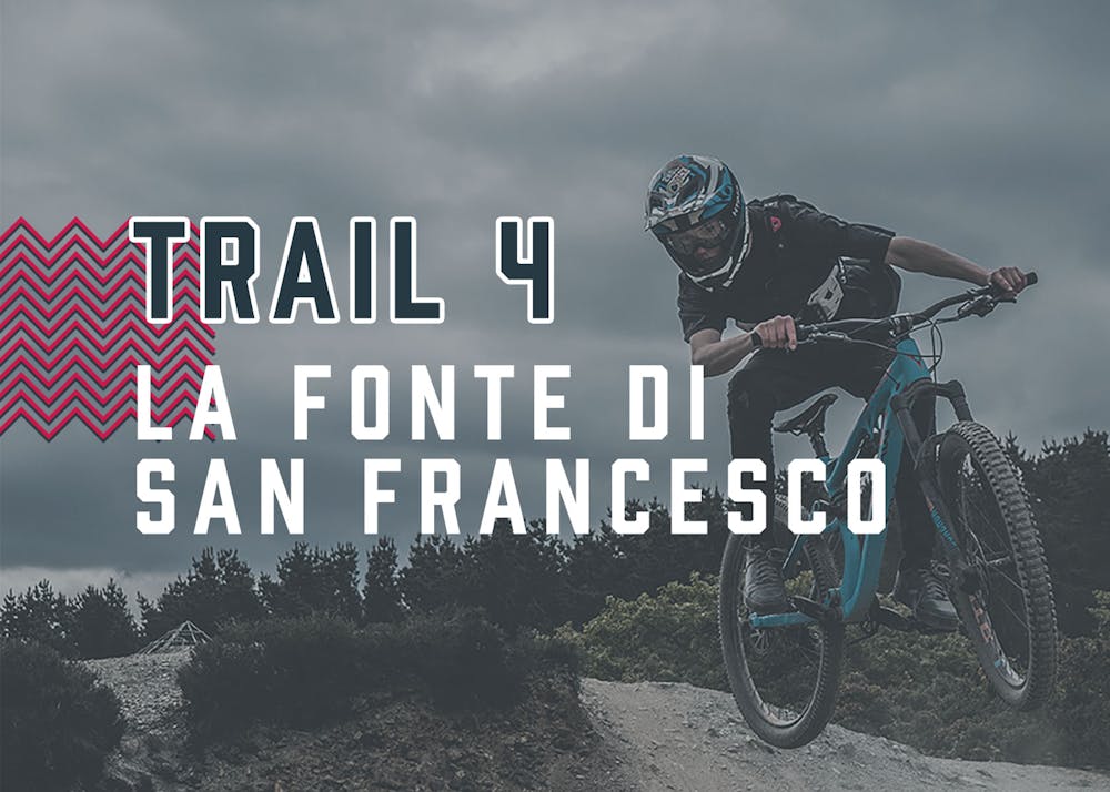
La Fonte di San Francesco
Trail 4 | La Fonte di San Francesco - Chiusi Verna Bike
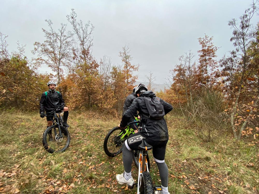
Mountain Biking Extreme
- Distance
- 24 km
- Ascent
- 1 km
- Descent
- 1 km
- Duration
- 2-3 hrs
- Low Point
- 447 m
- High Point
- 958 m
- Gradient
- 7˚

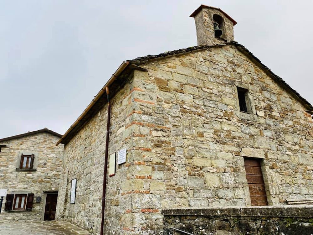
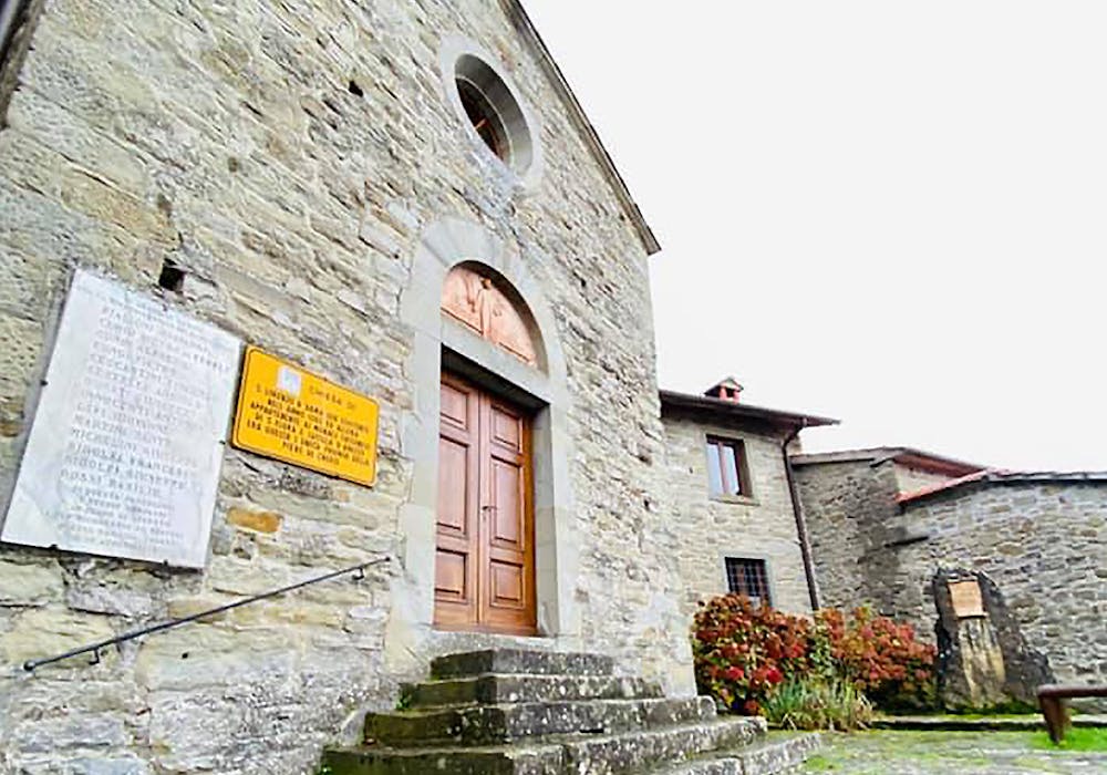
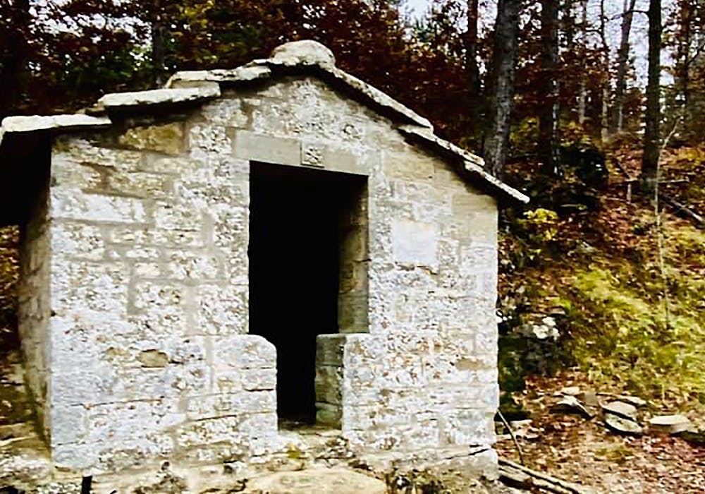
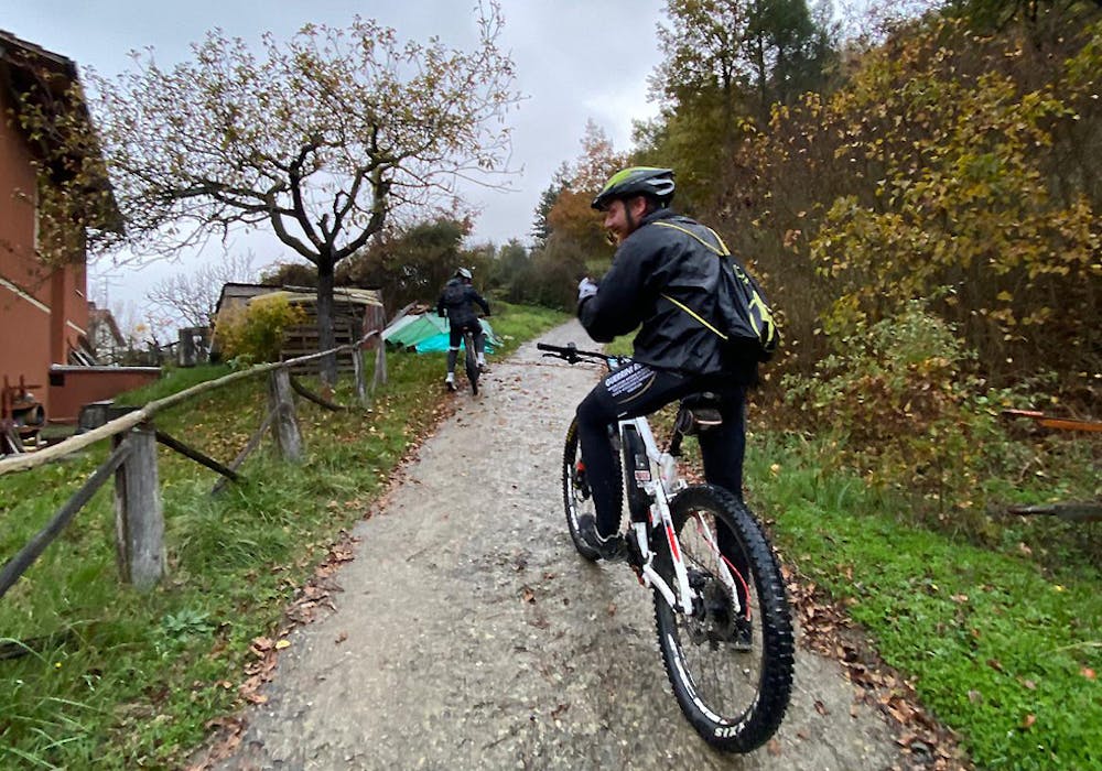
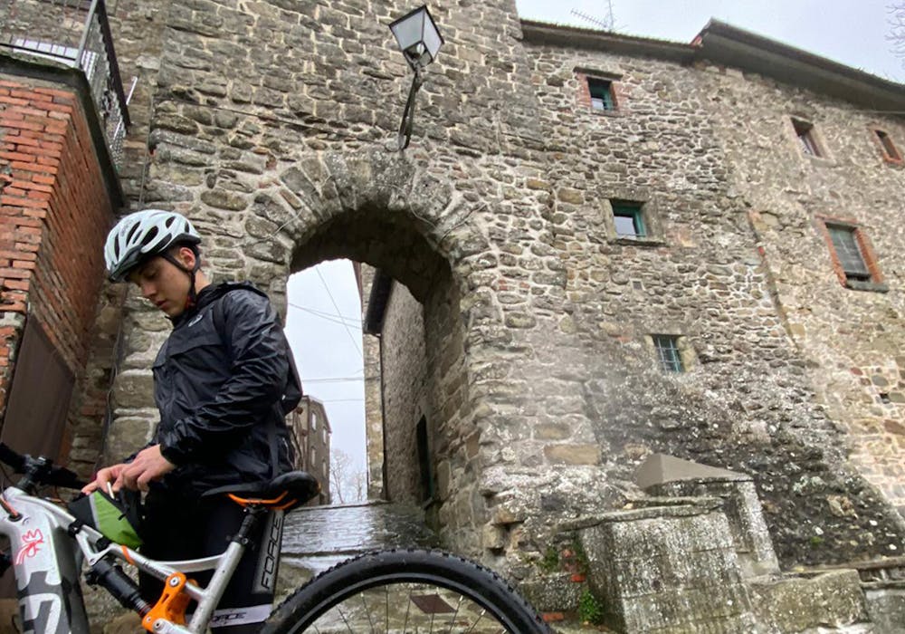
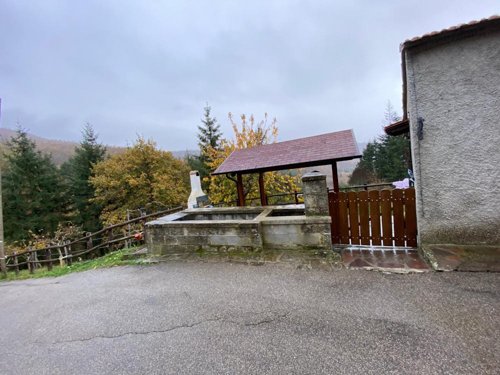
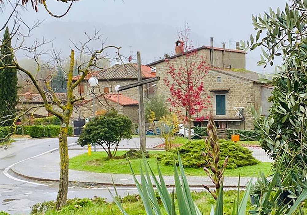
Questi 23 km immersi nel bosco ci portano a scoprire i piccoli borghi che circondano Chiusi della Verna. Questa volta scendiamo.. Passiamo da Vezzano per arrivare alla Fonte di San Francesco dove l’acqua esce dalla roccia come per magia... Attraversiamo Dama, Case Nuove, fino ad arrivare a Sarna dove sembra di essere dentro una fiaba...
- •
- •
- •
- •
- •
- •
- •
- •
- •
- •
Difficulty
Extreme
Very steep, difficult, narrow singletrack with widely variable and unpredictable trail conditions. Unavoidable obstacles could be 15in/38cm tall or greater, and unavoidable obstacles with serious consequences are likely to be present. Obstacles could include big rocks, difficult root sections, drops, jumps, sharp switchbacks, and more. Ideal for expert-level riders.
Medium Exposure

The trail contains some obstacles such as outcroppings and rock which could cause injury.
Remoteness
Away from help but easily accessed.