E-bike: castles, lakes and rivers
Cortina d'Ampezzo
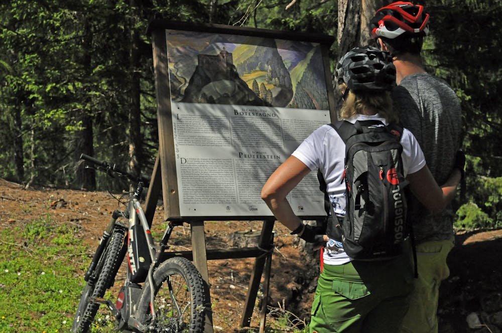
Circular route with departure and arrival point in Cortina, leads to the Castle of Botestagno and the enchanting Lake Ghedina, via part of the Dolomites Cycle Path and the areas of Pian de Loa and Pian de ra Spines.
Mountain Biking Moderate
- Distance
- 31 km
- Ascent
- 884 m
- Descent
- 884 m
- Duration
- 2-3 hrs
- Low Point
- 1.2 km
- High Point
- 1.7 km
- Gradient
- 7˚

From the Cortina bus station, head north on the cycle path towards Dobbiaco and continue for some kilometres through the Fiames area with its scree slopes, the imposing Mount Pomagagnon to your right and the Col Rosà to your left. After a long tunnel dug into the rock, where trains once passed (you can still see the shape of the train chimney), you will come to an iron bridge overlooking the deep gorge of Rio Felizon where a stop to admire the view is an absolute must. After another short tunnel, turn left and uphill until you meet the state road to Dobbiaco. Keep left without crossing the state road and continue along the track that climbs up to the Castle of Botestagno, which overlooks the confluence of the Boite and Felizon streams (1,513 m). Park your bike and tackle the last uphill stretch to the peak of the rock on foot. The view from the top is spectacular and reveals the historic strategic importance of this spot. Recent excavations have brought to light the ruins of the old castle and a plaque was erected to remember the capture of the castle by Maximilian I of Habsburg, which marked the beginning of the Austrian domination of Cortina until the First World War. Back in the saddle, return towards the state road and cross it using the subway (a bumpy stretch). Continue downhill until you meet the road that climbs up to Malga Ra Stua to the right. From here, continue straight through the large car park and then down to Pian de Loa (1,360 m) with its picturesque “cason” in the middle of a magical clearing. You will find yourselves within the Dolomiti d’Ampezzo Natural Park, which extends over 11,200 hectares to the north of the town of Cortina, on the border between Veneto and Alto Adige. At the crossroads with the paved road, keep left and, just before the Dolomiti d’Ampezzo Park Information Office (the refreshment point “Spiaggia Verde” is located just a little further ahead), turn right and continue downhill to Pian de Ra Spines. After crossing a nerve-racking bridge over the Boite, follow a stunning road that flanks the river until you reach International Camping Olympia. Here turn right and uphill along the pedestrianised paved road which, after 2 kilometres, will bring you to the crystal-clear waters of Lake Ghedina as well as the Ristorante Da Bepi al Lago Ghedina. From here, retrace your steps for approximately 200 metres and then take the uphill track to reach the flat Montanelli Route after a couple of kilometres. Take the Passeggiata Montanelli route and, just before you get to Piè Tofana, you will come across a magical artificial lake in the shape of a heart and Caribbean colours. From Piè Tofana, head downhill along the paved road and turn left at the next crossroads to return to Lake Ghedina. From here, along the same road as the outward journey, continue towards Fiames and, once across the state road, take the cycle path to return to Cortina.
Difficulty
Moderate
Mostly stable trail tread with some variability, with unavoidable obstacles 8in/20cm tall or less. Other obstacles such as rock gullies and steep sections may exist. Ideal for lower intermediate riders.
Low Exposure

The path is on completely flat land and potential injury is limited to falling over.
Remoteness
Close to help in case of emergency.
Best time to visit
Features
- Picturesque
- In the forest