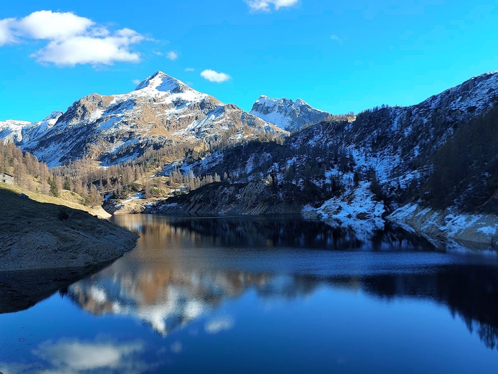
Gemelli da branzi
Rifugio laghi gemelli da Branzi. Comodo parcheggio al campo sportivo di Branzi. Sentiero più impegnativo e meno frequentato rispetto alle altre varianti
Hiking Moderate
- Distance
- 5.4 km
- Ascent
- 1.2 km
- Descent
- 42 m
- Duration
- 3-4 hrs
- Low Point
- 824 m
- High Point
- 2 km
- Gradient
- 19˚

This is a popular hiking route which is generally considered to be moderate. It's not remote, it features low exposure and is typically done between April and November. From a low point of 824 m to the maximum altitude of 2 km, the route covers 5.4 km, 1177 vertical metres of ascent and 42 vertical metres of descent.
Description
Rifugio laghi gemelli da branzi
Difficulty
Moderate
Hiking along trails with some uneven terrain and small hills. Small rocks and roots may be present.
Low Exposure

The path is on completely flat land and potential injury is limited to falling over.
Remoteness
Close to help in case of emergency.
Best time to visit
Features
- Picturesque
- Dog friendly
- Water features
- Forestry or heavy vegetation