Giro ad anello nel bosco partendo da Bossico
Bossico monte Colombina con giro in mezzo al bosco
Hiking Easy
- Distance
- 16 km
- Ascent
- 797 m
- Descent
- 798 m
- Duration
- 4-5 hrs
- Low Point
- 893 m
- High Point
- 1.4 km
- Gradient
- 12˚

This is a popular hiking route which is generally considered to be easy. It's not remote, it features low exposure and is typically done all year round. From a low point of 893 m to the maximum altitude of 1.4 km, the route covers 16 km, 797 vertical metres of ascent and 798 vertical metres of descent.
- •
- •
Description
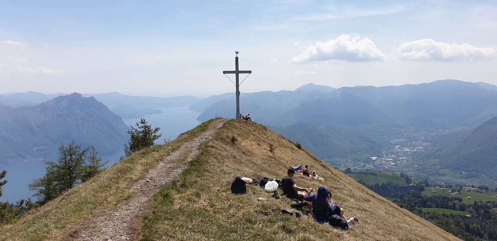
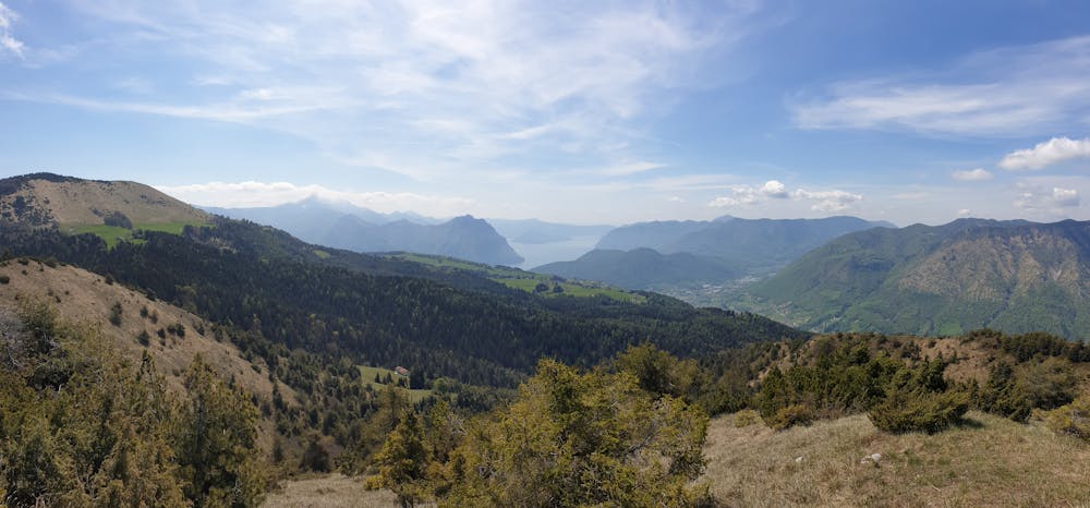
Giro molto tranquillo con partenza dal parcheggio di Bossico, passando per il bosco prima di raggiungere il monte Colombina. E' un percorso adatto a tutti, non presenta difficoltà e non serve una particolare preparazione atletica.
Difficulty
Easy
Walking along a well-kept trail that’s mostly flat. No obstacles are present.
Low Exposure

The path is on completely flat land and potential injury is limited to falling over.
Remoteness
Close to help in case of emergency.
Best time to visit
Features
- Picturesque
- Dog friendly
- Wild flowers
- Water features
- Family friendly