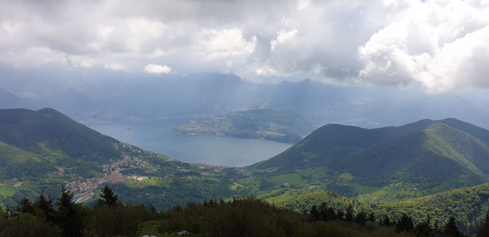
monte Bronzone da Lerano
monte Bronzone da Lerano
Hiking Moderate
- Distance
- 14 km
- Ascent
- 939 m
- Descent
- 946 m
- Duration
- 4-5 hrs
- Low Point
- 541 m
- High Point
- 1.3 km
- Gradient
- 14˚

This is a popular hiking route which is generally considered to be moderate. It's not remote, it features low exposure and is typically done all year round. From a low point of 541 m to the maximum altitude of 1.3 km, the route covers 14 km, 939 vertical metres of ascent and 946 vertical metres of descent.
- •
- •
- •
Description
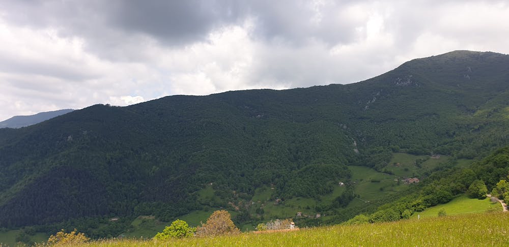
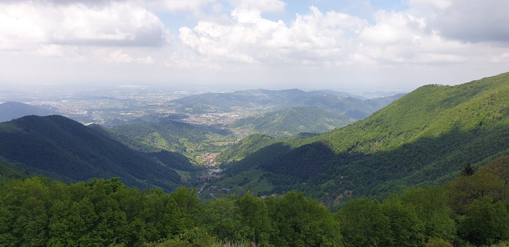
Giro ad anello che non presenta particolari difficoltà tecniche e quindi adatto a tutti. Molto panoramico il paesaggio sia dalla vetta che dalla croce al corno buco. E' sempre molto frequentato nei weekend.
Difficulty
Moderate
Hiking along trails with some uneven terrain and small hills. Small rocks and roots may be present.
Low Exposure

The path is on completely flat land and potential injury is limited to falling over.
Remoteness
Close to help in case of emergency.
Best time to visit
Features
- Picturesque
- Summit Hike
- Dog friendly
- Family friendly