Tagliaferri e laghi del Venerocolo
Tagliaferri e laghi del Venerocolo
Hiking Difficult
- Distance
- 21 km
- Ascent
- 1.5 km
- Descent
- 1.5 km
- Duration
- 6-7 hrs
- Low Point
- 1.1 km
- High Point
- 2.5 km
- Gradient
- 16˚

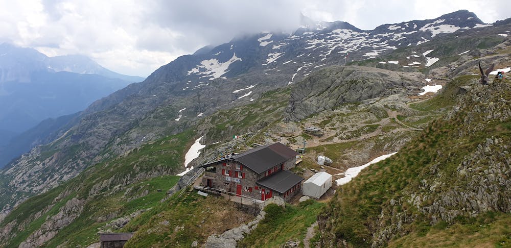
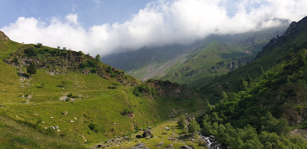
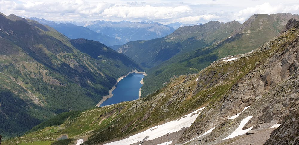
Giro lungo ma molto bello. Solo per arrivare al rifugio sono circa 12km, quindi bisogna essere allenati. Dal rifugio ai laghi del Venerocolo ci sono alcuni passaggi dove bisogna prestare attenzione ma niente di difficile. Per il resto l'ambiente circostante è molto suggestivo. Comodo il parcheggio gratuito a Ronco di Schilpario.
- •
- •
- •
Difficulty
Difficult
Hiking trails where obstacles such as rocks or roots are prevalent. Some obstacles can require care to step over or around. At times, the trail can be worn and eroded. The grade of the trail is generally quite steep, and can often lead to strenuous hiking.
High Exposure

Some trail sections have exposed ledges or steep ascents/descents where falling could cause serious injury.
Remoteness

Away from help but easily accessed.
Best time to visit
Features
- Alpine
- Wildlife
- Picturesque
- Water features