DH Frassati
Discesa in Valle Elvo dal Tracciolino a Occhieppo Sup.
Mountain Biking Difficult
- Distance
- 4.6 km
- Ascent
- 10 m
- Descent
- 574 m
- Duration
- 0-1 hrs
- Low Point
- 581 m
- High Point
- 1.1 km
- Gradient
- 14˚

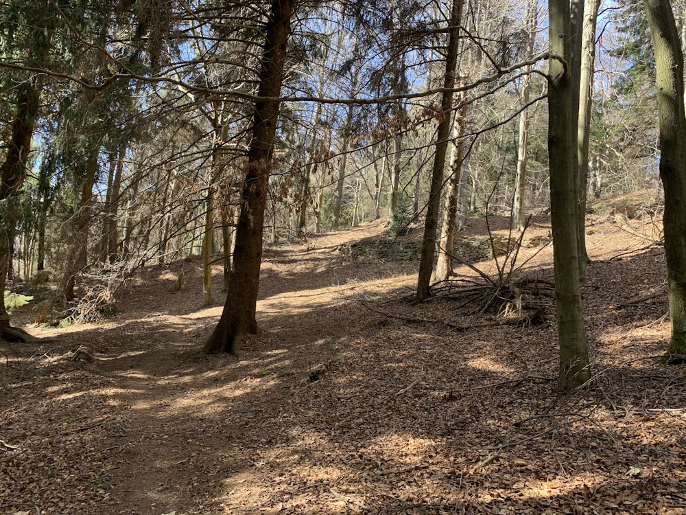
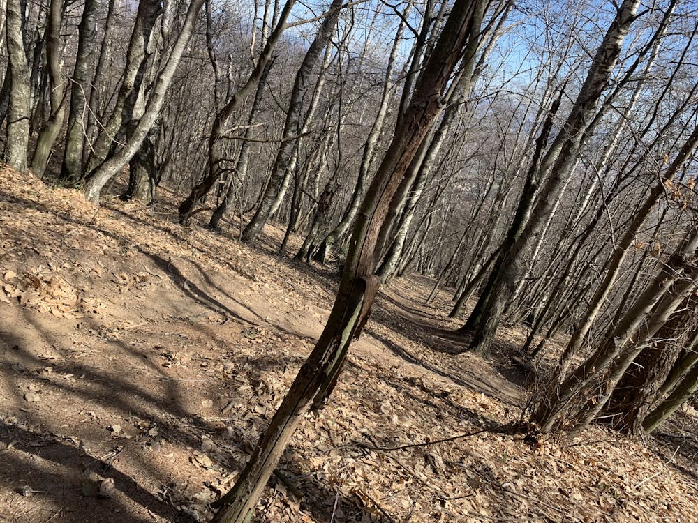
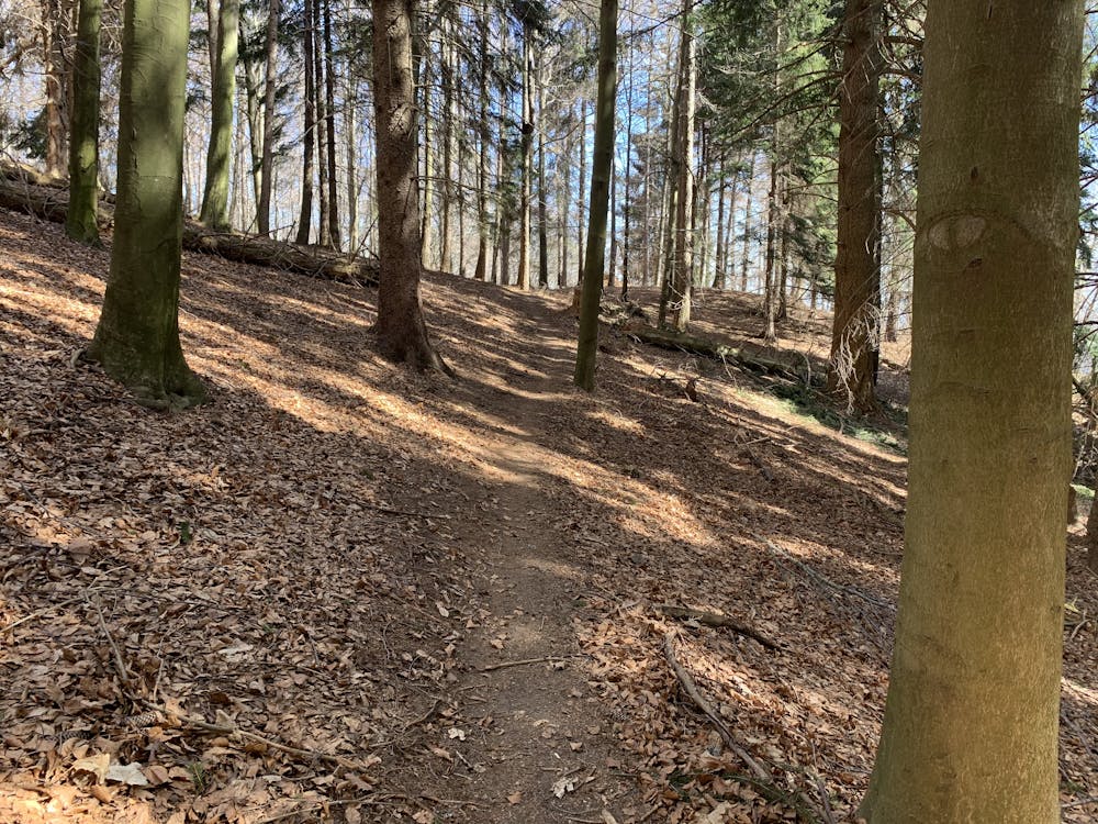
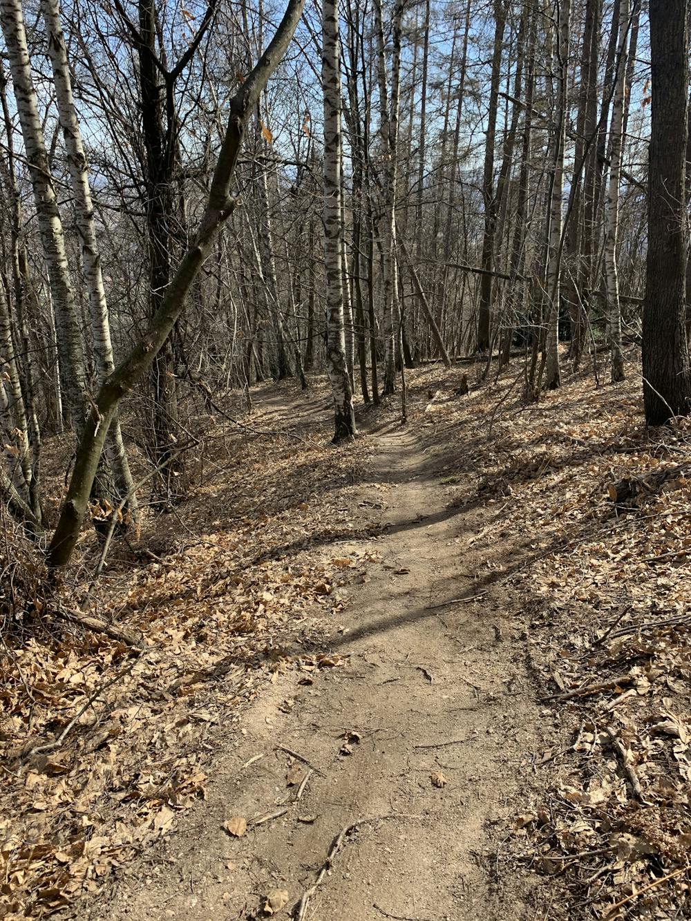
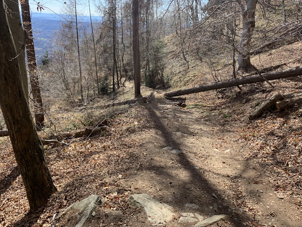
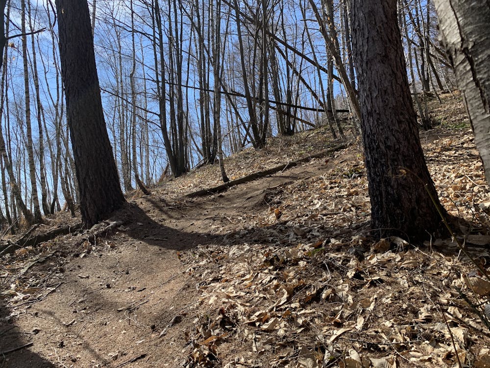
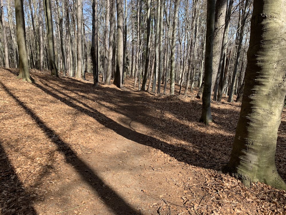
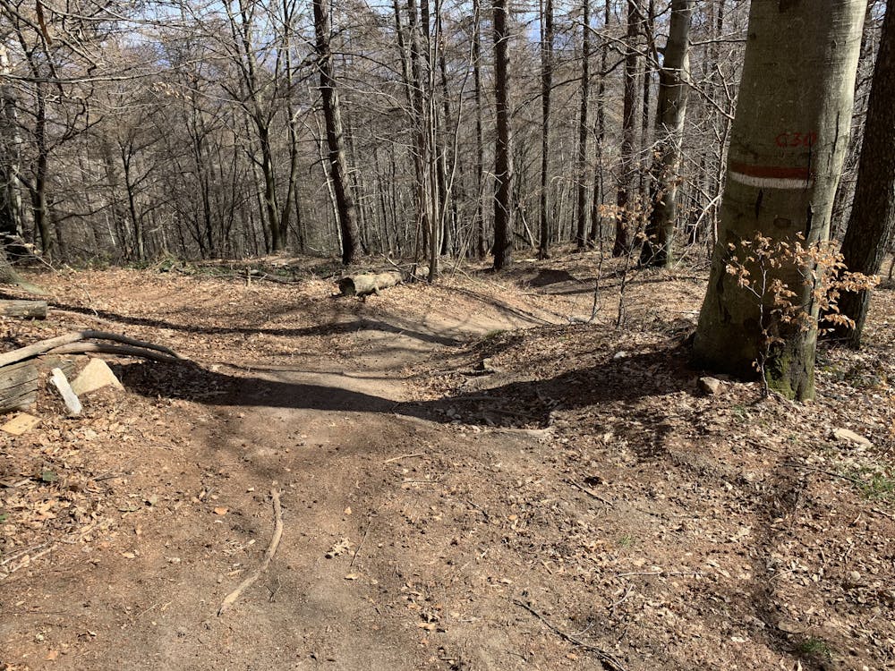
This is a popular mountain biking route which is generally considered to be difficult. It's not remote, it features medium exposure and is typically done between March and November. From a low point of 581 m to the maximum altitude of 1.1 km, the route covers 4.6 km, 10 vertical metres of ascent and 574 vertical metres of descent.
- •
- •
- •
- •
- •
- •
- •
- •
- •
- •
- •
- •
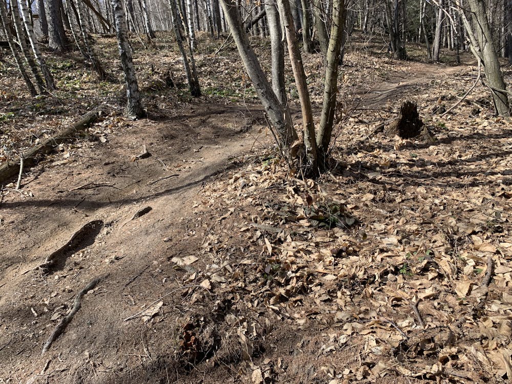
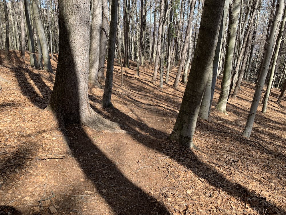
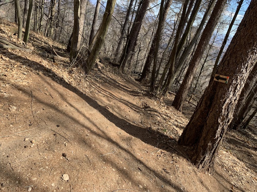
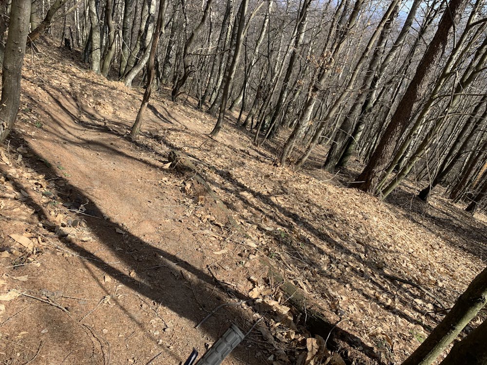
Description
Una discesa naturale e talvolta poco artificiale
Difficulty
Difficult
Mostly stable trail tread with some variability featuring larger and more unavoidable obstacles that may include, but not be limited to: bigger stones, roots, steps, and narrow curves. Compared to lower intermediate, technical difficulty is more advanced and grades of slopes are steeper. Ideal for upper intermediate riders.
Medium Exposure

The trail contains some obstacles such as outcroppings and rock which could cause injury.
Remoteness

Close to help in case of emergency.
Best time to visit
Features
- Flow
- Technical
- Singletrack
- In the forest
- Drops
- Jumps
- Roots
- Rock Gardens
- Wooden Feature