Eisgeist
Trentino-Alto Adige
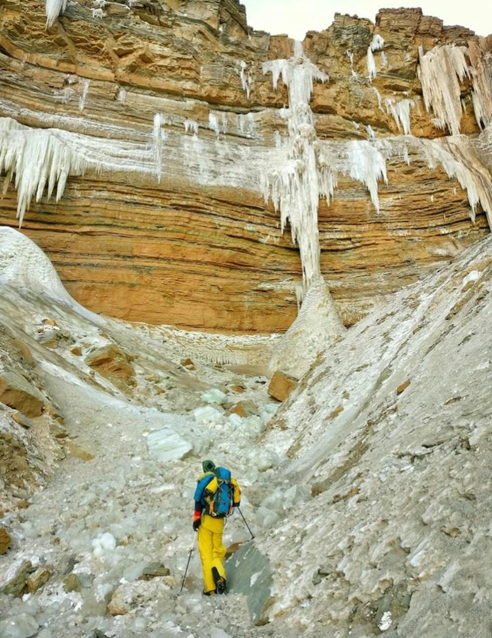
Eisklettern - Bletterbachschlucht
Alpine Climbing Extreme
- Distance
- 3 km
- Ascent
- 394 m
- Descent
- 40 m
- Low Point
- 1.5 km
- High Point
- 1.9 km
- Gradient
- 26˚

This is a popular alpine climbing route which is generally considered to be extreme. It's very remote, it features high exposure and is typically done between January and February. From a low point of 1.5 km to the maximum altitude of 1.9 km, the route covers 3 km, 394 vertical metres of ascent and 40 vertical metres of descent. You'll need crampons, quickdraws and 2 ice axes to complete it safely.
Description
Tourenbericht und Topo: https://www.suedtirolalpin.it/post/eisgeist-wi6
Difficulty
Extreme
Long, committing and complex routes with difficult and sustained climbing on rock/ice and challenging route finding throughout. TD upwards.
High Exposure

Much of the route is difficult to protect and a fall could be disastrous at certain points.
Remoteness
Little chance of being seen or helped in case of an accident.
Best time to visit
Equipment required
- Crampons
- Quickdraws
- 2 Ice Axes