Ortler - Hintergrat und Meranerweg
Sulden am Ortler - Solda al Ortles
Sulden
Trentino-Alto Adige
Überschreitung (AD/IV)
Alpine Climbing Difficult
- Distance
- 14 km
- Ascent
- 1.6 km
- Descent
- 2.3 km
- Low Point
- 1.6 km
- High Point
- 3.9 km
- Gradient
- 30˚

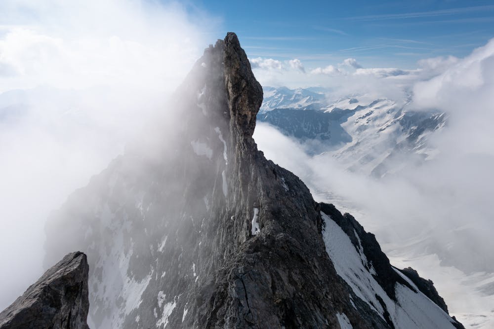
This is a popular alpine climbing route which is generally considered to be difficult. It's remote, it features medium exposure and is typically done between June and September. From a low point of 1.6 km to the maximum altitude of 3.9 km, the route covers 14 km, 1600 vertical metres of ascent and 2333 vertical metres of descent. You'll need ice axe, crampons, glacier kit and wires and friends to complete it safely.
Description
Tourenbericht und Routeninfo: https://www.suedtirolalpin.com/post/ortler-ueberschreitung
www.suedtirolalpin.com
Difficulty
Difficult
The beginning of truly technical terrain which might involve pitched climbing on rock and/or ice, exposed terrain and complex route finding in ascent and descent. Equivalent to AD, AD+
Medium Exposure

The route features some exposed and/or difficult to protect sections.
Remoteness
Away from help but easily accessed.
Best time to visit
Equipment required
- Ice axe
- Crampons
- Glacier kit
- Wires and Friends