Rif. Vetta d'Italia e Brigata Tridentina
Trentino-Alto Adige
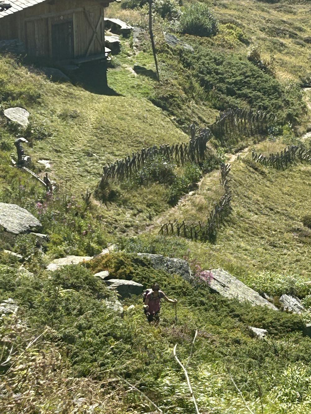
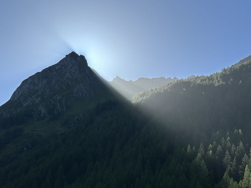
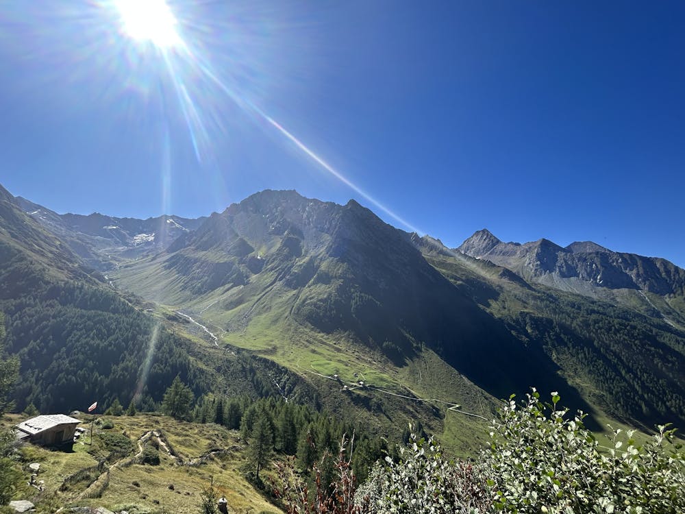
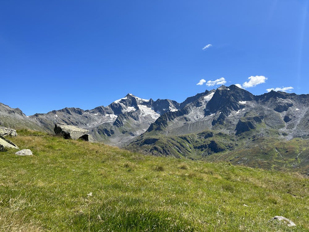
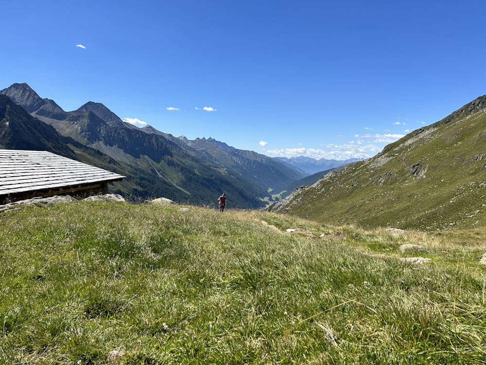
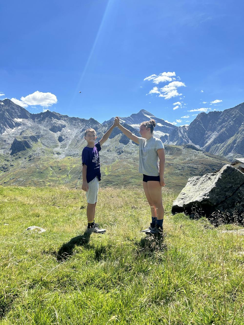
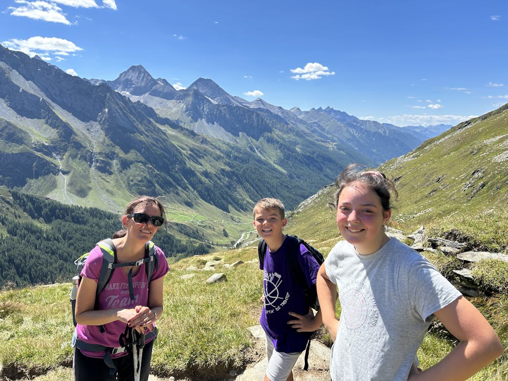
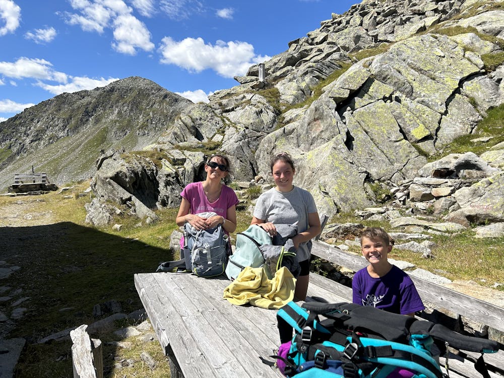
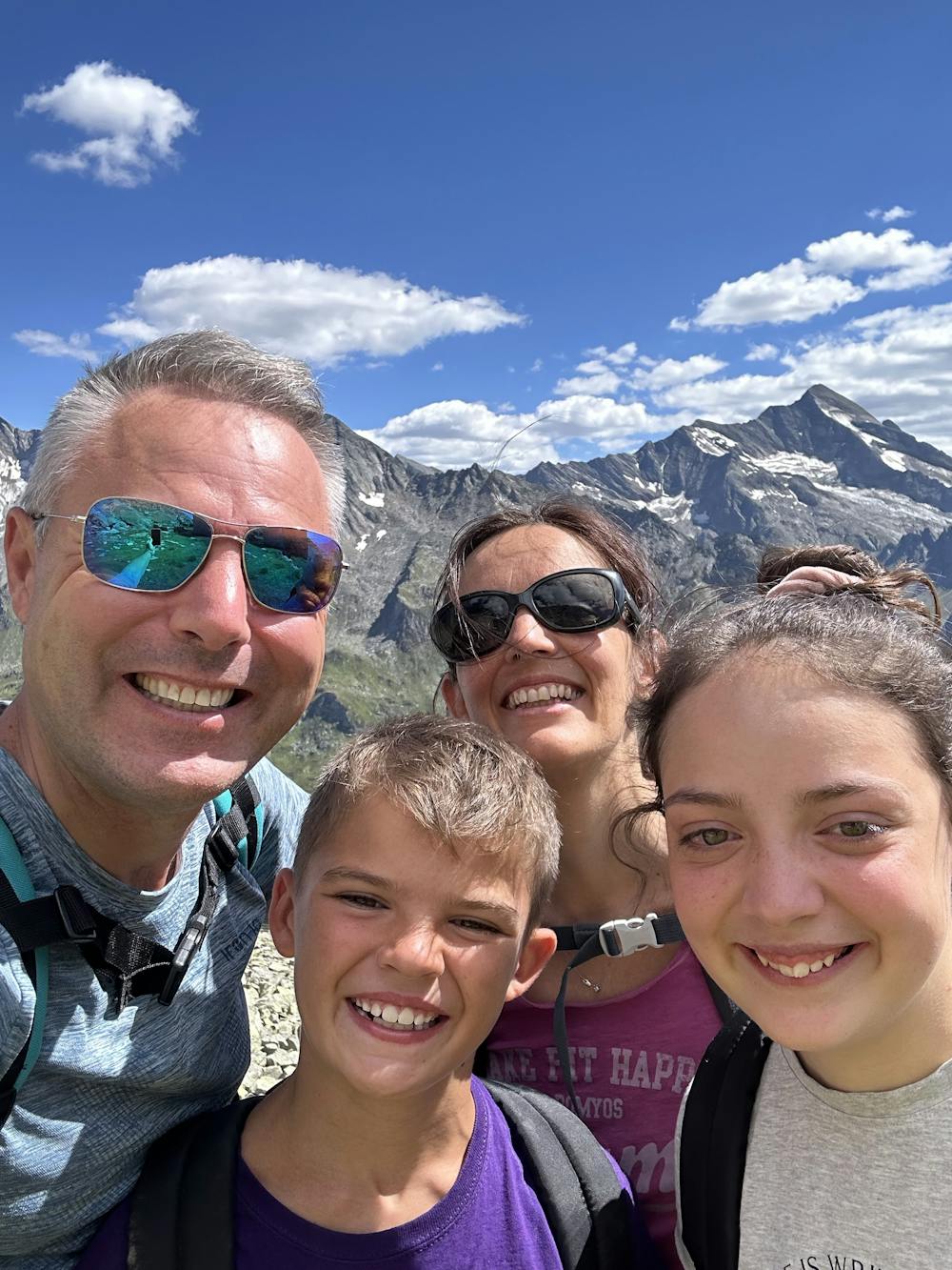
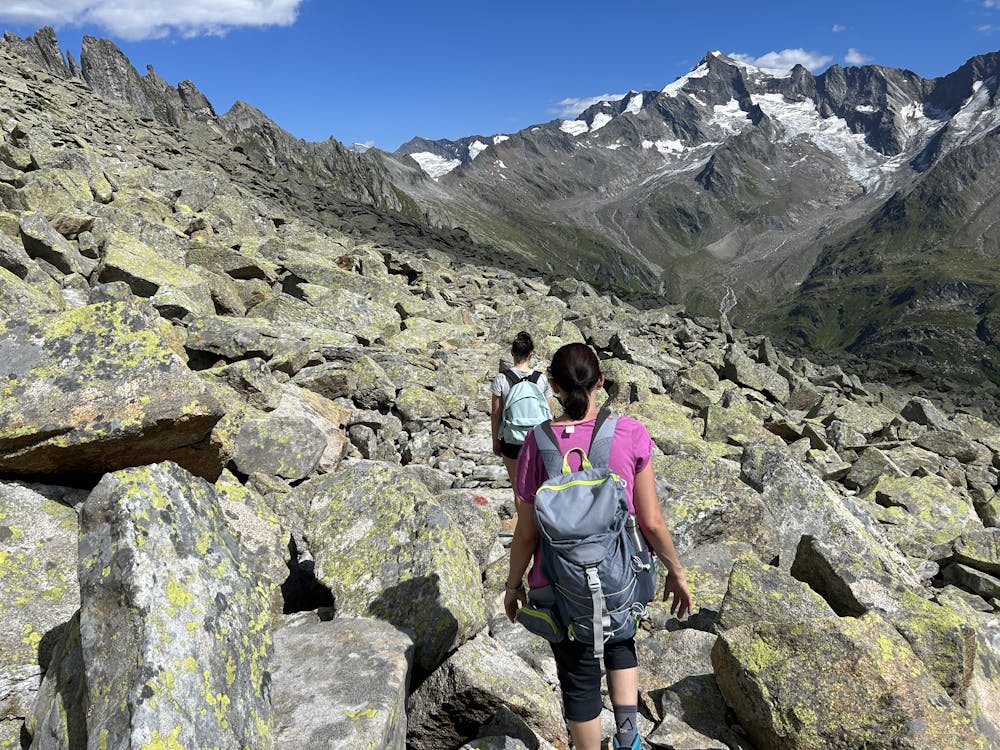
Tour of the northernmost Italian's peak with amazing views and mixed trail.
Alpine Climbing Difficult
- Distance
- 21 km
- Ascent
- 1.2 km
- Descent
- 1.2 km
- Low Point
- 1.6 km
- High Point
- 2.6 km
- Gradient
- 18˚

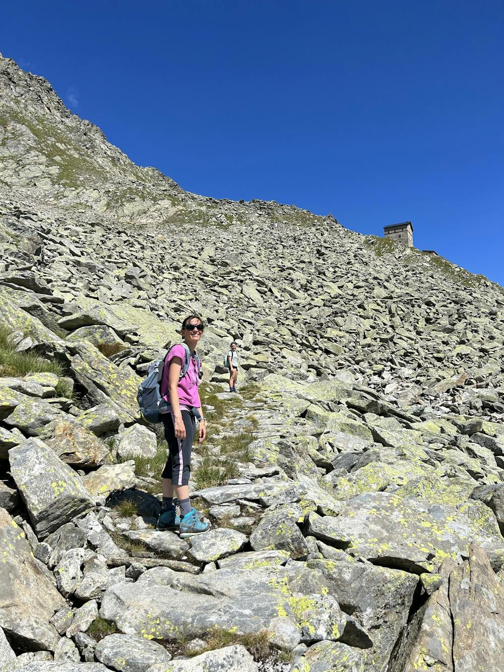
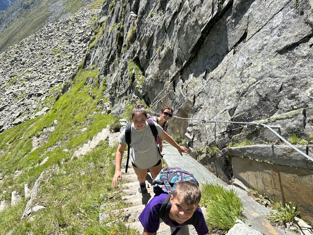
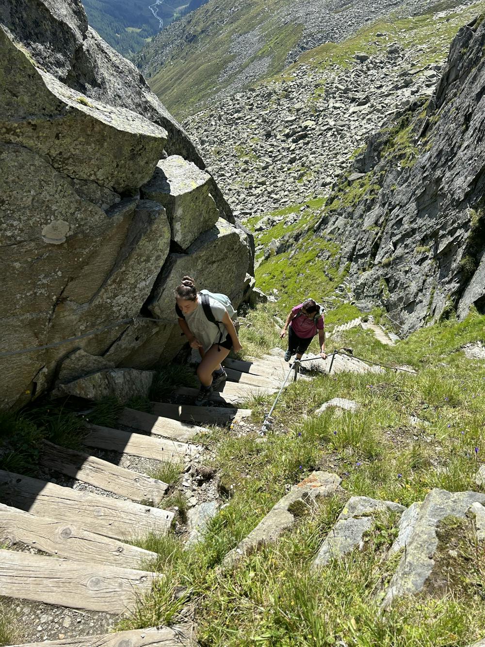
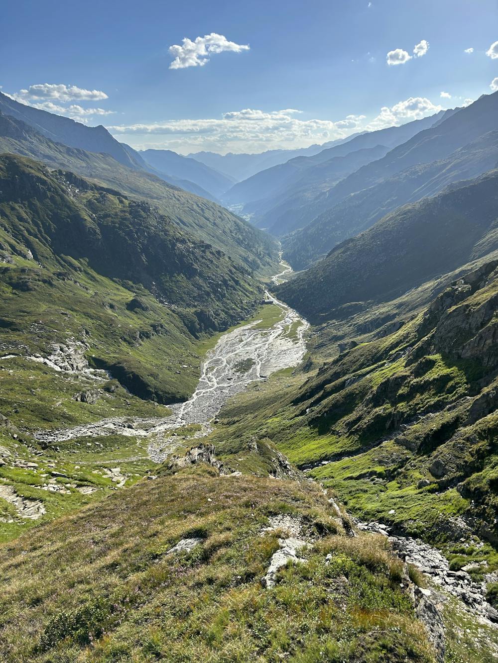
This is a popular alpine climbing route which is generally considered to be difficult. It's not remote, it features medium exposure and is typically done between June and September. From a low point of 1.6 km to the maximum altitude of 2.6 km, the route covers 21 km, 1151 vertical metres of ascent and 1153 vertical metres of descent.
- •
- •
- •
- •
- •
- •
- •
- •
- •
- •
- •
- •
- •
- •
- •
Description
Very panoramic tour with no particular difficulties , except length of more than 20km
Difficulty
Difficult
The beginning of truly technical terrain which might involve pitched climbing on rock and/or ice, exposed terrain and complex route finding in ascent and descent. Equivalent to AD, AD+
Medium Exposure

The route features some exposed and/or difficult to protect sections.
Remoteness

Close to help in case of emergency.