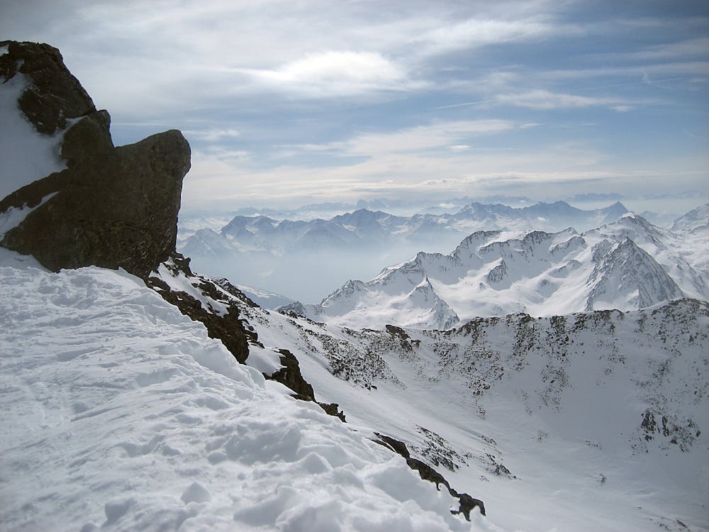
Hinterer Wurmkogel to Hochgurgl
Obergurgl
Sölden
Trentino-Alto Adige
Get away from the crowds on this satisfyingly long descent.
Also in Tirol, Austria
Freeride Skiing Difficult
- Distance
- 3.8 km
- Ascent
- 14 m
- Descent
- 1.1 km
- Low Point
- 2 km
- High Point
- 3.1 km
- Gradient
- 47˚

This is a popular freeride skiing route which is generally considered to be difficult. It's remote, it features high exposure (e3) and is typically done between November and April. From a low point of 2 km to the maximum altitude of 3.1 km, the route covers 3.8 km, 14 vertical metres of ascent and 1092 vertical metres of descent.
Description
Freeride from near the peak of Hinterer Wormkogel (3082m) all the way down a smooth 800m descent to Hochgurgl just above the valley floor.
Difficulty
Difficult
Serious gradient of 30-38 degrees where a real risk of slipping exists.
High Exposure (E3)

In case of a fall, death is highly likely.
Remoteness

Away from help but easily accessed.
Best time to visit
Features
- Face
- Trees