7.8 km away
Alta Via Dolomiti 3
A challenging 100km high altitude hike across the eastern Dolomites.
Difficult Hiking
- Distance
- 115 km
- Ascent
- 8.1 km
- Descent
- 8.8 km
The classic route of the 10 Alta Via Dolomiti high altitude trails.
Also in Belluno, Italy
Hiking Moderate

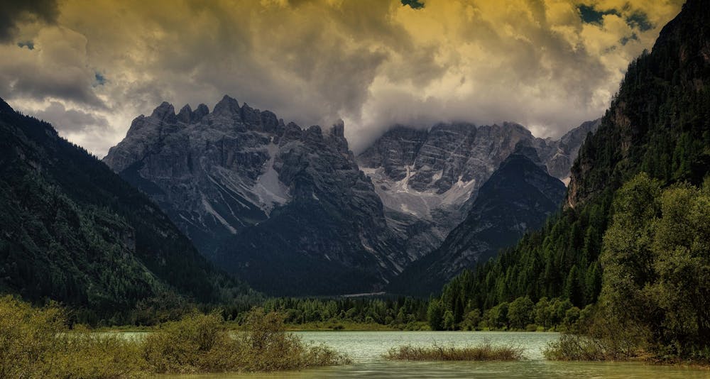
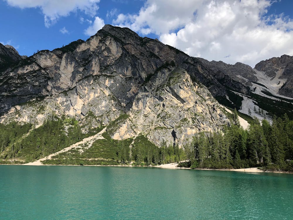
Hike 130km over 10 days from the beautiful Brais Lake in South Tyrol, across the eastern Dolomites, to the renaissance-era town of Belluno in Veneto.
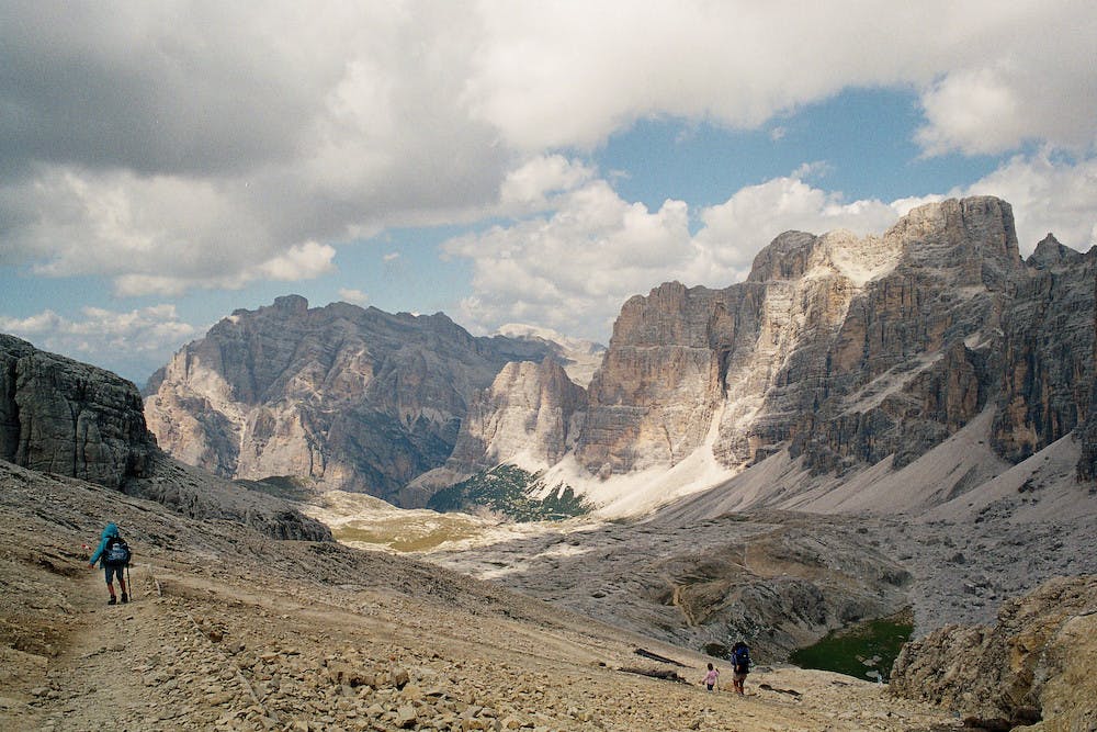
The hiking is technically easy, but there are a lot of climbs throughout the trip. The height profile varies between 1500-2800 metres with an average height difference of 600-900m per day, with the toughest day coming right at the start as you ascend 900m from Lago di Braies to reach the high mountains.
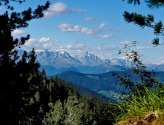
Along the way, you will pass the magnificent Monte Santa Croce, Tofane, Marmolada, Civetta, and Monte Pelmo peaks. There are also multiple points of historical interest dotted along the route, including the battlefields from WWI at Passo Falzarego.
Since it is so spectacular, the Alta Via 1 is, of course, very popular with hikers and tour groups. The benefit of its popularity is that its infrastructure is excellent. The route is well-signed with red and white striped painted markers, and at the end of every day, there is always a great Refugi (mountain hut) to hang your hat (if you booked in advance!). But if you would prefer to feel more off-the-beaten-path, then Alta via Dolomiti 2 is probably more for you.
Sources
https://www.alpineexploratory.com/walking-guides/alta-via-1.html https://www.lonelyplanet.com/italy/the-veneto/belluno https://www.altabadia.org/en/summer-holidays/trekking-hiking/doolomites-high-route-1.html
Moderate
Hiking along trails with some uneven terrain and small hills. Small rocks and roots may be present.

The trail contains some obstacles such as outcroppings and rock which could cause injury.
Away from help but easily accessed.
7.8 km away
A challenging 100km high altitude hike across the eastern Dolomites.
Difficult Hiking

10 routes · Hiking