6.6 km away
Alta Via Dolomiti 5
Hike the Dolomites from Sesto Pusteria to Pieve di Cadore along a tough high altitude trail.
Severe Hiking
- Distance
- 81 km
- Ascent
- 6.3 km
- Descent
- 6.7 km
One of the shorter yet more challenging of the 10 Alta Via Dolomiti hiking trails.
Also in Belluno, Italy
Hiking Difficult

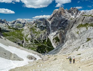
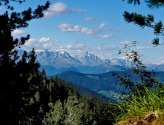
Cross the spectacular eastern Dolomites by foot from San Candido in the Val Pusteria to Pieve di Cadore in the province of Belluno. It's a 6-day long hardcore hike, with some particularly challenging sections demanding climbing experience. The scrambles, burning muscles and sometimes sketchy descents are all made worth it by the unbelievably beautiful scenery surrounding you.
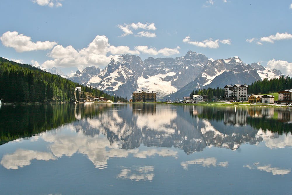
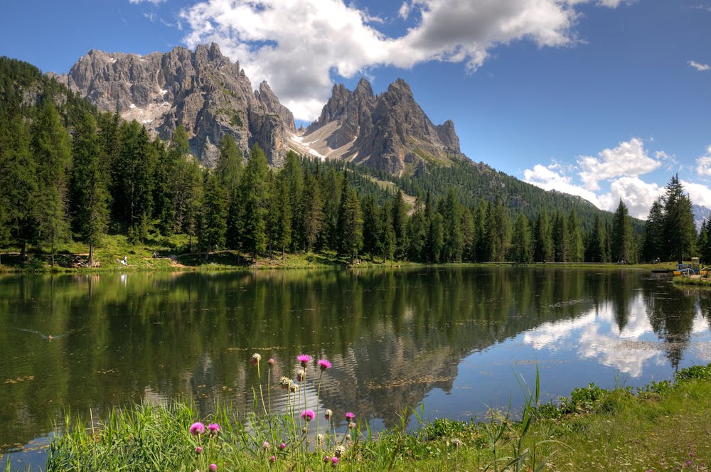
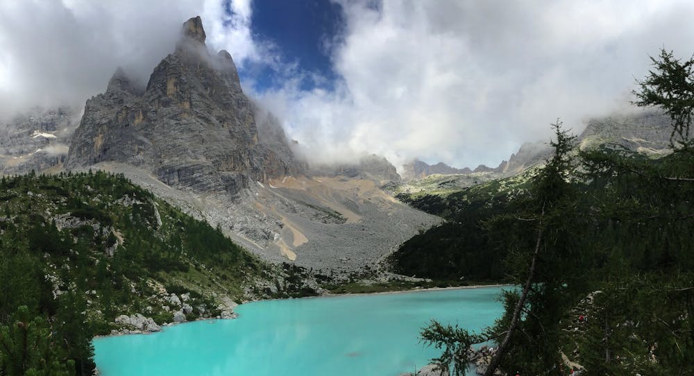
The trail takes you to the magnificent 12 hectares wide Lake Misurina, across high plains and through wild, remote valleys where all you will hear is the sound of the birds in the sky. During the 85km hike you will of course be passing through many epic high mountain landscapes. First stop is the Cadini, then on to circle the Sorapis range, and the big finale; climbing the second highest peak in the Dolomites, the Monte Antelao.
Sources
https://www.visitdolomites.com/page2/alta-via-delle-dolomiti-no-4/?lang=en
Difficult
Hiking trails where obstacles such as rocks or roots are prevalent. Some obstacles can require care to step over or around. At times, the trail can be worn and eroded. The grade of the trail is generally quite steep, and can often lead to strenuous hiking.

Some trail sections have exposed ledges or steep ascents/descents where falling could cause serious injury.
Little chance of being seen or helped in case of an accident.
6.6 km away
Hike the Dolomites from Sesto Pusteria to Pieve di Cadore along a tough high altitude trail.
Severe Hiking
8.4 km away
A challenging 100km high altitude hike across the eastern Dolomites.
Difficult Hiking

10 routes · Hiking