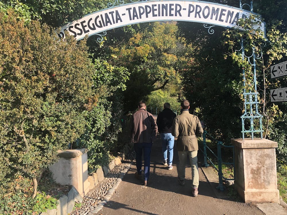
Tappeiner Promenade
Trentino-Alto Adige
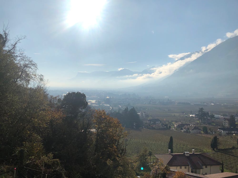
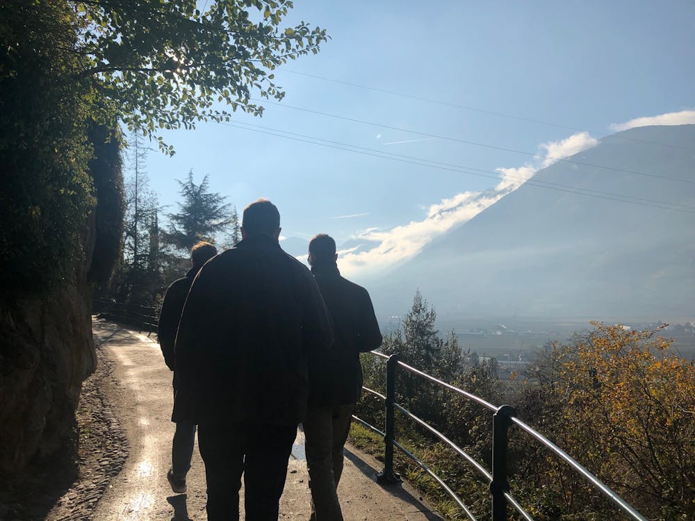
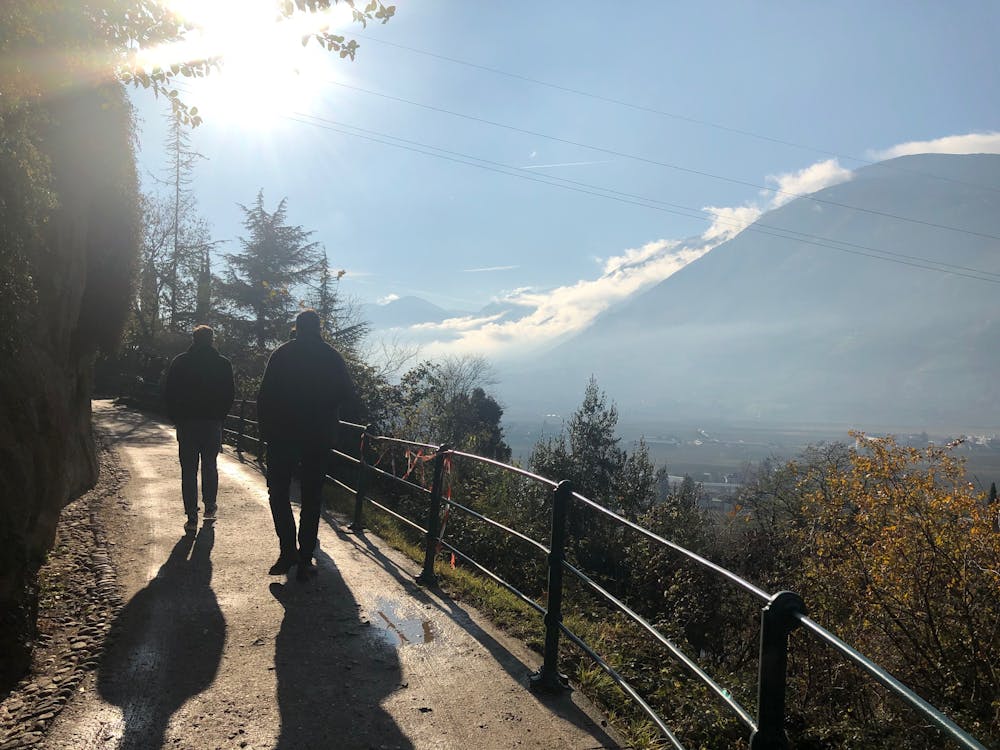
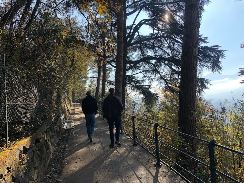
The famous Tappeinerweg / Tappeiner promonade is an easy, family friendly, pushchair friendly walk any time of year with great views of the city and plenty of refreshments along the way.
Hiking Easy
- Distance
- 3.4 km
- Ascent
- 42 m
- Descent
- 104 m
- Duration
- 0-1 hrs
- Low Point
- 343 m
- High Point
- 413 m
- Gradient
- 13˚

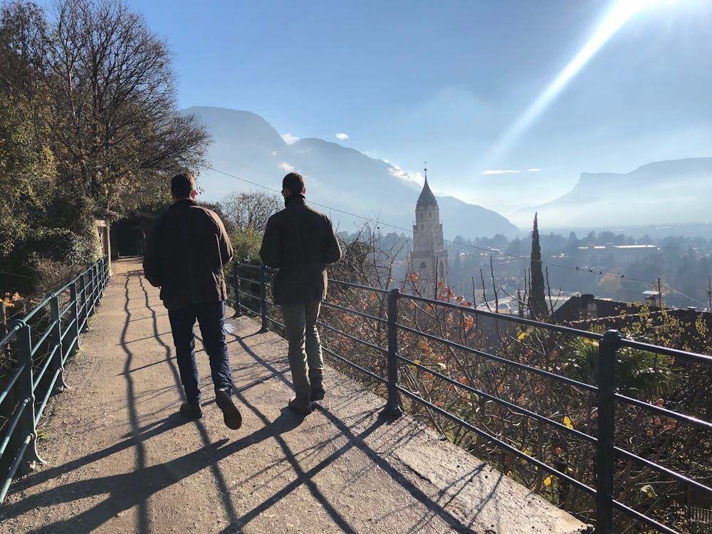
The Tappeinerweg or Tappeiner Promonade is probably the most popular walk in Merano. It's more of a tourist walk than a hike but is popular with local runners. The path crosses a couple of hundred metres above the city and goes from one end of it to the other. Which ever end you start from, you'll need to walk back to the start if you left your car there.

- •
- •
- •
- •
- •
- •
- •
- •
- •
- •
- •
- •
Description
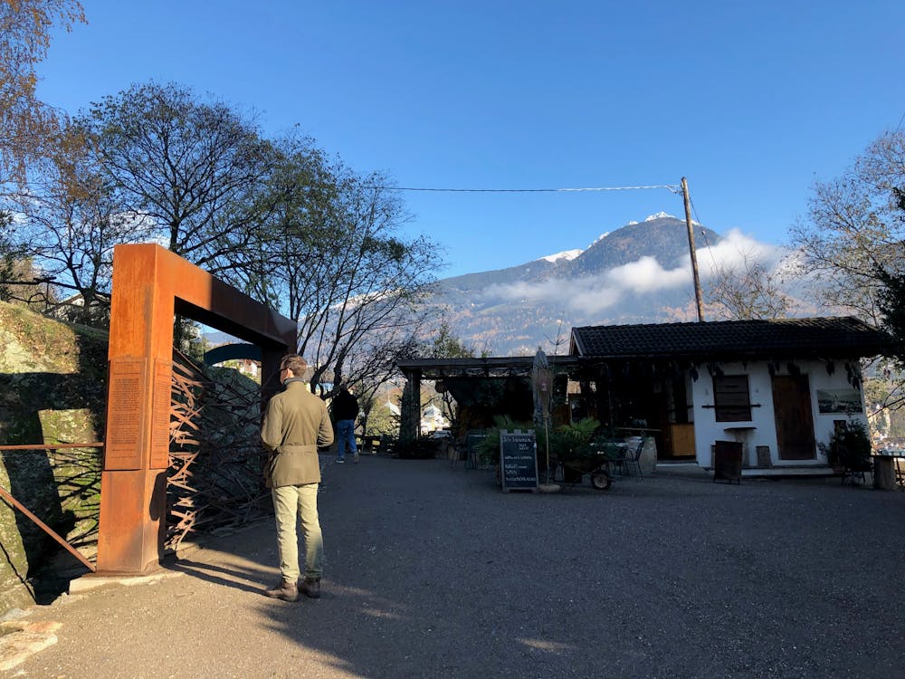
It's possible to leave the walk (or join it) at various points along the path - you don't need to do the whole thing.
There is more parking available at the town centre end of the walk and arguably the best way to do the walk is the opposite direction to the one shown here.
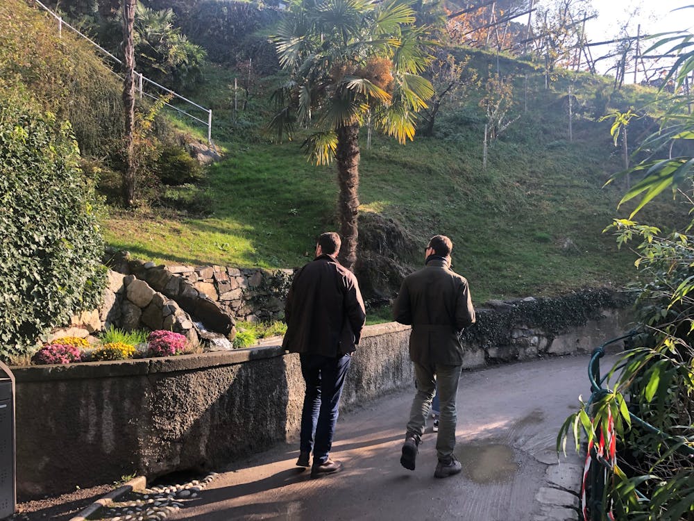
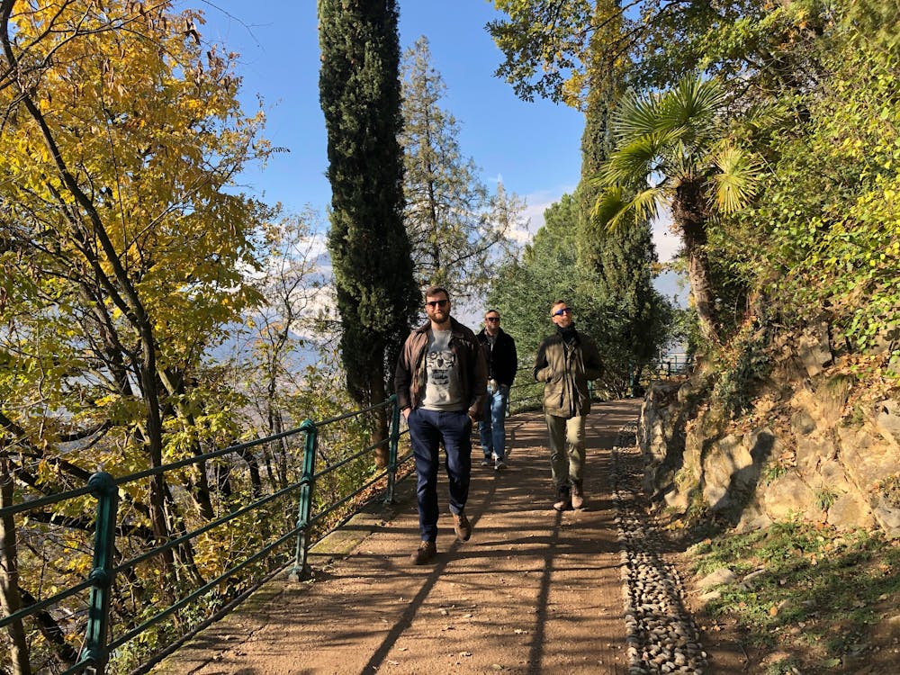
The walk itself passes through many vineyards and old terracing and care has been taken to plant lots of alpine and mediterranean flora along the way from pines, cork oaks, olive trees, agaves and more.
Difficulty
Easy
Walking along a well-kept trail that’s mostly flat. No obstacles are present.