7.5 km away
Ciampinoi to the Gran Paradiso Chairlift
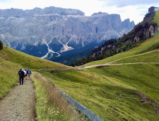
A scenic and easy roll down a shared use trail
Moderate Mountain Biking
- Distance
- 2.8 km
- Ascent
- 48 m
- Descent
- 276 m
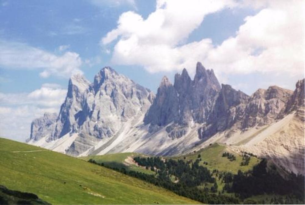
Up to the church of Resciesa than Brogles and Cuecenes Valley
Mountain Biking Difficult

Startin from the church of s Durich in Ortisei -->Val d Anna --> Cuca Street till Martinhof -->direction towards Resciesa -->at the chapel go back till rifugio Rasciesa -->take trail nr 35 -->at Brogles pass take the trail nr. 5 to the right side -->go towards seceda cablecar intersection -->follow the signs to Ortisei
Difficult
Mostly stable trail tread with some variability featuring larger and more unavoidable obstacles that may include, but not be limited to: bigger stones, roots, steps, and narrow curves. Compared to lower intermediate, technical difficulty is more advanced and grades of slopes are steeper. Ideal for upper intermediate riders.

Some trail sections are extremely exposed where falling will almost certainly result in serious injury or death.

Away from help but easily accessed.
7.5 km away
A scenic and easy roll down a shared use trail
Moderate Mountain Biking
8.9 km away
A long and beautiful journey down to a charming village
Difficult Mountain Biking
5 routes · Mountain Biking