7.4 km away
Ciampinoi to the Gran Paradiso Chairlift
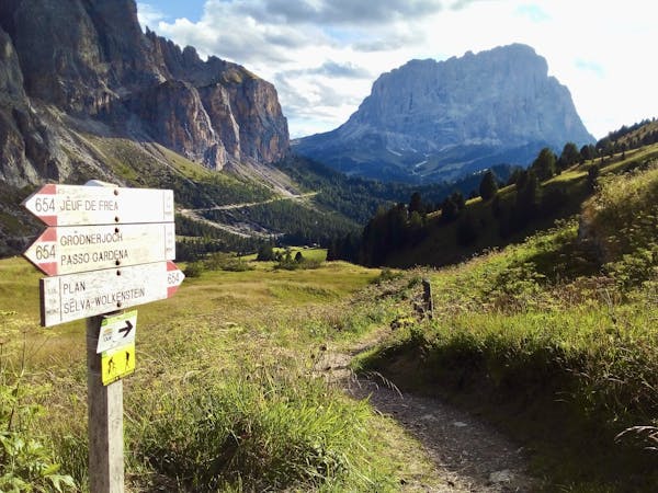
A scenic and easy roll down a shared use trail
Moderate Mountain Biking
- Distance
- 2.8 km
- Ascent
- 48 m
- Descent
- 276 m
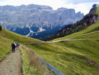
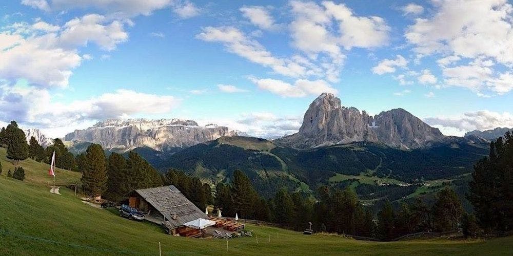
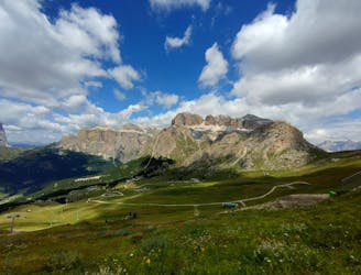
Trail Route with panoramic view
Mountain Biking Moderate

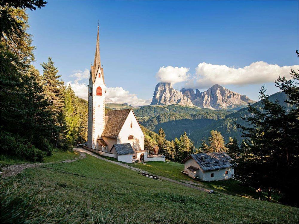
Starting from Ortisei we follow the cycling path towards to Soplajes. Following the signs to St. Jacobs church, wich is the oldes church in this beautifull valley. After this first stunning view point we follow the trail that passes by the Peza farm, one of the oldest farms of Ortisei, to get up above St.Christina than we follow the trails to the Pramulin Hut and further away again back on the cycling path to Ortisei
Moderate
Mostly stable trail tread with some variability, with unavoidable obstacles 8in/20cm tall or less. Other obstacles such as rock gullies and steep sections may exist. Ideal for lower intermediate riders.

The path is on completely flat land and potential injury is limited to falling over.
Close to help in case of emergency.
7.4 km away
A scenic and easy roll down a shared use trail
Moderate Mountain Biking
8.7 km away
A long and beautiful journey down to a charming village
Difficult Mountain Biking
5 routes · Mountain Biking