7.4 km away
Ciampinoi to the Gran Paradiso Chairlift
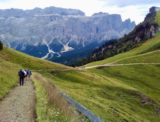
A scenic and easy roll down a shared use trail
Moderate Mountain Biking
- Distance
- 2.8 km
- Ascent
- 48 m
- Descent
- 276 m
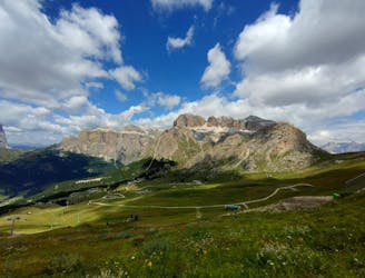
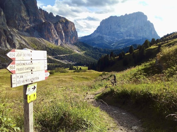
Ortisei-Monte Pana-Alpe di Siusi
Mountain Biking Easy

Starting from Ortisei we follow the Cycling path towards St. Christina and further on to Monte Pana. We follow the panoramic gravel road towards Saltria on the beautifull Alpe di Siusi. After a litte uphill part we reach the plateau of Alpe di Siusi where we go towards the Cablecar station of Alpe di Siusi wich will bring us back to the starting point.

Easy
Mostly smooth and non-technical singletrack with unavoidable obstacles 2in/5cm tall or less. Avoidable obstacles may be present. Ideal for beginner riders.

The path is on completely flat land and potential injury is limited to falling over.

Away from help but easily accessed.
7.4 km away
A scenic and easy roll down a shared use trail
Moderate Mountain Biking
8.7 km away
A long and beautiful journey down to a charming village
Difficult Mountain Biking
5 routes · Mountain Biking