Tra cime. laghi. parchi Dolomitici super trail
Kronplatz - Plan de Corones
Trentino-Alto Adige
Bikepacking 2 giorni
Mountain Biking Difficult
- Distance
- 127 km
- Ascent
- 7.2 km
- Descent
- 6.9 km
- Duration
- 1 day +
- Low Point
- 827 m
- High Point
- 2.5 km
- Gradient
- 23˚

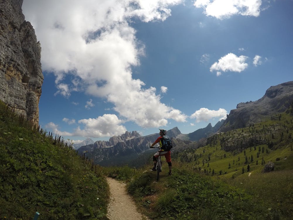
This is a popular mountain biking route which is generally considered to be difficult. It's very remote, it features medium exposure and is typically done in undefined. From a low point of 827 m to the maximum altitude of 2.5 km, the route covers 127 km, 7189 vertical metres of ascent and 6865 vertical metres of descent.
Description
Tour da Brunico a Villabassa rientro in treno
Difficulty
Difficult
Mostly stable trail tread with some variability featuring larger and more unavoidable obstacles that may include, but not be limited to: bigger stones, roots, steps, and narrow curves. Compared to lower intermediate, technical difficulty is more advanced and grades of slopes are steeper. Ideal for upper intermediate riders.
Medium Exposure

The trail contains some obstacles such as outcroppings and rock which could cause injury.
Remoteness

Little chance of being seen or helped in case of an accident.
Best time to visit
Features
- Technical
- Road sections
- Jumps
- Rock Gardens