Upper Schöneben Trail
Belpiano (Schöneben)
Malga San Valentino
Trentino-Alto Adige
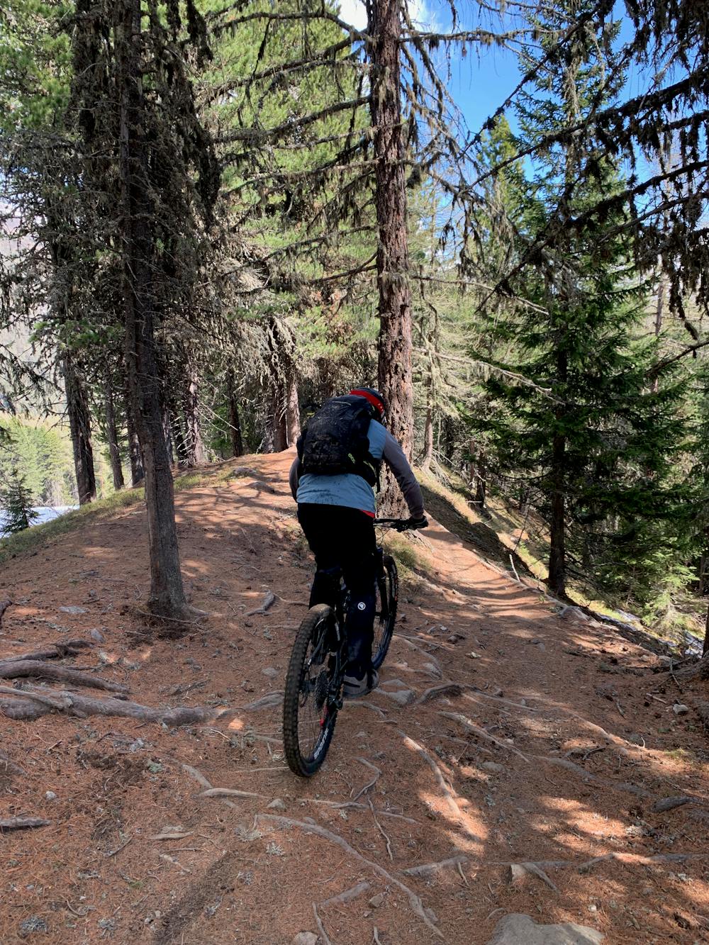
Rooty and challenging!
Mountain Biking Difficult
- Distance
- 1.8 km
- Ascent
- 0 m
- Descent
- 331 m
- Duration
- 0-1 hrs
- Low Point
- 1.8 km
- High Point
- 2.1 km
- Gradient
- 11˚

A locals favourite and a dream downhill trail for every enduro lover, the Upper Schöneben Trail is steep, deep and rooty!
- •
- •
- •
- •
- •
- •
- •
Description
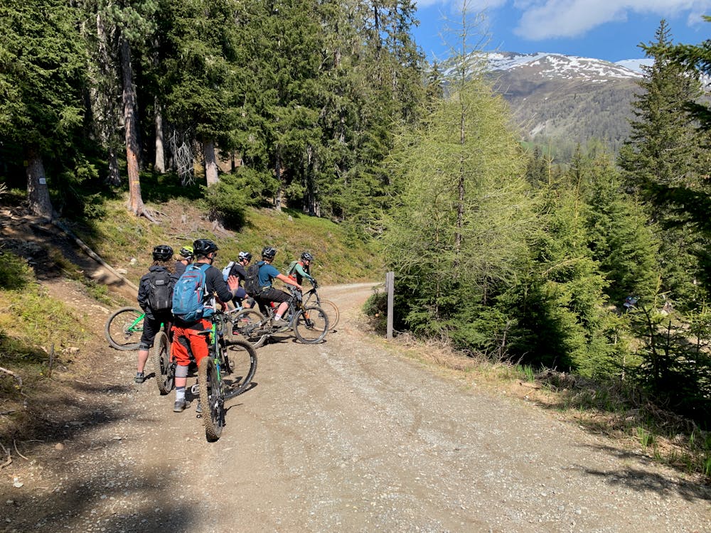
Located in the Italian side of the 3-Länder Trails region, the upper part of the Schöneben Trail is famous for its fast and steep sections, definitely not suitable for beginners.
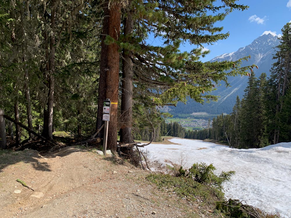
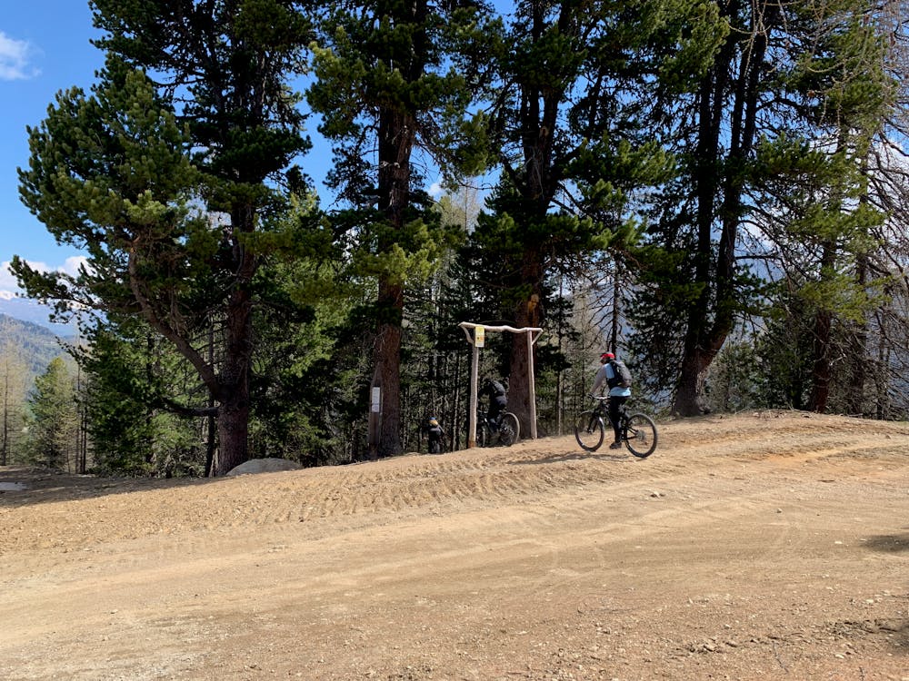
The trail begins on the left side of the top Schöneben lift station, and is easily visible with a clear sign marking the route.
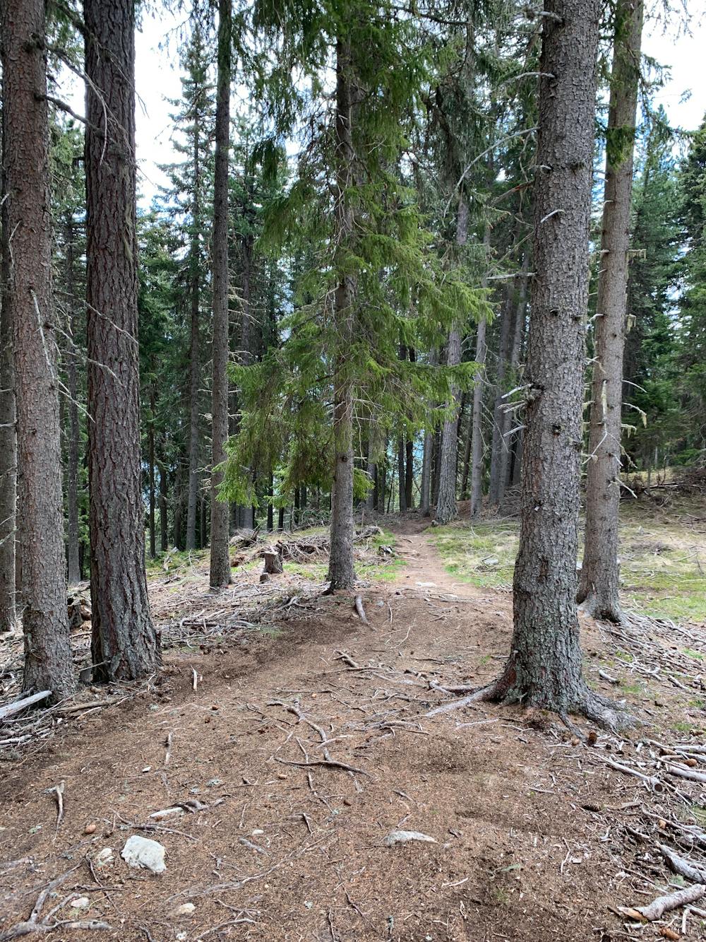
It starts as it means to go on: in the trees with a rocky entrance followed by roots and berms!
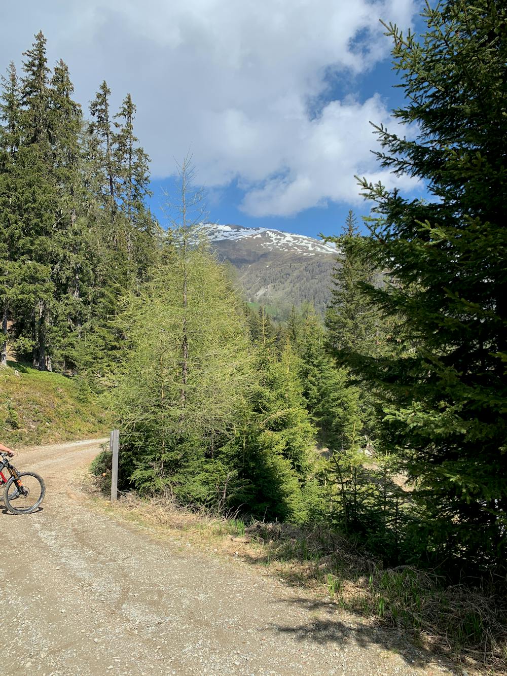
You'll get the odd glimpse of Lake Reschen below you but keep your eyes on the trail as it requires full concentration.
For enduro and downhill lovers, this trail will only bring a smile to your face and when you emerge at the end, you'll be pleased to see the trail continues with the Lower Schöneben Trail!
For more info, tickets and opening times, head to: http://www.3-laenderendurotrails.com/
Difficulty
Difficult
Mostly stable trail tread with some variability featuring larger and more unavoidable obstacles that may include, but not be limited to: bigger stones, roots, steps, and narrow curves. Compared to lower intermediate, technical difficulty is more advanced and grades of slopes are steeper. Ideal for upper intermediate riders.
Low Exposure

The path is on completely flat land and potential injury is limited to falling over.
Remoteness
Close to help in case of emergency.
Best time to visit
Features
- Technical
- Singletrack
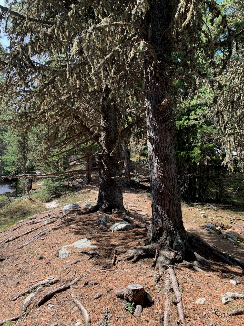
- In the forest
- Jumps
- Roots
- Rock Slabs
- Rock Gardens
- Wooden Feature