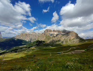
7.4 km away
Ciampinoi to the Gran Paradiso Chairlift
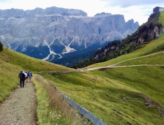
A scenic and easy roll down a shared use trail
Moderate Mountain Biking
- Distance
- 2.8 km
- Ascent
- 48 m
- Descent
- 276 m
Tour trough the beautifull Val Gardena and the Sassolung Bike Park
Mountain Biking Moderate

This is a popular mountain biking route which is generally considered to be moderate. It's not remote, it features low exposure and is typically done between April and November. From a low point of 1.2 km to the maximum altitude of 2.2 km, the route covers 27 km, 1083 vertical metres of ascent and 1084 vertical metres of descent.
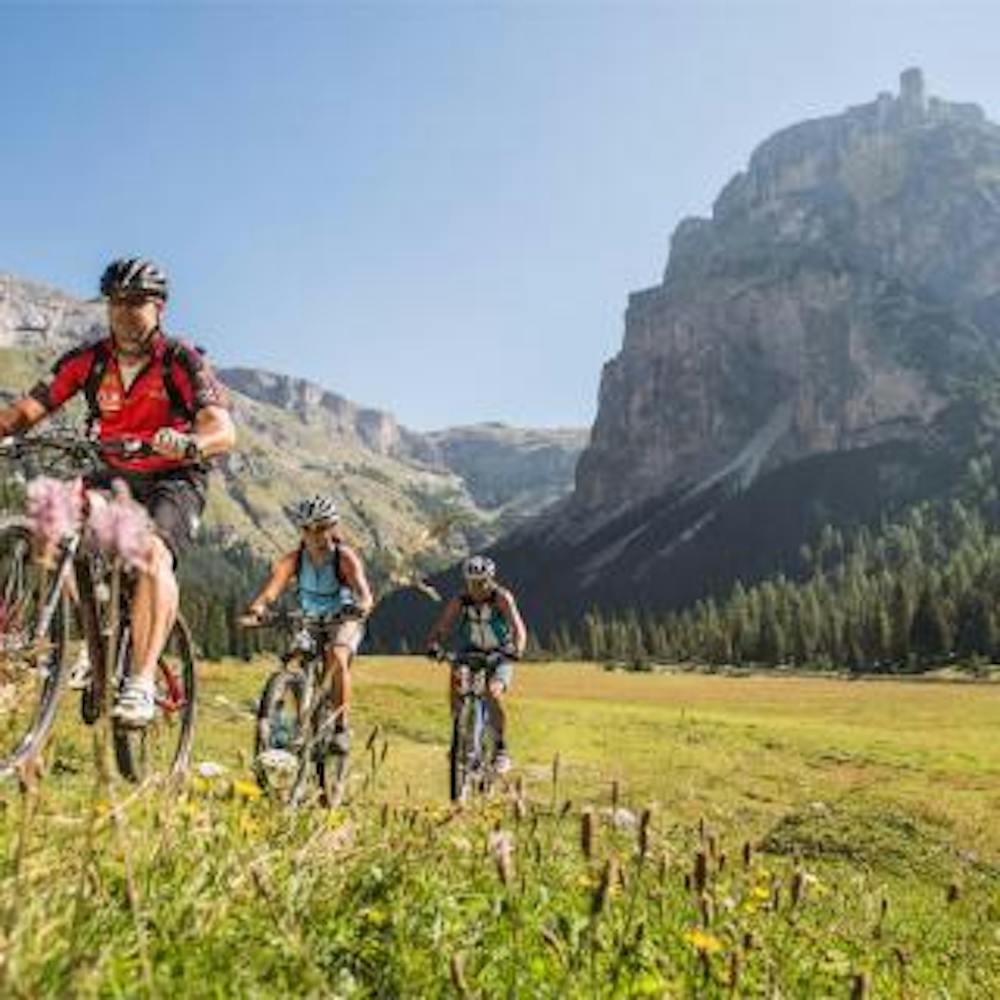
Beatifull tour threoug the whole valley of Val Gardena. We pass Ortisei, St. Christina and Selva till we reach the new bike park of Sassolungo at Plan de Gralba.
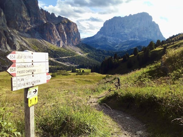
Moderate
Mostly stable trail tread with some variability, with unavoidable obstacles 8in/20cm tall or less. Other obstacles such as rock gullies and steep sections may exist. Ideal for lower intermediate riders.

The path is on completely flat land and potential injury is limited to falling over.
Close to help in case of emergency.
7.4 km away
A scenic and easy roll down a shared use trail
Moderate Mountain Biking
8.7 km away
A long and beautiful journey down to a charming village
Difficult Mountain Biking
5 routes · Mountain Biking