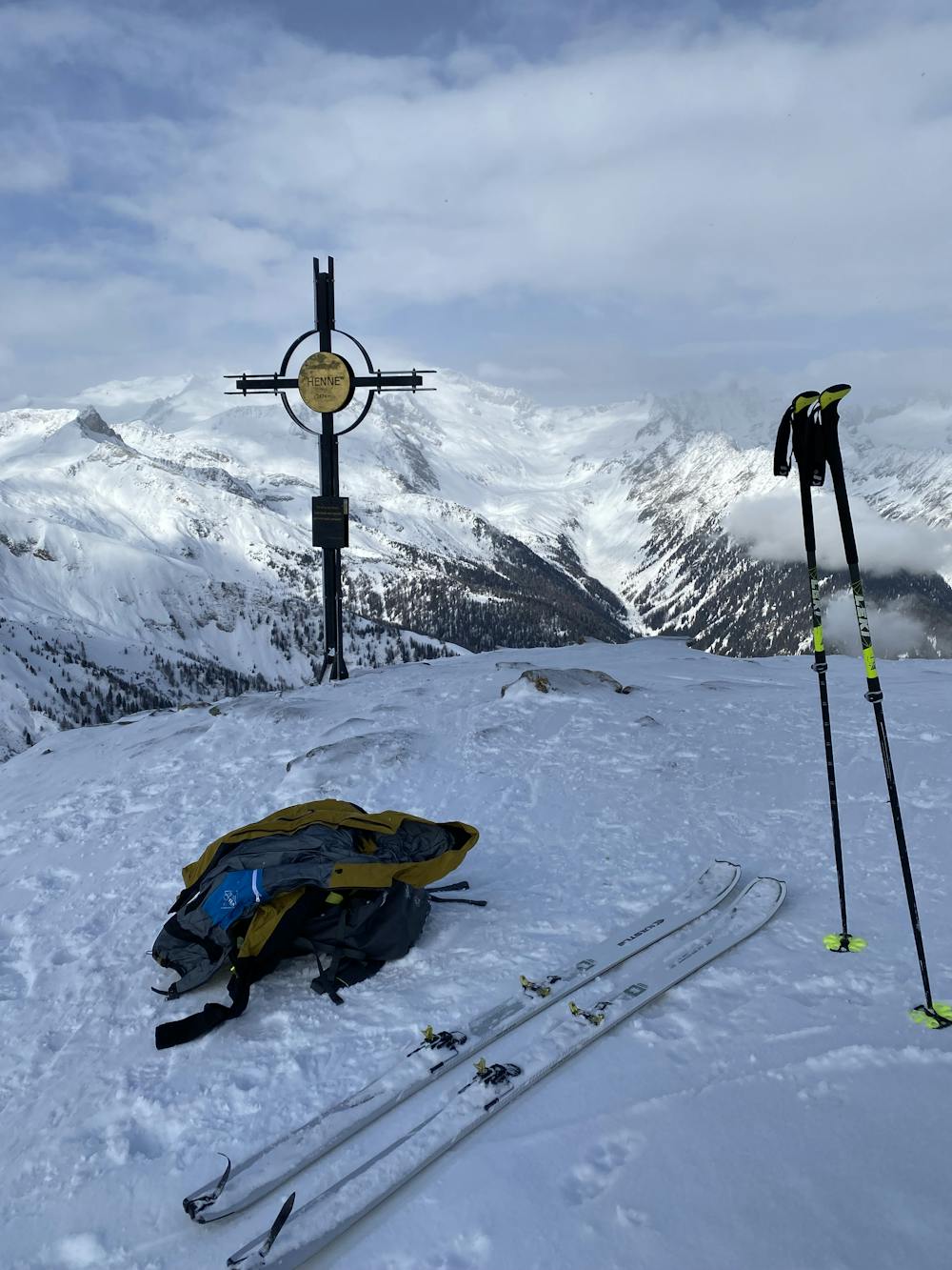
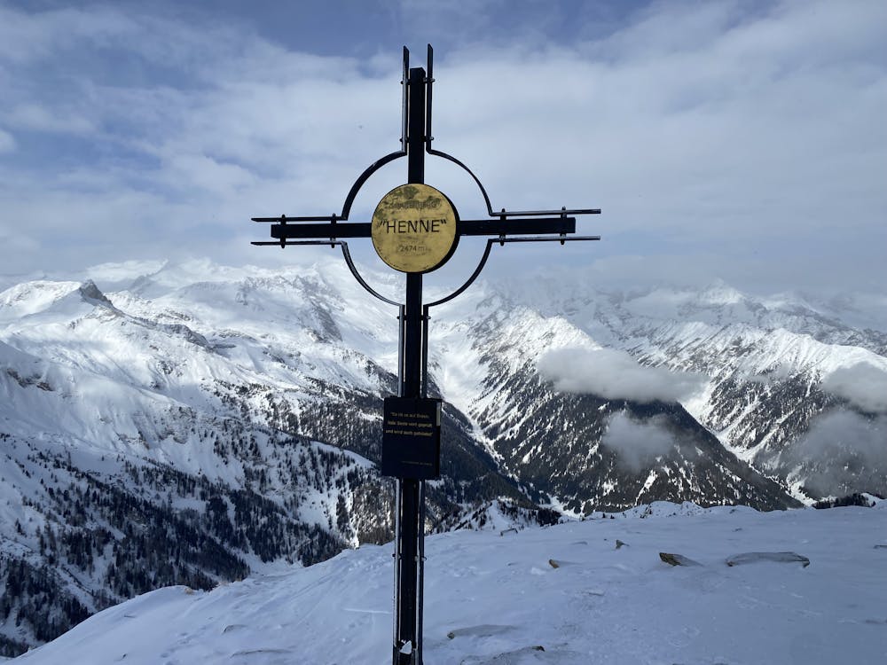
Henne Weißenbach
Trentino-Alto Adige
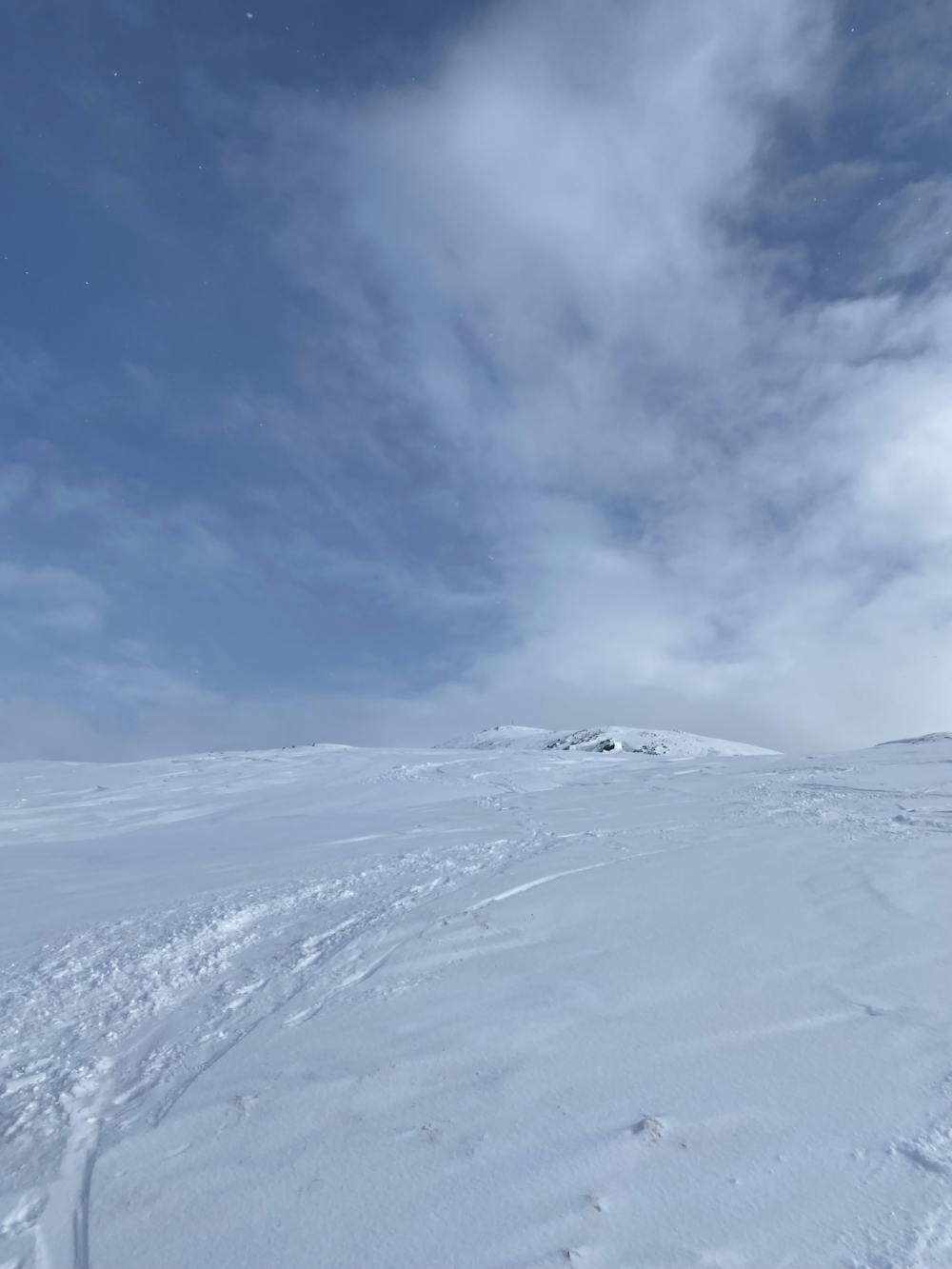
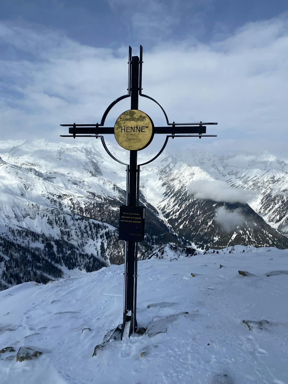
Skitour to Henne/Gornerberg 2474m Südtirol
Ski Touring Moderate
- Distance
- 6.2 km
- Ascent
- 973 m
- Descent
- 40 m
- Duration
- 3-4 hrs
- Low Point
- 1.5 km
- High Point
- 2.5 km
- Gradient
- 31˚

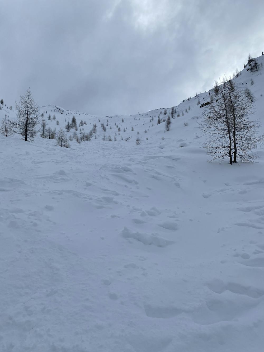
This is a popular ski touring route which is generally considered to be moderate. It's remote, it features medium exposure (e2) and is typically done between November and April. From a low point of 1.5 km to the maximum altitude of 2.5 km, the route covers 6.2 km, 973 vertical metres of ascent and 40 vertical metres of descent. You'll need skins and crampons to complete it safely.

- •
- •
- •
- •
- •
- •
Description
Skitour to the Henne Gipfelkreuz
Difficulty
Moderate
Slopes become slightly steeper at around 25-30 degrees.
Medium Exposure (E2)

As well as the slope itself, there are some obstacles (such as rock outcrops) which could aggravate injury.
Remoteness
Away from help but easily accessed.
Best time to visit
Features
- Alpine
- Ski Mountaineering
Equipment required
- Skins
- Crampons